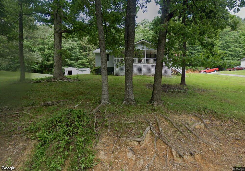
296 Allen Loop SE Calhoun, GA 30701
Estimated Value: $227,473 - $257,000
3
Beds
2
Baths
1,340
Sq Ft
$183/Sq Ft
Est. Value
About This Home
This home is located at 296 Allen Loop SE, Calhoun, GA 30701 and is currently estimated at $245,618, approximately $183 per square foot. 296 Allen Loop SE is a home located in Gordon County with nearby schools including Sonoraville Elementary School, Red Bud Middle School, and Sonoraville High School.
Ownership History
Date
Name
Owned For
Owner Type
Purchase Details
Closed on
May 27, 2020
Sold by
Jones Lorie Jane
Bought by
Jones Thomas R
Current Estimated Value
Create a Home Valuation Report for This Property
The Home Valuation Report is an in-depth analysis detailing your home's value as well as a comparison with similar homes in the area
Home Values in the Area
Average Home Value in this Area
Purchase History
| Date | Buyer | Sale Price | Title Company |
|---|---|---|---|
| Jones Thomas R | -- | -- |
Source: Public Records
Tax History Compared to Growth
Tax History
| Year | Tax Paid | Tax Assessment Tax Assessment Total Assessment is a certain percentage of the fair market value that is determined by local assessors to be the total taxable value of land and additions on the property. | Land | Improvement |
|---|---|---|---|---|
| 2024 | $1,337 | $54,628 | $4,160 | $50,468 |
| 2023 | $1,252 | $51,276 | $4,160 | $47,116 |
| 2022 | $1,247 | $48,164 | $4,160 | $44,004 |
| 2021 | $1,063 | $39,940 | $4,160 | $35,780 |
| 2020 | $1,099 | $40,360 | $4,160 | $36,200 |
| 2019 | $1,105 | $40,360 | $4,160 | $36,200 |
| 2018 | $1,025 | $37,600 | $4,160 | $33,440 |
| 2017 | $998 | $35,680 | $4,160 | $31,520 |
| 2016 | $1,000 | $35,680 | $4,160 | $31,520 |
| 2015 | $979 | $34,640 | $4,160 | $30,480 |
| 2014 | $912 | $33,334 | $4,171 | $29,162 |
Source: Public Records
Map
Nearby Homes
- 130 Orchard Way SE
- 137 Orchard Way SE
- 219 Orchard Way SE
- 251 Tucker Hollow Rd SE
- 221 Hunters Crossing SE
- 140 Washington St SE
- 390 Foster Lusk Rd SE
- 316 Foster Lusk Rd SE
- 0 Curtis Cir SE Unit 10611011
- 0 Curtis Cir SE Unit 7654260
- 00 Curtis Cir
- 5654 Fairmount Hwy SE
- 0 Lovers Lane Rd SE Unit 10509663
- 5734 Fairmount Hwy SE
- 224 Shadowood Dr SE
- 252 Blackwood Place SE
- 320 Wrights Hollow Rd SE
- 254 Gravely Rd SE
- The Alston Plan at Salacoa - The Overlook at Salacoa
- The Hartwell Plan at Salacoa - The Overlook at Salacoa
- 345 Allen Loop SE
- 314 Allen Loop SE
- 370 Allen Loop SE
- 242 Allen Loop SE
- 353 Allen Loop SE
- 404 Allen Loop SE
- 271 Allen Loop SE
- 406 Allen Loop SE
- 395 Allen Loop SE
- 1055 Boone Ford Rd SE
- 120 Allen Loop SE
- 120 Allen Loop SE
- 441 Allen Loop SE
- 1032 Boone Ford Rd SE
- 1048 Boone Ford Rd SE
- 180 Maloy Ln SE Unit 4
- 180 Maloy Ln SE
- 190 Maloy Ln SE
- 1131 Boone Ford Rd SE
- 170 Maloy Ln SE