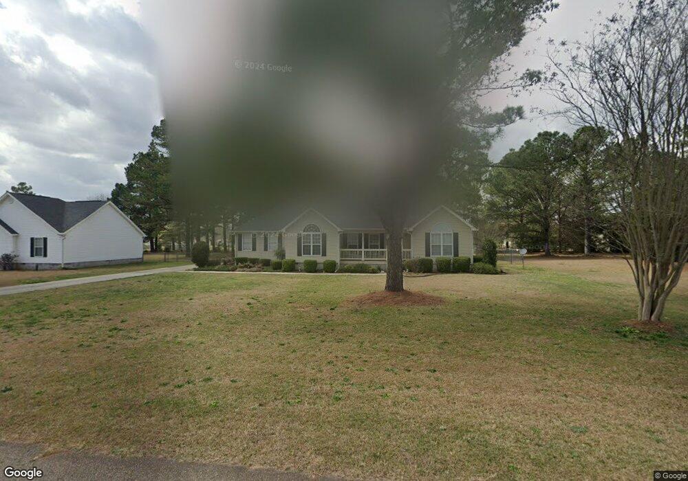
296 Amanda Dr Macon, GA 31216
Estimated Value: $268,490 - $293,000
3
Beds
2
Baths
1,973
Sq Ft
$143/Sq Ft
Est. Value
About This Home
This home is located at 296 Amanda Dr, Macon, GA 31216 and is currently estimated at $281,623, approximately $142 per square foot. 296 Amanda Dr is a home located in Bibb County with nearby schools including Heard Elementary School, Rutland Middle School, and Rutland High School.
Ownership History
Date
Name
Owned For
Owner Type
Purchase Details
Closed on
Jul 12, 2024
Sold by
Hickox Kathy
Bought by
Hickox Kathy and Greene Ronald L
Current Estimated Value
Purchase Details
Closed on
May 28, 2004
Bought by
Hickox Homer Joel and Hickox Kathy
Purchase Details
Closed on
Oct 31, 2000
Purchase Details
Closed on
Mar 7, 2000
Create a Home Valuation Report for This Property
The Home Valuation Report is an in-depth analysis detailing your home's value as well as a comparison with similar homes in the area
Purchase History
| Date | Buyer | Sale Price | Title Company |
|---|---|---|---|
| Hickox Kathy | $25,000 | None Listed On Document | |
| Hickox Homer Joel | $144,900 | -- | |
| -- | $130,000 | -- | |
| -- | $18,000 | -- |
Source: Public Records
Tax History
| Year | Tax Paid | Tax Assessment Tax Assessment Total Assessment is a certain percentage of the fair market value that is determined by local assessors to be the total taxable value of land and additions on the property. | Land | Improvement |
|---|---|---|---|---|
| 2025 | $2,374 | $103,612 | $8,960 | $94,652 |
| 2024 | $2,274 | $96,551 | $8,960 | $87,591 |
| 2023 | $2,062 | $76,629 | $8,960 | $67,669 |
| 2022 | $2,573 | $81,328 | $9,200 | $72,128 |
| 2021 | $2,447 | $71,395 | $9,200 | $62,195 |
| 2020 | $2,202 | $63,712 | $7,360 | $56,352 |
| 2019 | $2,106 | $60,790 | $7,360 | $53,430 |
| 2018 | $3,405 | $60,790 | $7,360 | $53,430 |
| 2017 | $1,796 | $54,946 | $7,360 | $47,586 |
| 2016 | $1,659 | $54,946 | $7,360 | $47,586 |
| 2015 | $2,348 | $54,946 | $7,360 | $47,586 |
| 2014 | $2,352 | $54,946 | $7,360 | $47,586 |
Source: Public Records
Map
Nearby Homes
- 268 Amanda Dr
- 261 Amanda Dr
- 297 Amanda Dr
- 224 Liberty Trace
- 350 Browning Pointe Rd
- 201 Liberty Trace
- 344 Browning Pointe Rd
- 2800 S Estates Rd
- 2813 S Estates Rd
- 116 Fred Ct
- 6045 Cara Dr
- 4057 Liberty Estates Dr
- 6414 Ponderosa Dr
- 3150 Holleman Dr
- 308 Ellis Ct
- 3038 Debra Ann Dr
- 6168 Edwards Dr
- 2154 Allen Rd
- 6670 Fran Dr
- 7070 Sofkee Place
Your Personal Tour Guide
Ask me questions while you tour the home.