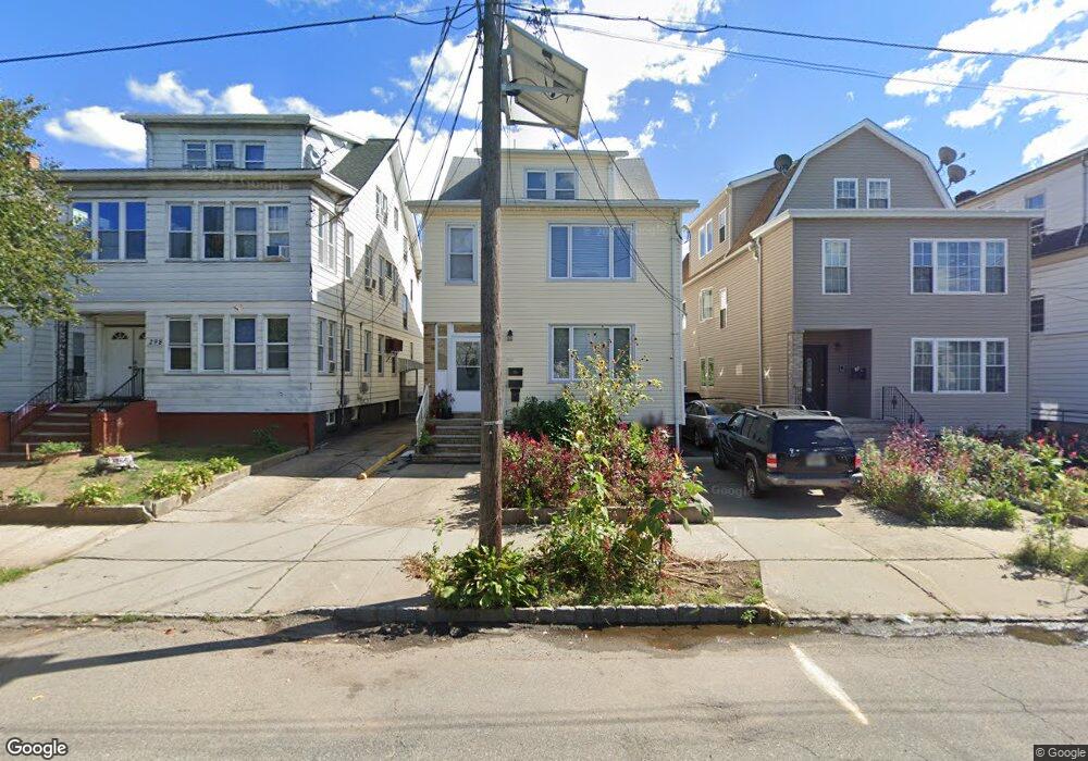
296 Ampere Pkwy Bloomfield, NJ 07003
Estimated Value: $764,000
--
Bed
--
Bath
2,751
Sq Ft
$278/Sq Ft
Est. Value
About This Home
This home is located at 296 Ampere Pkwy, Bloomfield, NJ 07003 and is currently estimated at $764,000, approximately $277 per square foot. 296 Ampere Pkwy is a home located in Essex County with nearby schools including Carteret School, Bloomfield Middle School, and Bloomfield High School.
Ownership History
Date
Name
Owned For
Owner Type
Purchase Details
Closed on
Sep 7, 2004
Current Estimated Value
Purchase Details
Closed on
Oct 1, 2001
Sold by
Silva Laura
Bought by
Rodriguez Jose and Rodriguez Yesenia
Home Financials for this Owner
Home Financials are based on the most recent Mortgage that was taken out on this home.
Original Mortgage
$180,000
Interest Rate
6.86%
Purchase Details
Closed on
Feb 22, 1995
Sold by
Canella Domenica
Bought by
Jagrup Jagdeo and Bisesar Savitrie
Home Financials for this Owner
Home Financials are based on the most recent Mortgage that was taken out on this home.
Original Mortgage
$146,000
Interest Rate
8.96%
Create a Home Valuation Report for This Property
The Home Valuation Report is an in-depth analysis detailing your home's value as well as a comparison with similar homes in the area
Home Values in the Area
Average Home Value in this Area
Purchase History
| Date | Buyer | Sale Price | Title Company |
|---|---|---|---|
| -- | -- | -- | |
| Rodriguez Jose | $225,000 | -- | |
| Jagrup Jagdeo | $182,000 | -- |
Source: Public Records
Mortgage History
| Date | Status | Borrower | Loan Amount |
|---|---|---|---|
| Previous Owner | Rodriguez Jose | $180,000 | |
| Previous Owner | Jagrup Jagdeo | $146,000 |
Source: Public Records
Tax History Compared to Growth
Tax History
| Year | Tax Paid | Tax Assessment Tax Assessment Total Assessment is a certain percentage of the fair market value that is determined by local assessors to be the total taxable value of land and additions on the property. | Land | Improvement |
|---|---|---|---|---|
| 2025 | $16,559 | $506,700 | $94,200 | $412,500 |
| 2024 | $16,559 | $506,700 | $94,200 | $412,500 |
| 2022 | $16,225 | $506,700 | $94,200 | $412,500 |
| 2021 | $15,926 | $506,700 | $94,200 | $412,500 |
| 2020 | $15,682 | $506,700 | $94,200 | $412,500 |
| 2019 | $13,961 | $350,700 | $93,000 | $257,700 |
| 2018 | $13,902 | $350,700 | $93,000 | $257,700 |
| 2017 | $13,691 | $350,700 | $93,000 | $257,700 |
| 2016 | $13,537 | $350,700 | $93,000 | $257,700 |
| 2015 | $13,414 | $350,700 | $93,000 | $257,700 |
| 2014 | $13,894 | $370,000 | $93,000 | $277,000 |
Source: Public Records
Map
Nearby Homes
- 265 N 17th St
- 267 N 17th St
- 228 N 17th St
- 413 Beardsley Ave Unit 3
- 413 Beardsley Ave
- 219 N 16th St
- 220 N 17th St
- 23 Belmont Ave
- 20 Heckel St Unit 3
- 20 Heckel St
- 205 N 15th St
- 41 Heckel St
- 42 La France Ave
- 107 La France Ave
- 200 N 15th St
- 18 Brook St
- 76 Heckel St
- 80 Heckel St
- 108 Davenport Ave
- 96 Heckel St
- 298 Ampere Pkwy
- 294 Ampere Pkwy Unit 3
- 294 Ampere Pkwy
- 292 Ampere Pkwy
- 304 Ampere Pkwy
- 267 N 17th St Unit 1-R
- 306 Ampere Pkwy
- 263 N 17th St
- 269 N 17th St
- 261 N 17th St
- 271 N 17th St
- 273 N 17th St
- 310 Ampere Pkwy
- 275 N 17th St
- 284 Ampere Pkwy
- 284 Ampere Pkwy Unit 1
- 277 N 17th St
- 312 Ampere Pkwy
- 299 Ampere Pkwy Unit 2
- 299 Ampere Pkwy