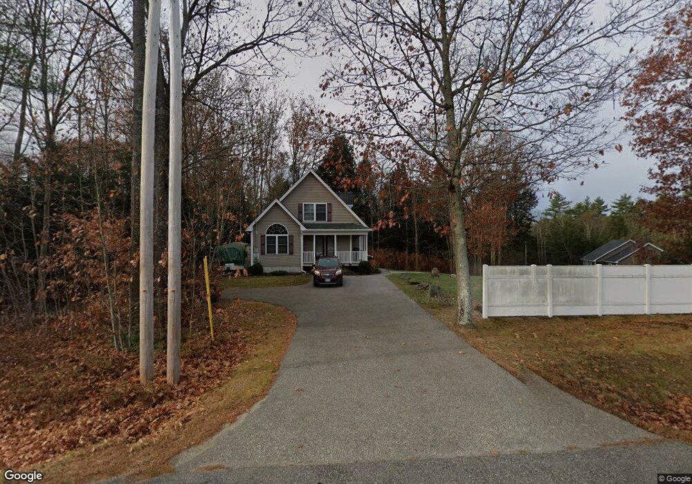
296 Buxton Rd Saco, ME 04072
North Saco NeighborhoodEstimated Value: $496,000 - $564,000
3
Beds
2
Baths
1,456
Sq Ft
$360/Sq Ft
Est. Value
About This Home
This home is located at 296 Buxton Rd, Saco, ME 04072 and is currently estimated at $524,815, approximately $360 per square foot. 296 Buxton Rd is a home located in York County with nearby schools including C K Burns School, Saco Middle School, and Florence Lombard Christian School.
Ownership History
Date
Name
Owned For
Owner Type
Purchase Details
Closed on
Feb 26, 2010
Sold by
Maine Res Nominee Svcs
Bought by
Tatro Michael and Tatro Patrice
Current Estimated Value
Purchase Details
Closed on
Aug 26, 2008
Sold by
Lumb William B
Bought by
Oconnor Joseph J
Home Financials for this Owner
Home Financials are based on the most recent Mortgage that was taken out on this home.
Original Mortgage
$221,523
Interest Rate
6.4%
Mortgage Type
FHA
Create a Home Valuation Report for This Property
The Home Valuation Report is an in-depth analysis detailing your home's value as well as a comparison with similar homes in the area
Home Values in the Area
Average Home Value in this Area
Purchase History
| Date | Buyer | Sale Price | Title Company |
|---|---|---|---|
| Tatro Michael | -- | -- | |
| Oconnor Joseph J | -- | -- |
Source: Public Records
Mortgage History
| Date | Status | Borrower | Loan Amount |
|---|---|---|---|
| Previous Owner | Oconnor Joseph J | $221,523 |
Source: Public Records
Tax History Compared to Growth
Tax History
| Year | Tax Paid | Tax Assessment Tax Assessment Total Assessment is a certain percentage of the fair market value that is determined by local assessors to be the total taxable value of land and additions on the property. | Land | Improvement |
|---|---|---|---|---|
| 2024 | $5,478 | $389,900 | $145,300 | $244,600 |
| 2023 | $5,751 | $389,900 | $145,300 | $244,600 |
| 2022 | $5,121 | $279,400 | $110,700 | $168,700 |
| 2021 | $4,903 | $259,700 | $99,400 | $160,300 |
| 2020 | $4,499 | $228,700 | $87,400 | $141,300 |
| 2019 | $4,432 | $228,700 | $87,400 | $141,300 |
| 2018 | $4,279 | $220,800 | $79,500 | $141,300 |
| 2017 | $4,184 | $215,900 | $72,500 | $143,400 |
| 2016 | $4,230 | $217,800 | $56,200 | $161,600 |
| 2015 | $4,146 | $215,700 | $56,200 | $159,500 |
| 2014 | $4,016 | $215,700 | $56,200 | $159,500 |
| 2013 | $4,008 | $215,700 | $56,200 | $159,500 |
Source: Public Records
Map
Nearby Homes
- 295 Buxton Rd
- 9 Atkinson Ln
- 101 Simpson Rd
- 224 New County Rd
- 20 Spring Rd
- 7 Marguerite Rd
- 110/009 Mast Hill Rd
- 96 Jenkins Rd
- 4 Smutty Ln
- 4 Blueberry Ave
- 9 Burnham Rd
- 58 New County Rd
- 4 June Dr
- 17 Hillview Ave
- lot 7 June Dr
- 16 Samuel Marshall Dr
- Lot 1 & 2 Memory Ln
- 8 Nottingham Dr
- 0 Beech Plains Rd
- 3 Industrial Park Rd
- 292 Buxton Rd
- 298D Buxton Rd
- 298C Buxton Rd
- 0 Cranberry Ln Unit 876526
- 0 Cranberry Ln Unit 876942
- 0 Cranberry Ln Unit 910304
- 291 Buxton Rd
- 277 Buxton Rd
- 287 Buxton Rd
- 290 Buxton Rd
- 298 lotC Buxton Rd
- 298 lotD Buxton Rd
- 285 Buxton Rd
- 1 Sugar Woods Way
- 297 Buxton Rd
- 6 Sugar Woods Way
- 0 Maine 112
- 279 Buxton Rd
- 5 Sugar Woods Way
- 5 Sugar Woods Way