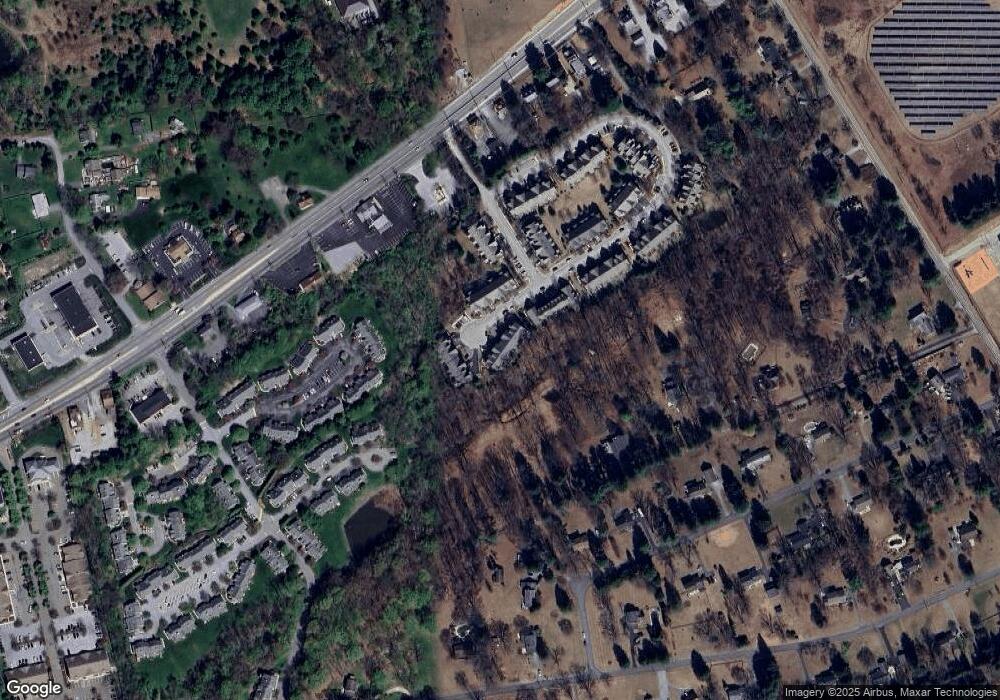
296 Deepdale Dr Kennett Square, PA 19348
East Marlborough Township NeighborhoodEstimated Value: $515,784 - $542,000
3
Beds
3
Baths
2,470
Sq Ft
$217/Sq Ft
Est. Value
About This Home
This home is located at 296 Deepdale Dr, Kennett Square, PA 19348 and is currently estimated at $534,946, approximately $216 per square foot. 296 Deepdale Dr is a home with nearby schools including Kennett Middle School, Kennett High School, and St. Patrick School.
Ownership History
Date
Name
Owned For
Owner Type
Purchase Details
Closed on
Jul 17, 2013
Sold by
Belrose Properties Lp
Bought by
Dubowy Michael and Dubowy Susan M
Current Estimated Value
Home Financials for this Owner
Home Financials are based on the most recent Mortgage that was taken out on this home.
Original Mortgage
$185,000
Outstanding Balance
$134,806
Interest Rate
3.97%
Mortgage Type
New Conventional
Estimated Equity
$400,140
Create a Home Valuation Report for This Property
The Home Valuation Report is an in-depth analysis detailing your home's value as well as a comparison with similar homes in the area
Home Values in the Area
Average Home Value in this Area
Purchase History
| Date | Buyer | Sale Price | Title Company |
|---|---|---|---|
| Dubowy Michael | $342,468 | None Available |
Source: Public Records
Mortgage History
| Date | Status | Borrower | Loan Amount |
|---|---|---|---|
| Open | Dubowy Michael | $185,000 |
Source: Public Records
Tax History
| Year | Tax Paid | Tax Assessment Tax Assessment Total Assessment is a certain percentage of the fair market value that is determined by local assessors to be the total taxable value of land and additions on the property. | Land | Improvement |
|---|---|---|---|---|
| 2025 | $1,343 | $199,390 | $60,120 | $139,270 |
| 2024 | $1,343 | $199,390 | $60,120 | $139,270 |
| 2023 | $1,343 | $199,390 | $60,120 | $139,270 |
| 2022 | $1,117 | $199,390 | $60,120 | $139,270 |
| 2021 | $1,343 | $199,390 | $60,120 | $139,270 |
| 2020 | $1,080 | $199,390 | $60,120 | $139,270 |
| 2019 | $1,306 | $199,390 | $60,120 | $139,270 |
| 2018 | $1,306 | $199,390 | $60,120 | $139,270 |
| 2017 | $1,306 | $199,390 | $60,120 | $139,270 |
| 2016 | -- | $199,390 | $60,120 | $139,270 |
| 2015 | -- | $199,390 | $60,120 | $139,270 |
| 2014 | -- | $199,390 | $60,120 | $139,270 |
Source: Public Records
Map
Nearby Homes
- 962 E Baltimore Pike
- 9 W Jonathan Ct
- 112 Federal Walk
- 123 Federal Walk
- 989 Sills Mill Rd
- 280 Cherry Ln Unit 34
- 470 E Hillendale Rd
- 736 Cascade Way
- 101 Keswick Ct
- 821 Burrows Run Rd
- 211 Daylesford Ct
- 818 Burrows Run Rd
- 135 Waywood Dr
- 10103 Beacon St
- 113 Waywood Dr Unit 32
- 24 Turkey Hollow Rd
- 728 Northbrook Rd
- 10104 Beacon St
- 103 Waywood Dr Unit 36
- 10101 Beacon St
- 298 Deepdale Dr
- 294 Deepdale Dr
- 292 Deepdale Dr
- 290 Deepdale Dr
- 288 Deepdale Dr Unit 23
- 299 Deepdale Dr
- 299 Deepdale Dr Unit 17
- 297 Deepdale Dr Unit 16
- 297 Deepdale Dr
- 295 Deepdale Dr Unit 15
- 295 Deepdale Dr
- 293 Deepdale Dr Unit 14
- 293 Deepdale Dr
- 291 Deepdale Dr
- 291 Deepdale Dr Unit 13
- 289 Deepdale Dr
- 282 Deepdale Dr Unit 24
- 285 Deepdale Dr
- 283 Deepdale Dr
- 281 Deepdale Dr
