296 E 900 S Saint George, UT 84770
Estimated Value: $349,000 - $382,000
3
Beds
2
Baths
1,518
Sq Ft
$245/Sq Ft
Est. Value
About This Home
This home is located at 296 E 900 S, Saint George, UT 84770 and is currently estimated at $372,603, approximately $245 per square foot. 296 E 900 S is a home located in Washington County with nearby schools including Legacy School, Dixie Middle School, and Tonaquint Intermediate School.
Ownership History
Date
Name
Owned For
Owner Type
Purchase Details
Closed on
Feb 27, 2020
Sold by
Mccall Erik and Mccall Victoria
Bought by
Reid Lawrence R and Reid Carol S
Current Estimated Value
Purchase Details
Closed on
Aug 3, 2018
Sold by
Howell Kenneth R and Howell Kimberly M
Bought by
Mccall Victoria and Mccall Erik
Home Financials for this Owner
Home Financials are based on the most recent Mortgage that was taken out on this home.
Original Mortgage
$207,000
Interest Rate
4.5%
Mortgage Type
New Conventional
Purchase Details
Closed on
Jan 25, 2016
Sold by
Howell Kenneth and Howell Kimberly
Bought by
Howell Kenneth R and Howell Kimberly M
Purchase Details
Closed on
May 29, 2014
Sold by
Pace Ruth T and Ashcroft Ruth
Bought by
Howell Kenneth and Howell Kimberly
Home Financials for this Owner
Home Financials are based on the most recent Mortgage that was taken out on this home.
Original Mortgage
$136,000
Interest Rate
4.25%
Mortgage Type
New Conventional
Create a Home Valuation Report for This Property
The Home Valuation Report is an in-depth analysis detailing your home's value as well as a comparison with similar homes in the area
Purchase History
| Date | Buyer | Sale Price | Title Company |
|---|---|---|---|
| Reid Lawrence R | -- | American Secure Ttl St Georg | |
| Mccall Victoria | -- | American Secure Title St Geo | |
| Howell Kenneth R | -- | None Available | |
| Howell Kenneth | -- | Magellan Title |
Source: Public Records
Mortgage History
| Date | Status | Borrower | Loan Amount |
|---|---|---|---|
| Previous Owner | Mccall Victoria | $207,000 | |
| Previous Owner | Howell Kenneth | $136,000 |
Source: Public Records
Tax History
| Year | Tax Paid | Tax Assessment Tax Assessment Total Assessment is a certain percentage of the fair market value that is determined by local assessors to be the total taxable value of land and additions on the property. | Land | Improvement |
|---|---|---|---|---|
| 2025 | $1,413 | $202,675 | $38,500 | $164,175 |
| 2023 | $1,418 | $211,805 | $38,500 | $173,305 |
| 2022 | $1,426 | $200,420 | $33,000 | $167,420 |
| 2021 | $1,278 | $267,800 | $40,000 | $227,800 |
| 2020 | $1,172 | $231,200 | $38,000 | $193,200 |
| 2019 | $2,038 | $216,100 | $38,000 | $178,100 |
| 2018 | $1,056 | $105,160 | $0 | $0 |
| 2017 | $1,099 | $106,260 | $0 | $0 |
| 2016 | $1,093 | $97,735 | $0 | $0 |
| 2015 | $1,816 | $155,700 | $0 | $0 |
| 2014 | $961 | $82,940 | $0 | $0 |
Source: Public Records
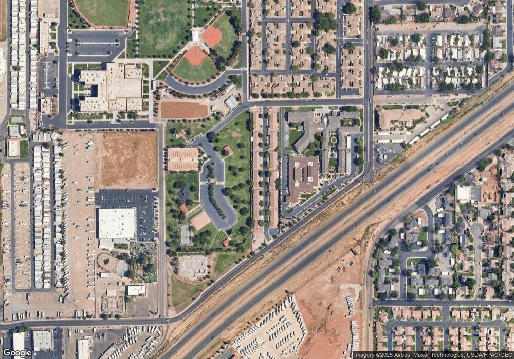
Map
Nearby Homes
- 840 S 400 E Unit 46
- 840 S 400 E Unit 46
- 777 S 400 E Unit 45
- 464 E 700 S
- 1037 S 620 East St
- 670 E 900 S
- 665 S 500 E
- 1050 E S Unit 8
- 701 E 900 S Unit 40
- 701 E 900 S Unit 41
- 701 E 900 S Unit 33
- 524 S 200 E Unit 12
- 161 W 950 S Unit S4
- 161 W 950 S Unit B3
- 250 W 950 S
- 841 E 1010 S
- 800 W Bluff St S
- 465 S Main St Unit 3
- 454 S 100 E Unit 10
- 453 S 100 E Unit 8
- 296 E 900 S
- 296 E 900 S
- 296 E 900 S
- 296 E 900 S Unit 9
- 296 E 900 S Unit 8
- 296 E 900 S Unit 7
- 296 E 900 S Unit 6
- 296 E 900 S Unit 5
- 296 E 900 S Unit 4
- 296 E 900 S Unit 3
- 296 E 900 S Unit 20
- 296 E 900 S Unit 2
- 296 E 900 S Unit 19
- 296 E 900 S Unit 18
- 296 E 900 S Unit 17
- 296 E 900 S Unit 16
- 296 E 900 S Unit 15
- 296 E 900 S Unit 14
- 296 E 900 S Unit 13
- 296 E 900 S Unit 12
Your Personal Tour Guide
Ask me questions while you tour the home.