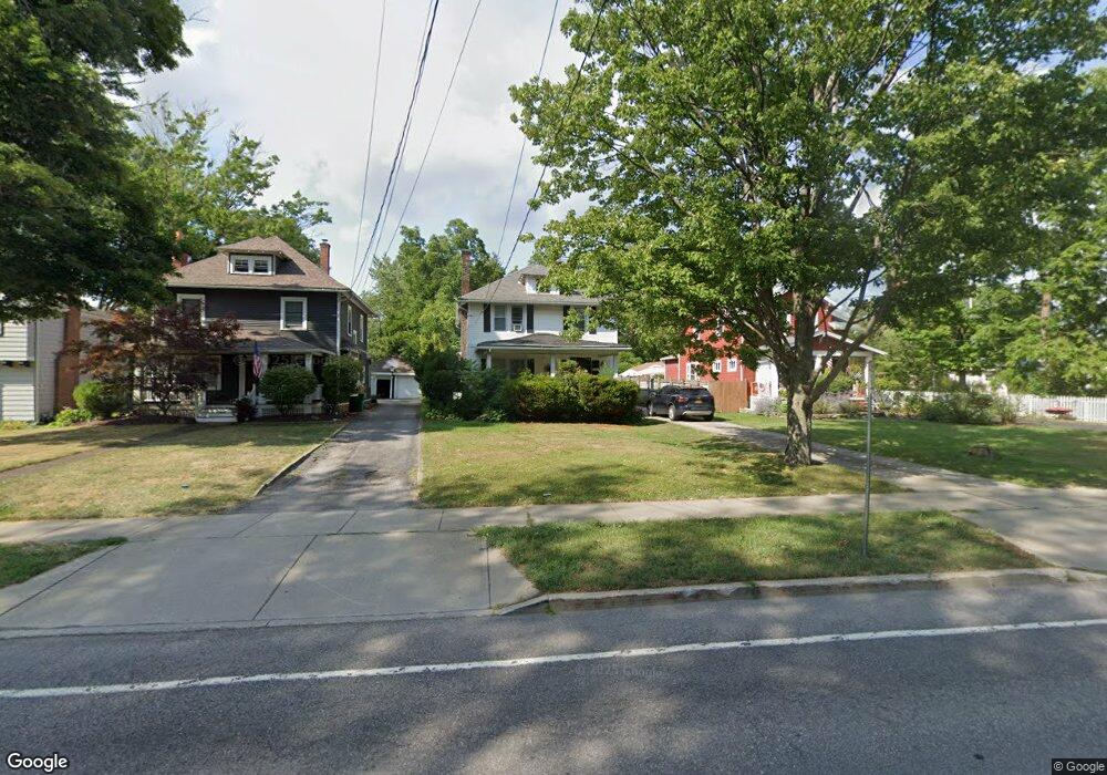
296 E Main St Hamburg, NY 14075
Estimated Value: $337,913 - $424,000
4
Beds
2
Baths
1,792
Sq Ft
$201/Sq Ft
Est. Value
About This Home
This home is located at 296 E Main St, Hamburg, NY 14075 and is currently estimated at $360,478, approximately $201 per square foot. 296 E Main St is a home located in Erie County with nearby schools including Hamburg Middle School, Sts. Peter & Paul Elementary School, and Hamburg Christian Academy.
Ownership History
Date
Name
Owned For
Owner Type
Purchase Details
Closed on
Mar 31, 2011
Sold by
Shaughnessy Frank J and Shaughnessy Barbara A
Bought by
Lipinski Timothy F and Lipinski Jeanmarie
Current Estimated Value
Home Financials for this Owner
Home Financials are based on the most recent Mortgage that was taken out on this home.
Original Mortgage
$131,300
Outstanding Balance
$4,966
Interest Rate
4.5%
Mortgage Type
FHA
Estimated Equity
$355,512
Create a Home Valuation Report for This Property
The Home Valuation Report is an in-depth analysis detailing your home's value as well as a comparison with similar homes in the area
Home Values in the Area
Average Home Value in this Area
Purchase History
| Date | Buyer | Sale Price | Title Company |
|---|---|---|---|
| Lipinski Timothy F | $150,000 | None Available | |
| Lipinski Timothy F | $150,000 | None Available |
Source: Public Records
Mortgage History
| Date | Status | Borrower | Loan Amount |
|---|---|---|---|
| Open | Lipinski Timothy F | $131,300 | |
| Closed | Lipinski Timothy F | $131,300 |
Source: Public Records
Tax History
| Year | Tax Paid | Tax Assessment Tax Assessment Total Assessment is a certain percentage of the fair market value that is determined by local assessors to be the total taxable value of land and additions on the property. | Land | Improvement |
|---|---|---|---|---|
| 2024 | $6,886 | $76,800 | $7,900 | $68,900 |
| 2023 | $6,749 | $76,800 | $7,900 | $68,900 |
| 2022 | $6,480 | $76,800 | $7,900 | $68,900 |
| 2021 | $4,745 | $76,800 | $7,900 | $68,900 |
| 2020 | $5,747 | $76,800 | $7,900 | $68,900 |
| 2019 | $5,275 | $76,800 | $7,900 | $68,900 |
| 2018 | $5,453 | $76,800 | $7,900 | $68,900 |
| 2017 | $5,275 | $76,800 | $7,900 | $68,900 |
| 2016 | $5,312 | $76,800 | $7,900 | $68,900 |
| 2015 | -- | $76,800 | $7,900 | $68,900 |
| 2014 | -- | $76,800 | $7,900 | $68,900 |
Source: Public Records
Map
Nearby Homes
- 264 E Main St
- 43 Robert St
- 28 Robert St
- 6385 Boston State Rd Unit 26
- 6385 Boston State Rd Unit 13
- 301 E Prospect Ave
- 292 E Prospect Ave
- 156 Buffalo St
- 5962 Rosewood W
- 24 Viber Unit 275
- VL Greenfield Pkwy S
- 9 Viber Unit 263
- 4181 Legion Dr
- 205 Maple Ave
- 6117 S Park Ave
- 4165 Norway Place
- 228 Long Ave
- 280 Maple Ave
- 24 Huron St
- 4862 Meadow Ln
Your Personal Tour Guide
Ask me questions while you tour the home.