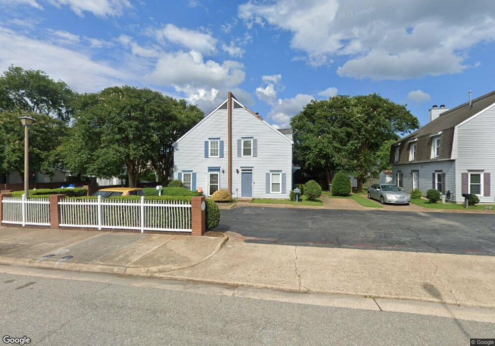
296 Eaton St Hampton, VA 23669
Downtown Hampton NeighborhoodEstimated Value: $197,000 - $233,414
2
Beds
2
Baths
1,340
Sq Ft
$158/Sq Ft
Est. Value
About This Home
This home is located at 296 Eaton St, Hampton, VA 23669 and is currently estimated at $211,854, approximately $158 per square foot. 296 Eaton St is a home located in Hampton City with nearby schools including Capt. John Smith Elementary School, C. Alton Lindsay Middle School, and Phoebus High School.
Ownership History
Date
Name
Owned For
Owner Type
Purchase Details
Closed on
Mar 12, 2018
Sold by
Shalev Ezra and Shalev Nira
Bought by
Shalev Properties Llc
Current Estimated Value
Purchase Details
Closed on
Jan 23, 2017
Sold by
Wells Fargo Bank Na As Trustee For River
Bought by
Shalev Nira and Shalev Ezra
Purchase Details
Closed on
Jun 3, 2016
Sold by
Professional Foreclosure Corporation Of
Bought by
Wells Fargo Bank Na As Trustee and Riverview Mortgage Loan Trust 2007-2
Purchase Details
Closed on
May 2, 2003
Sold by
Hudgins Alexander
Bought by
Rashada Munir
Create a Home Valuation Report for This Property
The Home Valuation Report is an in-depth analysis detailing your home's value as well as a comparison with similar homes in the area
Home Values in the Area
Average Home Value in this Area
Purchase History
We collect this data history from publicly available records. To have your information removed, we recommend requesting removal directly through your county’s website.
| Date | Buyer | Sale Price | Title Company |
|---|---|---|---|
| Shalev Properties Llc | -- | None Listed On Document | |
| Shalev Nira | $70,000 | Home Title Of Virginia Llc | |
| Wells Fargo Bank Na As Trustee | $110,780 | None Available | |
| Rashada Munir | $80,200 | -- |
Source: Public Records
Tax History
| Year | Tax Paid | Tax Assessment Tax Assessment Total Assessment is a certain percentage of the fair market value that is determined by local assessors to be the total taxable value of land and additions on the property. | Land | Improvement |
|---|---|---|---|---|
| 2025 | $2,647 | $218,700 | $45,000 | $173,700 |
| 2024 | $2,138 | $185,900 | $45,000 | $140,900 |
| 2023 | $2,151 | $173,200 | $40,000 | $133,200 |
| 2022 | $1,923 | $163,000 | $35,000 | $128,000 |
| 2021 | $1,640 | $121,800 | $25,000 | $96,800 |
| 2020 | $1,426 | $115,000 | $25,000 | $90,000 |
| 2019 | $1,410 | $113,700 | $25,000 | $88,700 |
| 2018 | $802 | $114,200 | $25,000 | $89,200 |
| 2017 | $1,510 | $0 | $0 | $0 |
| 2016 | $1,510 | $114,200 | $0 | $0 |
| 2015 | $94 | $0 | $0 | $0 |
| 2014 | $1,719 | $119,600 | $29,300 | $90,300 |
Source: Public Records
Map
Nearby Homes
- 294 Eaton St
- 301 Washington St
- 329 Center St
- 418 Wine St
- 421 E Pembroke Ave
- 544 River St
- 311 Cooper St
- 430 Harrison St
- 433 Cooper St
- 720 River St
- 439 Cooper St
- 8 Magnolia Place
- 840 Quash St
- 17 Kempton St
- 226 Island Cove Ct Unit C
- 138 Eberly Terrace
- 845 N King St
- 916 Mason St
- 212 Dockside Dr Unit C
- 16 S Juniper St
Your Personal Tour Guide
Ask me questions while you tour the home.