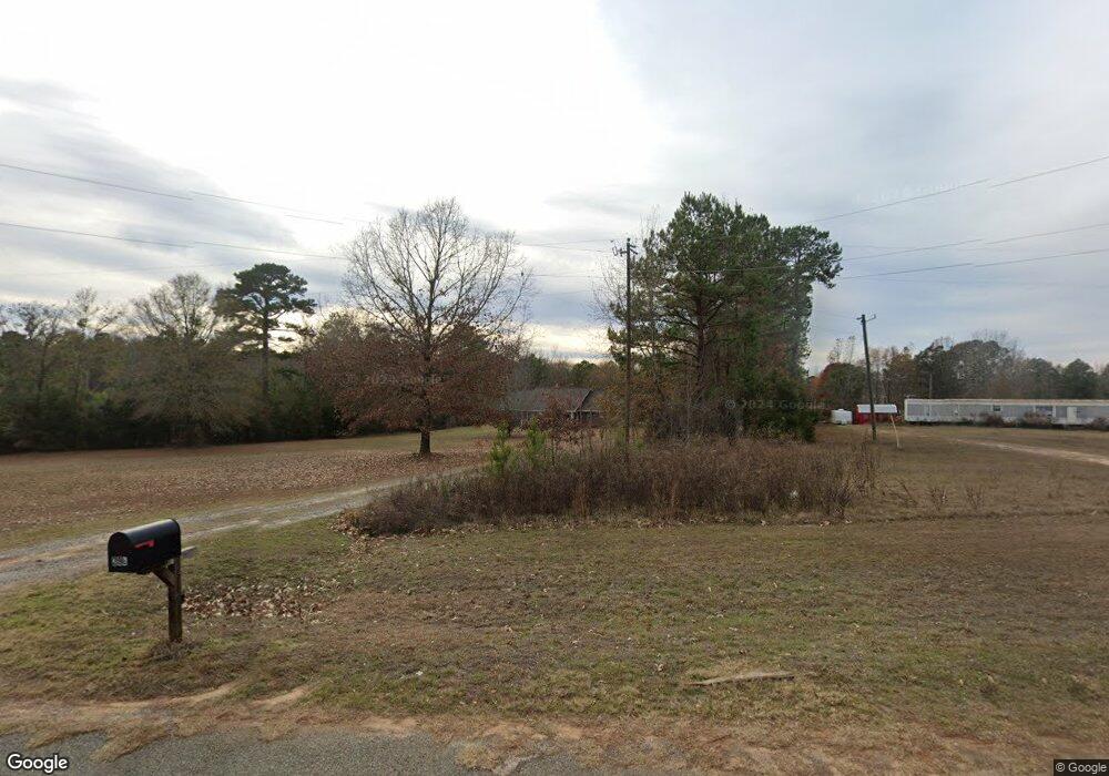
296 Eubanks Rd Simsboro, LA 71275
Estimated Value: $289,000 - $313,000
Studio
1
Bath
2,112
Sq Ft
$142/Sq Ft
Est. Value
About This Home
This home is located at 296 Eubanks Rd, Simsboro, LA 71275 and is currently estimated at $300,538, approximately $142 per square foot. 296 Eubanks Rd is a home located in Lincoln Parish with nearby schools including Simsboro High School.
Create a Home Valuation Report for This Property
The Home Valuation Report is an in-depth analysis detailing your home's value as well as a comparison with similar homes in the area
Tax History
| Year | Tax Paid | Tax Assessment Tax Assessment Total Assessment is a certain percentage of the fair market value that is determined by local assessors to be the total taxable value of land and additions on the property. | Land | Improvement |
|---|---|---|---|---|
| 2025 | $1,880 | $23,984 | $1,988 | $21,996 |
| 2024 | $1,880 | $23,984 | $1,988 | $21,996 |
| 2023 | $1,822 | $22,473 | $1,026 | $21,447 |
| 2022 | $1,685 | $22,473 | $1,026 | $21,447 |
| 2021 | $1,667 | $22,472 | $1,026 | $21,446 |
| 2020 | $1,594 | $21,236 | $1,026 | $20,210 |
| 2019 | $1,669 | $22,438 | $1,026 | $21,412 |
| 2018 | $1,631 | $22,438 | $1,026 | $21,412 |
| 2017 | $1,636 | $22,438 | $1,026 | $21,412 |
| 2016 | $1,640 | $0 | $0 | $0 |
| 2015 | $1,669 | $20,983 | $890 | $20,093 |
| 2013 | $1,698 | $20,983 | $890 | $20,093 |
Source: Public Records
Map
Nearby Homes
- Rich Rd
- 0 Sanford Ln Unit 216201
- 000 Carnation Rd Unit est 55
- 000 Carnation Rd Unit est 27
- 11281 Highway 151
- 430 Par Road 307
- 119 Walnut Creek Rd
- 9459 U S 80
- 259 Storey Rd
- 0 Hazel St
- 0 Hazel St Unit 218238
- 0 Hazel St Unit 2530676
- 0 Louisiana 3074 Unit Tract 1
- 1851 Beech St
- 2114 Laurel St
- 2070 Hazel St
- 2676 Carver St
- 818 Evangeline Dr
- 1646 Sycamore St
- 2184 2nd St
- 276 Eubanks Rd
- 275 Eubanks Rd
- 289 Eubanks Rd
- 316 Eubanks Rd
- 255 Eubanks Rd
- 221 Eubanks Rd
- 333 Eubanks Rd
- 421 Eubanks Rd
- 5701 Highway 544
- 5667 Highway 544
- 401 Eubanks Rd
- 222 Sugar Farm Ln
- 5717 Highway 544
- 120 Eubanks Rd
- 5688 Highway 544
- 5565 Highway 544
- 5801 Highway 544
- 5803 Highway 544
- 5807 Highway 544
- 5815 Highway 544
Your Personal Tour Guide
Ask me questions while you tour the home.