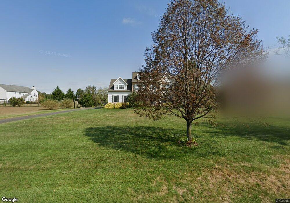
296 Katie Ct Mickleton, NJ 08056
East Greenwich AreaEstimated Value: $752,135 - $813,000
About This Home
This home is located at 296 Katie Ct, Mickleton, NJ 08056 and is currently estimated at $774,534, approximately $228 per square foot. 296 Katie Ct is a home located in Gloucester County with nearby schools including Jeffrey Clark School, Samuel Mickle School, and Kingsway Regional Middle School.
Ownership History
We collect this data history from publicly available records. To have your information removed, we recommend requesting removal directly through your county’s website.
Purchase Details
Purchase Details
Home Financials for this Owner
Home Financials are based on the most recent Mortgage that was taken out on this home.Home Values in the Area
Average Home Value in this Area
Purchase History
We collect this data history from publicly available records. To have your information removed, we recommend requesting removal directly through your county’s website.
| Date | Buyer | Sale Price | Title Company |
|---|---|---|---|
| -- | None Available | ||
| $385,965 | Land America/Commonwealth |
Mortgage History
We collect this data history from publicly available records. To have your information removed, we recommend requesting removal directly through your county’s website.
| Date | Status | Borrower | Loan Amount |
|---|---|---|---|
| Open | $308,800 |
Tax History
We collect this data history from publicly available records. To have your information removed, we recommend requesting removal directly through your county’s website.
| Year | Tax Paid | Tax Assessment Tax Assessment Total Assessment is a certain percentage of the fair market value that is determined by local assessors to be the total taxable value of land and additions on the property. | Land | Improvement |
|---|---|---|---|---|
| 2026 | $13,095 | $410,900 | $87,500 | $323,400 |
| 2025 | $13,095 | $410,900 | $87,500 | $323,400 |
| 2024 | $12,648 | $410,900 | $87,500 | $323,400 |
| 2023 | $12,648 | $410,900 | $87,500 | $323,400 |
| 2022 | $12,290 | $410,900 | $87,500 | $323,400 |
| 2021 | $12,372 | $410,900 | $87,500 | $323,400 |
| 2020 | $12,430 | $410,900 | $87,500 | $323,400 |
| 2019 | $12,302 | $410,900 | $87,500 | $323,400 |
| 2018 | $12,443 | $377,400 | $112,500 | $264,900 |
| 2017 | $12,281 | $377,400 | $112,500 | $264,900 |
| 2016 | $12,137 | $377,400 | $112,500 | $264,900 |
| 2015 | $11,631 | $377,400 | $112,500 | $264,900 |
| 2014 | $10,914 | $372,700 | $112,500 | $260,200 |
Map
- 305 Wolfert Station Rd
- 156 E Wolfert Station Rd
- 728 Farmhouse Rd
- 127 Karen Ct
- 719 Farmhouse Rd
- 242 N Main St
- 226 N Main St
- 223 N Main St
- 105 Cromwell Dr
- 231 N Main St
- 742 Union Rd
- 707 Chelsea Rd
- L13 N Bridgeton Pike
- 1103 Jasmine Ct
- 39 Redkist Dr
- 41 Redkist Dr
- 23 Redkist Dr
- 43 Redkist Dr
- 21 Redkist Dr
- 45 Redkist Dr
- 300 Katie Ct
- 299 Katie Ct
- 118 Sarah Dr
- 116 Sarah Dr
- 301 Katie Ct
- 297 Katie Ct
- 112 Sarah Dr
- 110 Sarah Dr
- 117 Sarah Dr
- 119 Sarah Dr
- 291 Lea Ct
- 108 Sarah Dr
- 0 Barney Hawkins Rd Unit NJGL2028710
- 0 Barney Hawkins Rd Unit CVY1012336315
- 0 Barney Hawkins Rd Unit NJGL2012246
- 288 Jennings Way
- 286 Lea Ct
- 106 Sarah Dr
- 181 Cedar Rd
- 284 Lea Ct
Ask me questions while you tour the home.