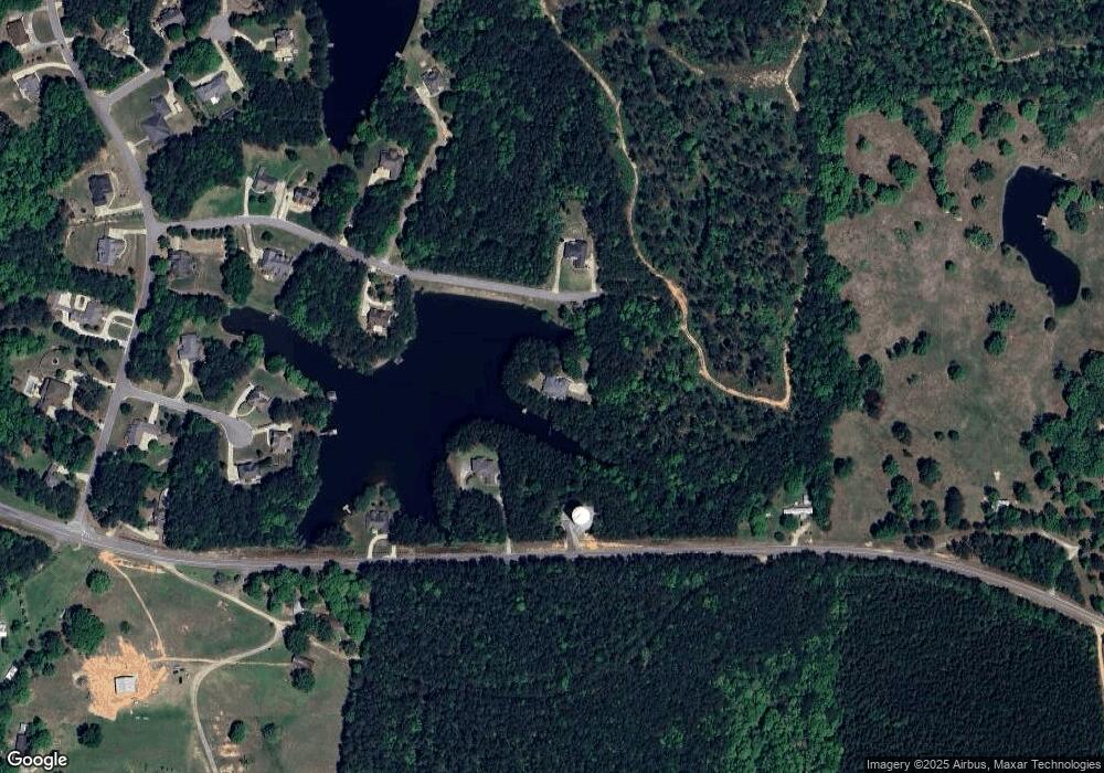
296 Leray Dr Calera, AL 35040
Estimated Value: $485,098 - $629,000
--
Bed
2
Baths
2,261
Sq Ft
$237/Sq Ft
Est. Value
About This Home
This home is located at 296 Leray Dr, Calera, AL 35040 and is currently estimated at $536,275, approximately $237 per square foot. 296 Leray Dr is a home located in Shelby County with nearby schools including Calera Elementary School, Calera Intermediate School, and Calera Middle School.
Ownership History
Date
Name
Owned For
Owner Type
Purchase Details
Closed on
May 24, 2018
Sold by
Herron Mable H and Davis Mable
Bought by
Davis Terry L and Davis Carol M
Current Estimated Value
Home Financials for this Owner
Home Financials are based on the most recent Mortgage that was taken out on this home.
Original Mortgage
$292,000
Outstanding Balance
$251,422
Interest Rate
4.4%
Mortgage Type
New Conventional
Estimated Equity
$284,853
Purchase Details
Closed on
Sep 1, 1999
Sold by
Shelby Springs Stock Farm Inc
Bought by
Herron Billy Joe and Herron Mable H
Create a Home Valuation Report for This Property
The Home Valuation Report is an in-depth analysis detailing your home's value as well as a comparison with similar homes in the area
Home Values in the Area
Average Home Value in this Area
Purchase History
| Date | Buyer | Sale Price | Title Company |
|---|---|---|---|
| Davis Terry L | $365,000 | None Available | |
| Herron Billy Joe | $44,900 | Cahaba Title Inc |
Source: Public Records
Mortgage History
| Date | Status | Borrower | Loan Amount |
|---|---|---|---|
| Open | Davis Terry L | $292,000 |
Source: Public Records
Tax History Compared to Growth
Tax History
| Year | Tax Paid | Tax Assessment Tax Assessment Total Assessment is a certain percentage of the fair market value that is determined by local assessors to be the total taxable value of land and additions on the property. | Land | Improvement |
|---|---|---|---|---|
| 2024 | $2,378 | $44,040 | $0 | $0 |
| 2023 | $1,938 | $41,120 | $0 | $0 |
| 2022 | $1,583 | $33,640 | $0 | $0 |
| 2021 | $1,491 | $31,700 | $0 | $0 |
| 2020 | $1,450 | $30,840 | $0 | $0 |
| 2019 | $0 | $30,860 | $0 | $0 |
| 2017 | $1,296 | $31,240 | $0 | $0 |
| 2015 | $1,414 | $30,080 | $0 | $0 |
| 2014 | $1,208 | $29,380 | $0 | $0 |
Source: Public Records
Map
Nearby Homes
- 201 Leray Dr Unit 123
- 201 Leray Dr
- 00 County Road 42 Unit 141-A & 142
- 185 Shelby Springs Farms
- 151 High Bridle Cir
- 244 High Bridle Cir
- 222 Sweetgum Rd
- 534 Cornerstone Dr
- 562 Cornerstone Dr
- 561 Maple Ridge Ln
- 561 Maple Ridge
- 185 Cornerstone Cir
- 1126 Long Branch Pkwy Unit 160
- 3025 Long Branch Dr
- 15147 Highway 25
- 1053 Long Branch Pkwy
- 3016 Long Branch Dr
- 52 Heritage Pines Way
- 4434 County Road 86 Unit 1
- 355 McMahon Highlands
- 4991 Highway 42 Unit US
- Lot 141 County Road 42 Unit 141
- 299 Leray Dr
- 180 Leray Dr
- 201 Leray Dr Unit 1
- 4933 Highway 42
- 120 Leray Dr
- 160 Stephana Cir
- 5221 County Road 42
- 161 Leray Dr
- 137 Stephana Cir
- 122 Leray Dr
- 133 Leray Dr
- 0 Poplar Loop Unit 2 1304478
- 0 Poplar Loop Unit 2
- 181 Leray Dr
- 136 Stephana Cir
- 119 Leray Dr
- 101 Stephana Cir
- 230 Shelby Springs Farms
