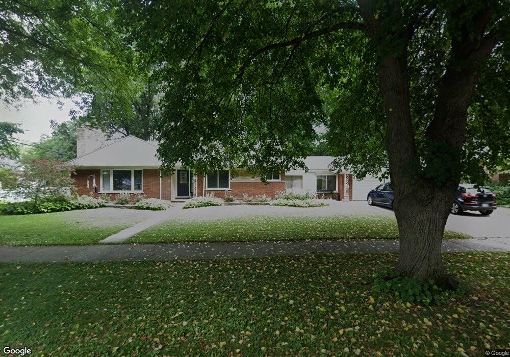
296 Lothrop Rd Grosse Pointe Farms, MI 48236
Estimated Value: $407,853 - $470,000
--
Bed
2
Baths
1,587
Sq Ft
$285/Sq Ft
Est. Value
About This Home
This home is located at 296 Lothrop Rd, Grosse Pointe Farms, MI 48236 and is currently estimated at $452,713, approximately $285 per square foot. 296 Lothrop Rd is a home located in Wayne County with nearby schools including Kerby Elementary School, Brownell Middle School, and Grosse Pointe South High School.
Ownership History
Date
Name
Owned For
Owner Type
Purchase Details
Closed on
Jun 1, 1994
Sold by
Marchand Maryanne
Bought by
Dean F and Schoeder Cheryl L
Current Estimated Value
Home Financials for this Owner
Home Financials are based on the most recent Mortgage that was taken out on this home.
Original Mortgage
$136,800
Interest Rate
8.78%
Mortgage Type
New Conventional
Create a Home Valuation Report for This Property
The Home Valuation Report is an in-depth analysis detailing your home's value as well as a comparison with similar homes in the area
Home Values in the Area
Average Home Value in this Area
Purchase History
| Date | Buyer | Sale Price | Title Company |
|---|---|---|---|
| Dean F | $171,000 | -- |
Source: Public Records
Mortgage History
| Date | Status | Borrower | Loan Amount |
|---|---|---|---|
| Closed | Dean F | $136,800 |
Source: Public Records
Tax History Compared to Growth
Tax History
| Year | Tax Paid | Tax Assessment Tax Assessment Total Assessment is a certain percentage of the fair market value that is determined by local assessors to be the total taxable value of land and additions on the property. | Land | Improvement |
|---|---|---|---|---|
| 2025 | $3,431 | $208,600 | $0 | $0 |
| 2024 | $3,431 | $185,700 | $0 | $0 |
| 2023 | $3,269 | $171,700 | $0 | $0 |
| 2022 | $6,105 | $155,500 | $0 | $0 |
| 2021 | $5,768 | $149,800 | $0 | $0 |
| 2019 | $5,672 | $146,000 | $0 | $0 |
| 2018 | $2,902 | $140,400 | $0 | $0 |
| 2017 | $5,036 | $137,700 | $0 | $0 |
| 2016 | $5,279 | $133,000 | $0 | $0 |
| 2015 | $10,457 | $116,500 | $0 | $0 |
| 2013 | $10,130 | $101,300 | $0 | $0 |
| 2012 | $2,642 | $99,300 | $47,700 | $51,600 |
Source: Public Records
Map
Nearby Homes
- 302 Mount Vernon Ave
- 314 Mount Vernon Ave
- 259 Mount Vernon Ave
- 317 Mount Vernon Ave
- 343 Mount Vernon Ave
- 218 Merriweather Rd
- 380 Merriweather Rd
- 194 Charlevoix Ave
- 341 Mcmillan Rd
- 352 Mckinley Ave
- 216 Ridge Rd
- 276 Lewiston Rd
- 265 Williams Ave
- 415 Lothrop Rd
- 189 Cloverly Rd
- 257 Ridge Rd
- 351 Moselle Place
- 827 Fisher Rd
- 273 Ridge Rd
- 441 Manor St
- 234 Beaupre Ave
- 290 Lothrop Rd
- 295 Lothrop Rd
- 286 Lothrop Rd
- 295 Stephens Rd
- 304 Lothrop Rd
- 291 Stephens Rd
- 233 Beaupre Ave
- 291 Lothrop Rd
- 285 Stephens Rd
- 282 Lothrop Rd
- 303 Lothrop Rd
- 226 Beaupre Ave
- 285 Lothrop Rd
- 303 Stephens Rd
- 281 Stephens Rd
- 312 Lothrop Rd
- 281 Lothrop Rd
- 225 Beaupre Ave
- 278 Lothrop Rd