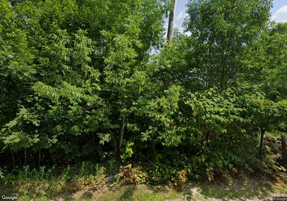
296 Maplewood Rd Parsonsfield, ME 04047
Estimated Value: $226,251 - $307,000
--
Bed
--
Bath
922
Sq Ft
$299/Sq Ft
Est. Value
About This Home
This home is located at 296 Maplewood Rd, Parsonsfield, ME 04047 and is currently estimated at $275,563, approximately $298 per square foot. 296 Maplewood Rd is a home.
Ownership History
Date
Name
Owned For
Owner Type
Purchase Details
Closed on
Nov 25, 2013
Sold by
Garnett Kym W and Garnett Kym W
Bought by
Elliott Sherilyn J
Current Estimated Value
Purchase Details
Closed on
Feb 18, 2009
Sold by
Elliott David O and Elliott Sherilyn J
Bought by
Sherilyn J Elliott Rt
Purchase Details
Closed on
Mar 26, 2007
Sold by
Elliott Sherilyn J
Bought by
Garnett Kym Wayne
Create a Home Valuation Report for This Property
The Home Valuation Report is an in-depth analysis detailing your home's value as well as a comparison with similar homes in the area
Home Values in the Area
Average Home Value in this Area
Purchase History
| Date | Buyer | Sale Price | Title Company |
|---|---|---|---|
| Elliott Sherilyn J | -- | -- | |
| Sherilyn J Elliott Rt | -- | -- | |
| Garnett Kym Wayne | -- | -- | |
| Sherilyn J Elliott Rt | -- | -- | |
| Garnett Kym Wayne | -- | -- |
Source: Public Records
Mortgage History
| Date | Status | Borrower | Loan Amount |
|---|---|---|---|
| Previous Owner | Garnett Kym Wayne | $100,000 |
Source: Public Records
Tax History Compared to Growth
Tax History
| Year | Tax Paid | Tax Assessment Tax Assessment Total Assessment is a certain percentage of the fair market value that is determined by local assessors to be the total taxable value of land and additions on the property. | Land | Improvement |
|---|---|---|---|---|
| 2024 | $2,338 | $139,186 | $60,500 | $78,686 |
| 2023 | $2,255 | $139,186 | $60,500 | $78,686 |
| 2022 | $2,157 | $139,186 | $60,500 | $78,686 |
| 2021 | $2,150 | $139,186 | $60,500 | $78,686 |
| 2020 | $2,109 | $139,186 | $60,500 | $78,686 |
| 2019 | $3,555 | $139,186 | $60,500 | $78,686 |
| 2017 | $2,074 | $139,186 | $60,500 | $78,686 |
| 2016 | $2,074 | $139,186 | $60,500 | $78,686 |
| 2015 | $2,088 | $139,186 | $60,500 | $78,686 |
| 2013 | $1,988 | $136,164 | $60,500 | $75,664 |
Source: Public Records
Map
Nearby Homes
- 511 South Rd
- 570 Maplewood Rd
- Lot 1 Moulton Hill Rd
- 209 Lost Mile Rd
- Lot 4 Emery Rd
- 199 Stagecoach Rd
- Lot#33 Shore Acres Rd
- 424 Maplecrest Rd
- 174 Wakefield Rd
- 27 Wakefield Rd Unit 27
- 11 Penny Ln
- 1533 Province Lake Rd
- 154 Staples Rd
- 00 Libby Rd Unit Lot 9
- 88 Stevens Rd
- 288 Bonnyman Rd
- 106 Stevens Rd Unit 1
- 8 Pennie Ln
- 27 Nocturne Rd
- 11 Symmes Dr
- 273 Maplewood Rd
- 317 Maplewood Rd
- 685 Maplewood Rd
- 331 Maplewood Rd
- 249 Maplewood Rd
- 336 Maplewood Rd
- 0 Stonewood Ln
- 130 Maplewood Rd
- 42 Stonewood Ln
- L21-C Stonewood Ln
- L21 Stonewood
- 7 Stonewood Ln
- 00 Stonewood Ln
- 55 Stonewood Ln
- 201 Maplewood Rd
- 193 Maplewood Rd
- 19 Maplewood Rd
- 72 Stonewood Ln
- 80 Stonewood Ln
- TBD Stonewood Ln
