296 McGahen Hill Rd Waterford, PA 16441
Estimated Value: $288,000 - $354,000
4
Beds
3
Baths
2,352
Sq Ft
$139/Sq Ft
Est. Value
About This Home
This home is located at 296 McGahen Hill Rd, Waterford, PA 16441 and is currently estimated at $327,934, approximately $139 per square foot. 296 McGahen Hill Rd is a home located in Erie County with nearby schools including Fort Leboeuf Middle School and Fort Leboeuf Senior High School.
Ownership History
Date
Name
Owned For
Owner Type
Purchase Details
Closed on
May 26, 2009
Sold by
Dilworth Donald D and Dilworth Christina M
Bought by
Dilworth Donald D and Dilworth Christina M
Current Estimated Value
Home Financials for this Owner
Home Financials are based on the most recent Mortgage that was taken out on this home.
Original Mortgage
$145,000
Interest Rate
4.83%
Mortgage Type
New Conventional
Purchase Details
Closed on
Sep 23, 2003
Sold by
Coffin Brian T
Bought by
Dilworth Donald D and Dilworth Christina M
Home Financials for this Owner
Home Financials are based on the most recent Mortgage that was taken out on this home.
Original Mortgage
$166,000
Interest Rate
6.29%
Mortgage Type
Purchase Money Mortgage
Purchase Details
Closed on
Mar 20, 2000
Sold by
Coffin Brian T and Coffin Stephanie A
Bought by
Coffin Brian T
Purchase Details
Closed on
Dec 7, 1998
Sold by
Coffin Brian T and Coffin Stephanie A
Bought by
Coffin Brian T and Coffin Stephanie A
Create a Home Valuation Report for This Property
The Home Valuation Report is an in-depth analysis detailing your home's value as well as a comparison with similar homes in the area
Home Values in the Area
Average Home Value in this Area
Purchase History
| Date | Buyer | Sale Price | Title Company |
|---|---|---|---|
| Dilworth Donald D | -- | None Available | |
| Dilworth Donald D | $207,500 | -- | |
| Coffin Brian T | -- | -- | |
| Coffin Brian T | -- | -- |
Source: Public Records
Mortgage History
| Date | Status | Borrower | Loan Amount |
|---|---|---|---|
| Closed | Dilworth Donald D | $145,000 | |
| Closed | Dilworth Donald D | $166,000 |
Source: Public Records
Tax History Compared to Growth
Tax History
| Year | Tax Paid | Tax Assessment Tax Assessment Total Assessment is a certain percentage of the fair market value that is determined by local assessors to be the total taxable value of land and additions on the property. | Land | Improvement |
|---|---|---|---|---|
| 2025 | $4,285 | $187,600 | $31,100 | $156,500 |
| 2024 | $4,024 | $187,600 | $31,100 | $156,500 |
| 2023 | $3,902 | $187,600 | $31,100 | $156,500 |
| 2022 | $3,803 | $187,600 | $31,100 | $156,500 |
| 2021 | $3,716 | $187,600 | $31,100 | $156,500 |
| 2020 | $2,520 | $132,200 | $31,100 | $101,100 |
| 2019 | $2,487 | $132,200 | $31,100 | $101,100 |
| 2018 | $2,447 | $132,200 | $31,100 | $101,100 |
| 2017 | $2,385 | $132,200 | $31,100 | $101,100 |
| 2016 | $2,747 | $132,200 | $31,100 | $101,100 |
| 2015 | $2,714 | $132,200 | $31,100 | $101,100 |
| 2014 | $1,356 | $132,200 | $31,100 | $101,100 |
Source: Public Records
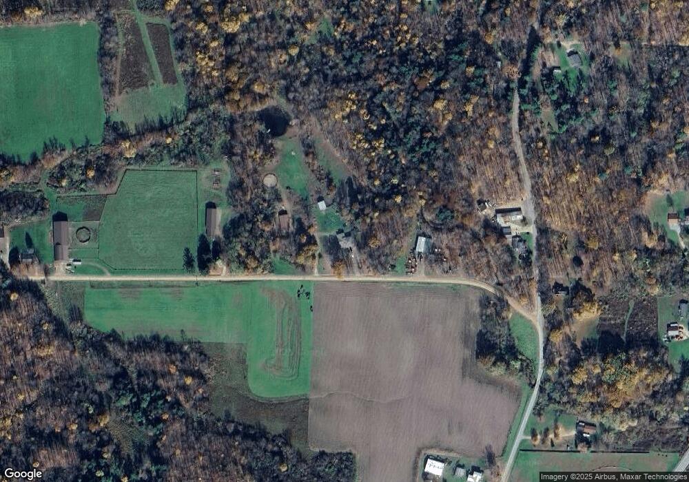
Map
Nearby Homes
- 13672 Route 19
- Tbd Plank Rd
- Tbd 1 Plank Rd Unit LotWP001
- TBD2 Plank Rd
- TBD 1 Plank Rd
- 2363 E Center St
- 34 Lincoln Ave
- 4060 Route 6
- 3920 Stone Quarry Rd
- 162 E 2nd St
- 1381 Kinter Hill Rd
- 0 E 3rd St
- 11226 Route
- 438 Circuit St
- 819 Chestnut St
- 9351 Peach St
- 3590 Draketown Rd
- 525 Benson Rd
- 0 Sharp Rd Unit 185719
- 14300 Mount Pleasant Rd
- 390 McGahen Hill Rd
- 13694 Old Route 19 N
- 13623 Old Route 19 N
- 13667 Old Route 19 N
- 13636 Old Route 19 N
- 13699 Old Route 19 N
- 13703 Old Route 19 N
- 13612 Old Route 19 N
- 13613 Old Route 19 N
- 13774 Old Route 19 N
- 13710 Route 19
- 13704 Route 19
- 13796 Old Route 19 N
- 13575 Old Route 19 N
- 13800 Old Route 19 N
- 13808 Old Route 19 N
- 13707 Route 19
- 13703 Route 19
- 13650 U S 19
- 13687 Route 19