296 McMorrough Rd Dahlonega, GA 30533
Estimated Value: $625,000 - $1,661,000
--
Bed
3
Baths
2,504
Sq Ft
$508/Sq Ft
Est. Value
About This Home
This home is located at 296 McMorrough Rd, Dahlonega, GA 30533 and is currently estimated at $1,270,788, approximately $507 per square foot. 296 McMorrough Rd is a home located in Lumpkin County with nearby schools including Lumpkin County High School.
Ownership History
Date
Name
Owned For
Owner Type
Purchase Details
Closed on
Nov 15, 2022
Sold by
Mannaert Hans
Bought by
Chapman Agency Llc
Current Estimated Value
Home Financials for this Owner
Home Financials are based on the most recent Mortgage that was taken out on this home.
Original Mortgage
$250,000
Interest Rate
6.95%
Mortgage Type
Mortgage Modification
Purchase Details
Closed on
Feb 4, 1999
Sold by
Hans Margaret
Bought by
Hans Mannaert and Lovett Barbara J
Purchase Details
Closed on
Feb 1, 1999
Sold by
Hans Margaret
Bought by
Hans Margaret
Purchase Details
Closed on
Apr 4, 1997
Sold by
Mcmorrough E L
Bought by
Hans Margaret
Purchase Details
Closed on
Jan 1, 1985
Sold by
Mcmorrough E L
Bought by
Mcmorrough E L
Purchase Details
Closed on
Jan 1, 1974
Bought by
Mcmorrough E L
Create a Home Valuation Report for This Property
The Home Valuation Report is an in-depth analysis detailing your home's value as well as a comparison with similar homes in the area
Home Values in the Area
Average Home Value in this Area
Purchase History
| Date | Buyer | Sale Price | Title Company |
|---|---|---|---|
| Chapman Agency Llc | $1,400,000 | -- | |
| Hans Mannaert | -- | -- | |
| Hans Margaret | $1,000 | -- | |
| Hans Margaret | $49,800 | -- | |
| Mcmorrough E L | -- | -- | |
| Mcmorrough E L | -- | -- |
Source: Public Records
Mortgage History
| Date | Status | Borrower | Loan Amount |
|---|---|---|---|
| Closed | Chapman Agency Llc | $250,000 | |
| Open | Chapman Agency Llc | $800,000 |
Source: Public Records
Tax History Compared to Growth
Tax History
| Year | Tax Paid | Tax Assessment Tax Assessment Total Assessment is a certain percentage of the fair market value that is determined by local assessors to be the total taxable value of land and additions on the property. | Land | Improvement |
|---|---|---|---|---|
| 2024 | $3,672 | $308,916 | $157,744 | $151,172 |
| 2023 | $2,978 | $265,331 | $135,986 | $129,345 |
| 2022 | $533 | $233,893 | $159,021 | $74,872 |
| 2021 | $395 | $220,385 | $159,021 | $61,364 |
| 2020 | $373 | $218,548 | $159,021 | $59,527 |
| 2019 | $362 | $218,548 | $159,021 | $59,527 |
| 2018 | $364 | $211,522 | $159,021 | $52,501 |
| 2017 | $356 | $208,303 | $159,021 | $49,282 |
| 2016 | $354 | $201,539 | $159,021 | $42,518 |
| 2015 | $288 | $201,538 | $159,021 | $42,518 |
| 2014 | $288 | $202,038 | $159,021 | $43,017 |
| 2013 | -- | $203,035 | $159,020 | $44,014 |
Source: Public Records
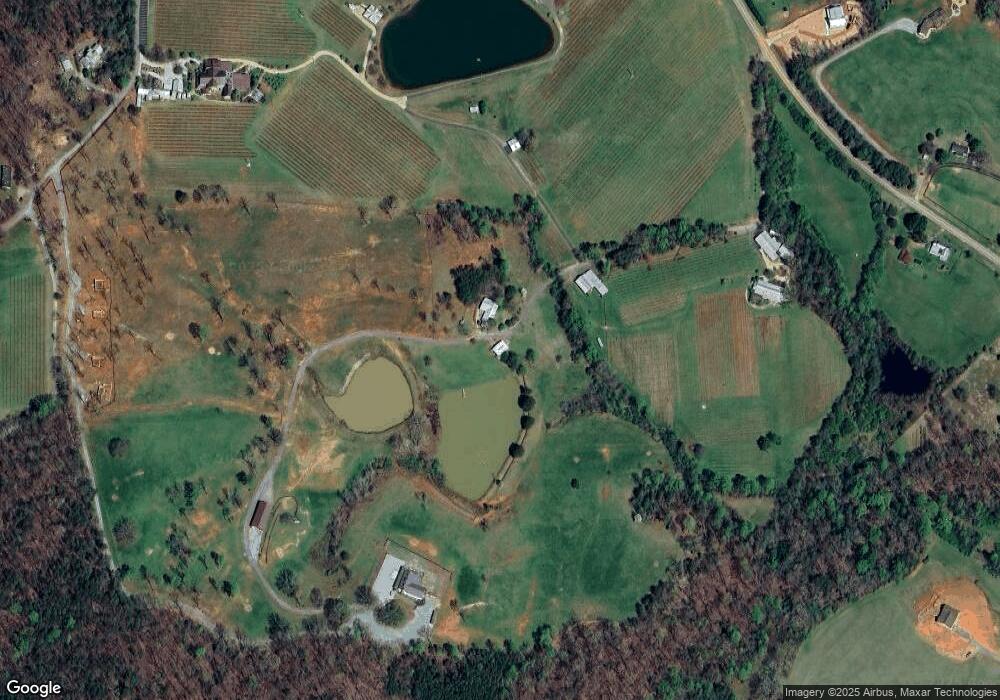
Map
Nearby Homes
- 2717 Damascus Church Rd
- 3145 Town Creek Church Rd
- 529 Eden Cir
- 4936 Town Creek Rd
- 748 Damascus Church Rd
- 412 Fireside Ridge Dr
- 0 Hester Rd Unit 7591226
- 512 Running Deer Rd
- 65 Bear Mountain Trail
- 242 Hooper Rd
- 105 Oak View Trail
- 0 Mill Creek Trail Unit 7652045
- 0 Mill Creek Trail Unit 10608217
- 349 Hester Rd
- 00 Paradise Valley Rd
- 0 Deer Run Trail Unit 10025230
- 133 Elkmont Dr
- 101 Hidden Valley Rd
- 136 Gold Ditch Rd
- 14 Hidden Valley Rd
- 3415 Damascus Church Rd
- 3592 Damascus Church Rd
- 695 Ridge Point Dr
- 45 Cardinal Hill Way
- 601 Ridge Point Dr
- 601 Ridge Point Dr
- 755 Ridge Point Dr
- 3517 Paradise Valley Rd
- 0 Hunt Farm Rd Unit 8460799
- 0 Hunt Farm Rd Unit 8704193
- 0 Hunt Farm Rd
- 3439 Paradise Valley Rd
- 3712 Damascus Church Rd
- 2966 Damascus Church Rd
- 3069 Damascus Church Rd
- 3840 Damascus Church Rd
- 2884 Damascus Church Rd
- 175 Hunt Farm Rd
- 405 Ridge Point Dr
- 2896 Damascus Church Rd