296 Mount Zion East Rd Buchanan, GA 30113
Estimated Value: $273,861 - $372,000
3
Beds
2
Baths
2,046
Sq Ft
$161/Sq Ft
Est. Value
About This Home
This home is located at 296 Mount Zion East Rd, Buchanan, GA 30113 and is currently estimated at $328,465, approximately $160 per square foot. 296 Mount Zion East Rd is a home located in Haralson County with nearby schools including Haralson County High School.
Ownership History
Date
Name
Owned For
Owner Type
Purchase Details
Closed on
Feb 8, 2019
Sold by
Payton Mary Frances
Bought by
Lyle Creg P and Lyle Kelly A
Current Estimated Value
Home Financials for this Owner
Home Financials are based on the most recent Mortgage that was taken out on this home.
Original Mortgage
$139,650
Outstanding Balance
$122,527
Interest Rate
4.4%
Mortgage Type
New Conventional
Estimated Equity
$205,938
Purchase Details
Closed on
May 22, 1979
Bought by
Payton Charles Lee and Payton Mary
Create a Home Valuation Report for This Property
The Home Valuation Report is an in-depth analysis detailing your home's value as well as a comparison with similar homes in the area
Home Values in the Area
Average Home Value in this Area
Purchase History
| Date | Buyer | Sale Price | Title Company |
|---|---|---|---|
| Lyle Creg P | $147,000 | -- | |
| Payton Charles Lee | -- | -- |
Source: Public Records
Mortgage History
| Date | Status | Borrower | Loan Amount |
|---|---|---|---|
| Open | Lyle Creg P | $139,650 |
Source: Public Records
Tax History Compared to Growth
Tax History
| Year | Tax Paid | Tax Assessment Tax Assessment Total Assessment is a certain percentage of the fair market value that is determined by local assessors to be the total taxable value of land and additions on the property. | Land | Improvement |
|---|---|---|---|---|
| 2024 | $1,484 | $57,228 | $2,664 | $54,564 |
| 2023 | $1,699 | $63,374 | $2,214 | $61,160 |
| 2022 | $1,418 | $52,886 | $2,214 | $50,672 |
| 2021 | $1,412 | $50,552 | $2,150 | $48,402 |
| 2020 | $1,402 | $52,247 | $2,150 | $50,097 |
| 2019 | $1,430 | $51,065 | $2,150 | $48,915 |
| 2018 | $1,387 | $48,935 | $2,150 | $46,785 |
| 2017 | $1,311 | $42,300 | $2,150 | $40,150 |
| 2016 | $1,213 | $41,596 | $3,000 | $38,596 |
| 2015 | $1,207 | $41,368 | $3,000 | $38,369 |
| 2014 | $1,193 | $41,545 | $3,000 | $38,545 |
Source: Public Records
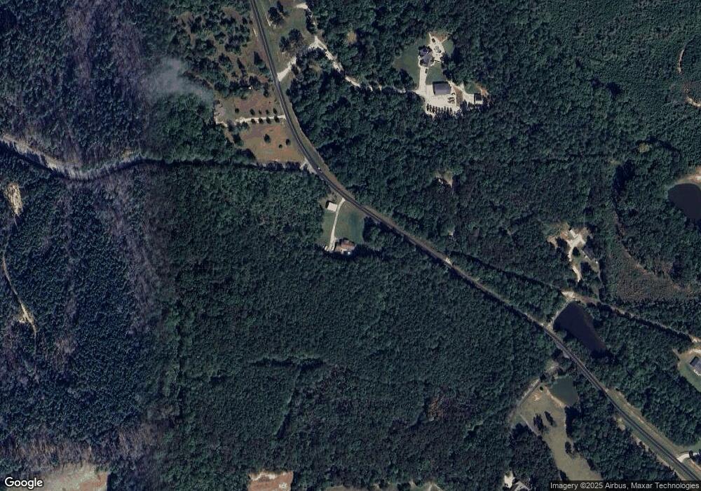
Map
Nearby Homes
- 62 Joe Rowell Rd
- 262 Corinth-Five Points Rd
- 280 Corinth-Five Points Rd
- 0000 Corinth-Five Points Rd
- 046.08 Roy Dean Rd
- 0 Roy Dean Rd Unit 10564383
- 0 Roy Dean Rd Unit 24150079
- 901 Tallapoosa East Church Rd
- 0 Ga Highway 120 - 2 Acres
- 327 Jeffers Rd
- 818 Corinth Five Points Rd
- 388 High Point Rd
- 40 Red Oak Cir
- 71 Friendship Church Rd
- 735 Seabreeze Lake Rd
- 91 Rosemary Way
- 80 Rosemary Way
- 381 Mount Zion East Rd
- 389 Mount Zion East Rd
- 186 Mount Zion East Rd
- 117 Mount Zion East Rd
- 0 Mt Zion E Unit 3216322
- 0 Mt Zion E Unit 7294196
- 0 Mt Zion E Unit 7302660
- 122 Mountain View Rd
- 58 Mountain View Rd
- 462 Mcadams Rd
- 118 Mountain View Rd
- 178 Mountain View Rd
- 1809 Tallapoosa East Church Rd
- 2016 Tallapoosa East Church Rd
- 232 Mountain View Rd
- 258 Mountain View Loop
- 125 Mountain View Rd
- 247 Mountain View Rd
- 00 Mount Zion Rd E
- 1955 Tallapoosa East Church Rd