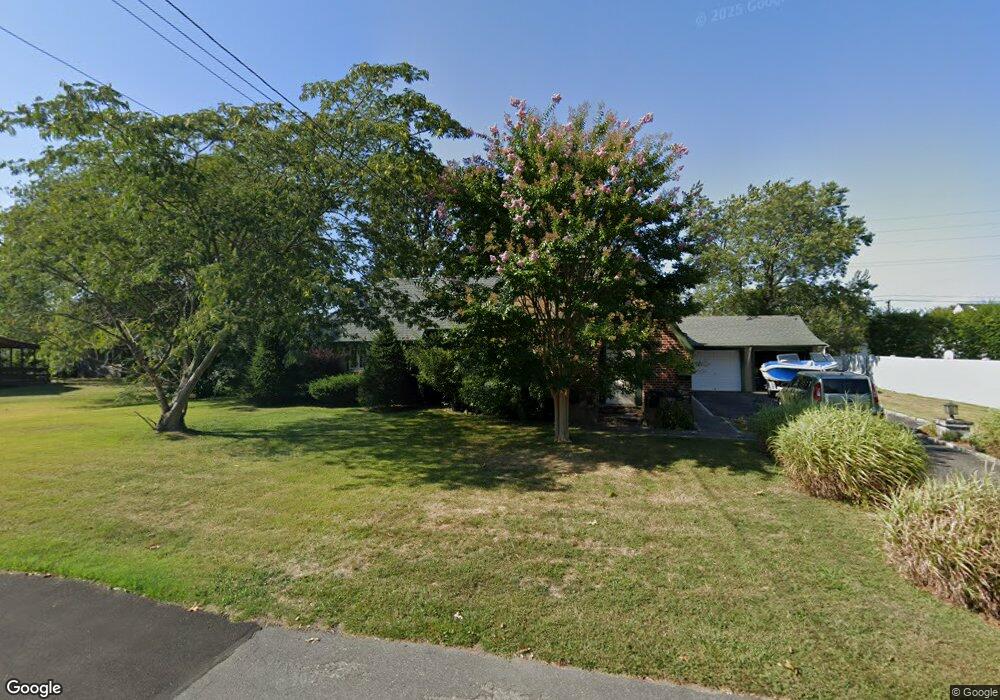
296 Nevada St Lindenhurst, NY 11757
Estimated Value: $538,000 - $727,000
Studio
--
Bath
1,992
Sq Ft
$317/Sq Ft
Est. Value
About This Home
This home is located at 296 Nevada St, Lindenhurst, NY 11757 and is currently estimated at $630,650, approximately $316 per square foot. 296 Nevada St is a home located in Suffolk County with nearby schools including Alleghany Avenue School, Lindenhurst Middle School, and Lindenhurst Senior High School.
Ownership History
Date
Name
Owned For
Owner Type
Purchase Details
Closed on
Nov 12, 2021
Sold by
Clout Michael E
Bought by
Schubert James E
Current Estimated Value
Home Financials for this Owner
Home Financials are based on the most recent Mortgage that was taken out on this home.
Original Mortgage
$360,000
Interest Rate
3.11%
Mortgage Type
Purchase Money Mortgage
Purchase Details
Closed on
Oct 29, 2013
Sold by
Clout Michael Edward and Clout Debra
Bought by
Clout Michael Edward
Purchase Details
Closed on
Oct 1, 1997
Sold by
Clout Edward F and Clout Audrey
Bought by
Clout Michael Edward and Clout Debra
Create a Home Valuation Report for This Property
The Home Valuation Report is an in-depth analysis detailing your home's value as well as a comparison with similar homes in the area
Home Values in the Area
Average Home Value in this Area
Purchase History
| Date | Buyer | Sale Price | Title Company |
|---|---|---|---|
| Schubert James E | $450,000 | None Available | |
| Clout Michael Edward | $33,000 | -- | |
| Clout Michael Edward | -- | First American Title Ins Co |
Source: Public Records
Mortgage History
| Date | Status | Borrower | Loan Amount |
|---|---|---|---|
| Previous Owner | Schubert James E | $360,000 |
Source: Public Records
Tax History
| Year | Tax Paid | Tax Assessment Tax Assessment Total Assessment is a certain percentage of the fair market value that is determined by local assessors to be the total taxable value of land and additions on the property. | Land | Improvement |
|---|---|---|---|---|
| 2024 | $11,488 | $3,050 | $350 | $2,700 |
| 2023 | $10,233 | $3,050 | $350 | $2,700 |
| 2022 | $7,857 | $3,050 | $350 | $2,700 |
| 2021 | $8,518 | $3,050 | $350 | $2,700 |
| 2020 | $8,260 | $3,050 | $350 | $2,700 |
| 2019 | $9,368 | $0 | $0 | $0 |
| 2018 | $7,760 | $3,050 | $350 | $2,700 |
| 2017 | $7,760 | $3,050 | $350 | $2,700 |
| 2016 | $7,802 | $3,050 | $350 | $2,700 |
| 2015 | -- | $3,050 | $350 | $2,700 |
| 2014 | -- | $3,050 | $350 | $2,700 |
Source: Public Records
Map
Nearby Homes
- 261 E Hoffman Ave
- 41 N Kings Ave
- 361 Nevada St
- 136 N Delaware Ave
- 104 E Gates Ave
- 196 S Broome Ave
- 181 S Alleghany Ave
- 233 S Alleghany Ave
- 247 N Greene Ave
- 244 N Erie Ave
- 385 Beacon Ave
- 512 Narragansett Villas Dr
- 604 Narragansett Villas Dr
- 157 N Alleghany Ave
- 816 Narragansett Villas Dr Unit 816
- 149 Byrd St
- 92 E John St
- 323 Grand Ave
- 417 N Monroe Ave
- 64 Nill St
- 304 Nevada St
- 288 Nevada St
- 301 E Hoffman Ave
- 291 E Hoffman Ave
- 287 E Hoffman Ave
- 297 Nevada St
- 303 E Hoffman Ave
- 305 Nevada St
- 312 Nevada St
- 278 Nevada St
- 283 E Hoffman Ave
- 285 Nevada St
- 311 E Hoffman Ave
- 281 E Hoffman Ave
- 297 Ohio St
- 274 Nevada St
- 316 Nevada St
- 277 Nevada St
- 317 E Hoffman Ave
- N Indiana Ave
Your Personal Tour Guide
Ask me questions while you tour the home.