296 Noll Rd Georgetown, PA 15043
Hanover Township NeighborhoodEstimated Value: $588,730 - $627,000
4
Beds
3
Baths
2,928
Sq Ft
$209/Sq Ft
Est. Value
About This Home
This home is located at 296 Noll Rd, Georgetown, PA 15043 and is currently estimated at $610,577, approximately $208 per square foot. 296 Noll Rd is a home located in Beaver County with nearby schools including South Side El School, South Side Middle School, and South Side High School.
Ownership History
Date
Name
Owned For
Owner Type
Purchase Details
Closed on
Jun 3, 2021
Sold by
Krul Charles R and Krul Susan A
Bought by
Aspen Point Llc
Current Estimated Value
Purchase Details
Closed on
Dec 23, 2014
Sold by
Letterman Moore Holdings 2 Lp
Bought by
Lockhart William R
Purchase Details
Closed on
Jan 24, 2014
Sold by
Merrion Oil & Gas Corp
Bought by
Brownsdale Lane Lp
Create a Home Valuation Report for This Property
The Home Valuation Report is an in-depth analysis detailing your home's value as well as a comparison with similar homes in the area
Home Values in the Area
Average Home Value in this Area
Purchase History
| Date | Buyer | Sale Price | Title Company |
|---|---|---|---|
| Aspen Point Llc | $500,000 | None Available | |
| Lockhart William R | $365,000 | None Available | |
| Brownsdale Lane Lp | -- | None Available |
Source: Public Records
Tax History Compared to Growth
Tax History
| Year | Tax Paid | Tax Assessment Tax Assessment Total Assessment is a certain percentage of the fair market value that is determined by local assessors to be the total taxable value of land and additions on the property. | Land | Improvement |
|---|---|---|---|---|
| 2025 | $1,602 | $218,250 | $83,200 | $135,050 |
| 2024 | $6,379 | $218,250 | $83,200 | $135,050 |
| 2023 | $6,743 | $71,050 | $12,200 | $58,850 |
| 2022 | $6,558 | $71,050 | $12,200 | $58,850 |
| 2021 | $6,590 | $71,400 | $12,550 | $58,850 |
| 2020 | $6,401 | $71,400 | $12,550 | $58,850 |
| 2019 | $6,401 | $71,400 | $12,550 | $58,850 |
| 2018 | $6,276 | $71,400 | $12,550 | $58,850 |
| 2017 | $6,276 | $71,400 | $12,550 | $58,850 |
| 2016 | $6,005 | $71,400 | $12,550 | $58,850 |
| 2015 | $1,489 | $71,400 | $12,550 | $58,850 |
| 2014 | $1,489 | $71,400 | $12,550 | $58,850 |
Source: Public Records
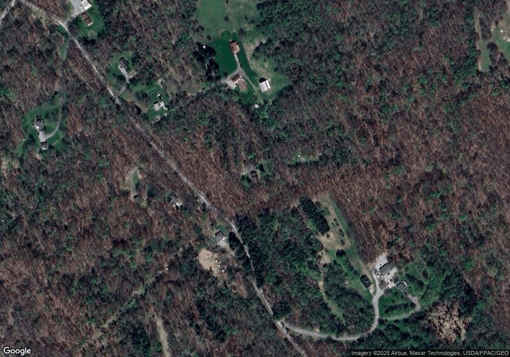
Map
Nearby Homes
- 316 Noll Rd
- 0 Hardin Run Rd
- 134 Kings Creek Rd
- 139 Kit Dr
- 153 Lowes
- 211 Gibson Ave
- 223 Nichol Rd
- 94 Kensington Dr
- TBD Wake Dr
- 0 Wake Dr
- 298 Chapman Rd
- 000 Florence Rd
- 125 Meadowood Dr
- 2463 Frankfort Rd
- 4878 Wylie Ridge Rd
- 93 Canfield Dr
- 3407 Pennsylvania 18
- 98 Whispering Pines Ln
- 0 Swearingen Unit 1682555
- TBD Anderson Ln