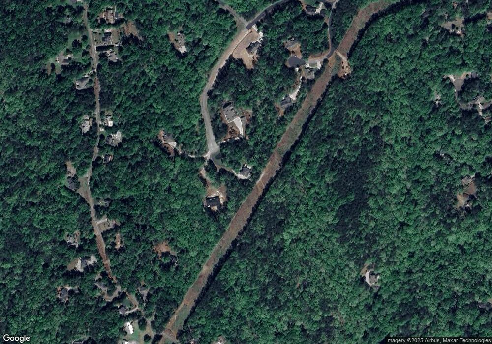
296 Old Stamp Mill Rd Unit 54 Dahlonega, GA 30533
Estimated Value: $783,000 - $970,000
6
Beds
5
Baths
5,070
Sq Ft
$169/Sq Ft
Est. Value
About This Home
This home is located at 296 Old Stamp Mill Rd Unit 54, Dahlonega, GA 30533 and is currently estimated at $855,281, approximately $168 per square foot. 296 Old Stamp Mill Rd Unit 54 is a home located in Lumpkin County with nearby schools including Clay County Middle School and Lumpkin County High School.
Ownership History
Date
Name
Owned For
Owner Type
Purchase Details
Closed on
May 30, 2019
Sold by
Williamson Cynthia
Bought by
Whaley James Lee and Whaley Samantha A
Current Estimated Value
Home Financials for this Owner
Home Financials are based on the most recent Mortgage that was taken out on this home.
Original Mortgage
$320,000
Outstanding Balance
$281,358
Interest Rate
4.1%
Mortgage Type
New Conventional
Estimated Equity
$573,923
Purchase Details
Closed on
Oct 11, 2016
Sold by
Greco Darcy
Bought by
Williamson Cynthia and Williamson Michael Shane
Home Financials for this Owner
Home Financials are based on the most recent Mortgage that was taken out on this home.
Original Mortgage
$336,300
Interest Rate
3.5%
Mortgage Type
New Conventional
Purchase Details
Closed on
Jan 23, 2014
Sold by
Snelling Darcy G
Bought by
Snelling Darcy Greco
Purchase Details
Closed on
May 16, 2006
Sold by
Not Provided
Bought by
Noland Dana H
Create a Home Valuation Report for This Property
The Home Valuation Report is an in-depth analysis detailing your home's value as well as a comparison with similar homes in the area
Home Values in the Area
Average Home Value in this Area
Purchase History
| Date | Buyer | Sale Price | Title Company |
|---|---|---|---|
| Whaley James Lee | $400,000 | -- | |
| Williamson Cynthia | $354,000 | -- | |
| Snelling Darcy Greco | -- | -- | |
| Noland Dana H | -- | -- |
Source: Public Records
Mortgage History
| Date | Status | Borrower | Loan Amount |
|---|---|---|---|
| Open | Whaley James Lee | $320,000 | |
| Previous Owner | Williamson Cynthia | $336,300 |
Source: Public Records
Tax History Compared to Growth
Tax History
| Year | Tax Paid | Tax Assessment Tax Assessment Total Assessment is a certain percentage of the fair market value that is determined by local assessors to be the total taxable value of land and additions on the property. | Land | Improvement |
|---|---|---|---|---|
| 2024 | $6,330 | $228,358 | $18,000 | $210,358 |
| 2023 | $5,677 | $216,652 | $18,000 | $198,652 |
| 2022 | $6,266 | $206,822 | $18,000 | $188,822 |
| 2021 | $5,671 | $175,503 | $14,000 | $161,503 |
| 2020 | $5,366 | $167,822 | $10,000 | $157,822 |
| 2019 | -- | $171,822 | $14,000 | $157,822 |
| 2018 | -- | $150,704 | $14,000 | $136,704 |
| 2017 | $5,241 | $144,915 | $14,000 | $130,915 |
| 2016 | $4,453 | $117,717 | $14,000 | $103,717 |
Source: Public Records
Map
Nearby Homes
- 567 Crown Mountain Way
- 1170 Calhoun Rd
- 99 Madeline Anthony Rd
- 99 Madeline Anthony Road Lots 44 and 45
- Lot 20 Crown Mountain Way
- 0 Crown Mountain Way Unit 7666031
- LOT 13 Crown Mountain Way
- Lot 28 Crown Mountain Way
- Lot 30 Crown Mountain Way
- 1415 Calhoun Rd
- 735 Calhoun Rd
- 490 Golden Ave
- 747 Golden Ave
- 0 Crown Mountain Unit 7682225
- 0 Crown Mountain Unit 10644759
- 934 Golden Ave
- 0 Calhoun Rd Unit 7643314
- 0 Calhoun Rd Unit 10598012
- 00 Calhoun Rd
- 0 Deer Run Unit 10437845
- 296 Old Stamp Mill Rd
- 296 Old Stamp Unit 54
- 296 Old Stamp
- 294 Old Stamp Mill Rd
- 292 Old Stamp Mill Rd
- 293 Old Stamp Mill Rd
- 574 Crown Mountain Way
- 0 Old Stamp Mill Rd Unit LOT 50 7207272
- 0 Old Stamp Mill Rd Unit LOT 61 7207283
- 0 Old Stamp Mill Rd Unit LOT 59 7207282
- 0 Old Stamp Mill Rd Unit LOT 58 7207280
- 0 Old Stamp Mill Rd Unit LOT 49 7207268
- 0 Old Stamp Mill Rd Unit LOT 55 7207275
- 0 Old Stamp Mill Rd Unit LOT 35 7207221
- 0 Old Stamp Mill Rd Unit LOT 34 7207219
- 0 Old Stamp Mill Rd Unit 7628341
- 0 Old Stamp Mill Rd Unit 5239574
- 0 Old Stamp Mill Rd Unit 5239566
- 0 Old Stamp Mill Rd Unit 5239528
- 0 Old Stamp Mill Rd Unit 5239561
