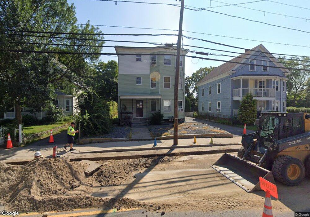
296 S Main St Attleboro, MA 02703
Estimated Value: $659,000 - $827,000
9
Beds
3
Baths
3,342
Sq Ft
$219/Sq Ft
Est. Value
About This Home
This home is located at 296 S Main St, Attleboro, MA 02703 and is currently estimated at $732,333, approximately $219 per square foot. 296 S Main St is a home located in Bristol County with nearby schools including Peter Thacher Elementary School, Wamsutta Middle School, and Attleboro High School.
Ownership History
Date
Name
Owned For
Owner Type
Purchase Details
Closed on
Nov 17, 2015
Sold by
Pavao Fatima M
Bought by
J & F Nt
Current Estimated Value
Purchase Details
Closed on
Mar 10, 2014
Sold by
Pavao Fatima M
Bought by
Pavao Fatima M
Purchase Details
Closed on
Jun 30, 1988
Sold by
Richardson S J
Bought by
Murnane Gregory J
Home Financials for this Owner
Home Financials are based on the most recent Mortgage that was taken out on this home.
Original Mortgage
$186,300
Interest Rate
10.47%
Mortgage Type
Purchase Money Mortgage
Create a Home Valuation Report for This Property
The Home Valuation Report is an in-depth analysis detailing your home's value as well as a comparison with similar homes in the area
Home Values in the Area
Average Home Value in this Area
Purchase History
| Date | Buyer | Sale Price | Title Company |
|---|---|---|---|
| J & F Nt | -- | -- | |
| Pavao Fatima M | -- | -- | |
| Murnane Gregory J | $167,000 | -- |
Source: Public Records
Mortgage History
| Date | Status | Borrower | Loan Amount |
|---|---|---|---|
| Previous Owner | Murnane Gregory J | $119,000 | |
| Previous Owner | Murnane Gregory J | $186,300 |
Source: Public Records
Tax History Compared to Growth
Tax History
| Year | Tax Paid | Tax Assessment Tax Assessment Total Assessment is a certain percentage of the fair market value that is determined by local assessors to be the total taxable value of land and additions on the property. | Land | Improvement |
|---|---|---|---|---|
| 2025 | $6,712 | $534,800 | $117,100 | $417,700 |
| 2024 | $6,499 | $510,500 | $117,100 | $393,400 |
| 2023 | $5,814 | $424,700 | $106,500 | $318,200 |
| 2022 | $5,342 | $369,700 | $101,300 | $268,400 |
| 2021 | $2,618 | $350,000 | $97,500 | $252,500 |
| 2020 | $4,864 | $334,100 | $94,700 | $239,400 |
| 2019 | $2,526 | $325,400 | $92,700 | $232,700 |
| 2018 | $4,250 | $286,800 | $90,100 | $196,700 |
| 2017 | $2,241 | $289,900 | $90,100 | $199,800 |
| 2016 | $3,835 | $258,800 | $84,100 | $174,700 |
| 2015 | $3,622 | $246,200 | $84,100 | $162,100 |
| 2014 | $3,335 | $224,600 | $79,700 | $144,900 |
Source: Public Records
Map
Nearby Homes
- 115 Ellis St
- 248 S Main St
- 3 Grant St
- 63 Orange St
- 97 Dexter St
- 44 Mulberry St
- 75 Grant St
- 62 Garden St Unit 3
- 41 Garden St Unit A
- 9 Parker Ct
- 109 Maple St Unit E3
- 37 School St
- 429 S Main St Unit 1
- 24 Oakland Ave Unit 1
- 22 Oakland Ave Unit 1
- 121 County St
- 0 Tulip Unit 73410552
- 0 Tulip Unit 73407296
- 49 Dennis St
- 17 Jewel Ave
- 296 S Main St Unit 1
- 296 S Main St Unit 3
- 296 S Main St Unit 2
- 298 S Main St
- 298 S Main St Unit 2
- 298 S Main St Unit 3
- 298 S Main St Unit 1
- 291 S Main St
- 291 S Main St Unit A
- 295 S Main St
- 300 S Main St
- 300 S Main St Unit 2 2nd flr
- 299 S Main St
- 297 S Main St
- 293 S Main St
- 10 Ingraham St
- 290 S Main St
- 288 S Main St
- 302 S Main St Unit 2
- 302 S Main St Unit 1