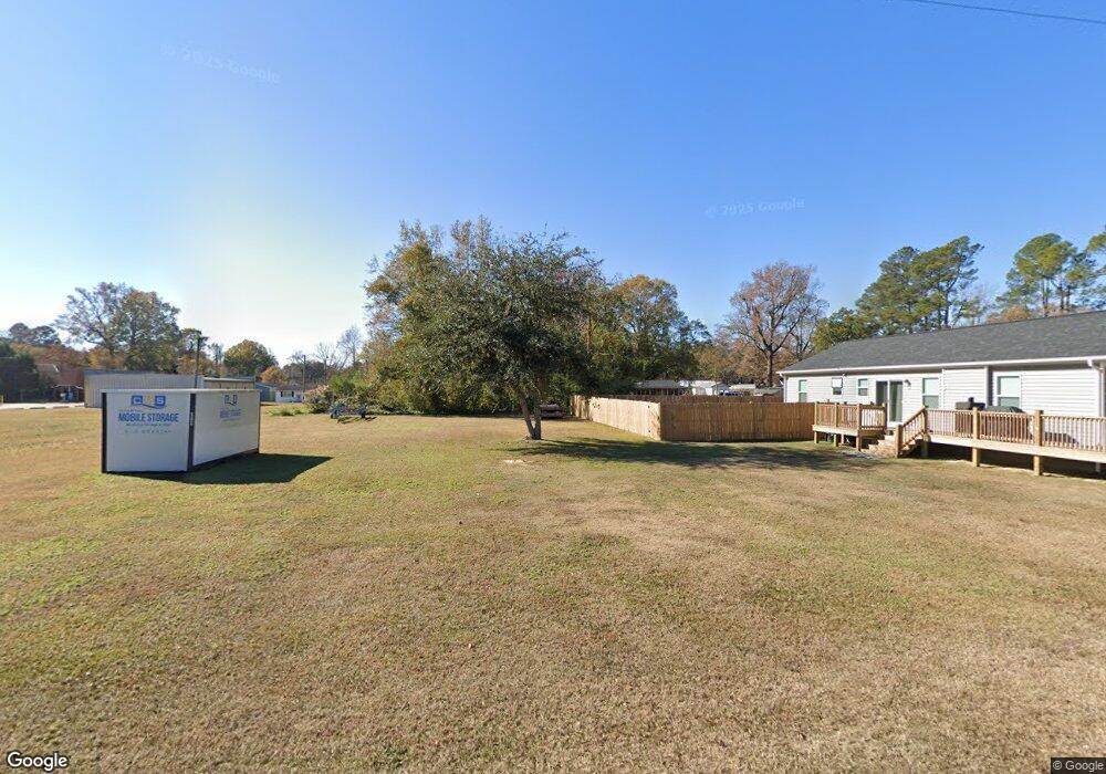
296 Sherman Corner Atkinson, NC 28421
Estimated Value: $147,000
2
Beds
1
Bath
1,026
Sq Ft
$143/Sq Ft
Est. Value
About This Home
This home is located at 296 Sherman Corner, Atkinson, NC 28421 and is currently priced at $147,000, approximately $143 per square foot. 296 Sherman Corner is a home located in Pender County with nearby schools including Malpass Corner Elementary School, West Pender Middle School, and Pender High School.
Ownership History
Date
Name
Owned For
Owner Type
Purchase Details
Closed on
Mar 10, 2009
Sold by
Rivenbark William Russell and Rivenbark Kristina R
Bought by
Sherman Laura A
Current Estimated Value
Create a Home Valuation Report for This Property
The Home Valuation Report is an in-depth analysis detailing your home's value as well as a comparison with similar homes in the area
Home Values in the Area
Average Home Value in this Area
Purchase History
| Date | Buyer | Sale Price | Title Company |
|---|---|---|---|
| Sherman Laura A | -- | -- |
Source: Public Records
Tax History
| Year | Tax Paid | Tax Assessment Tax Assessment Total Assessment is a certain percentage of the fair market value that is determined by local assessors to be the total taxable value of land and additions on the property. | Land | Improvement |
|---|---|---|---|---|
| 2025 | $456 | $209,292 | $66,384 | $142,908 |
| 2024 | $456 | $28,165 | $28,165 | $0 |
| 2023 | $447 | $28,165 | $28,165 | $0 |
| 2022 | $447 | $28,165 | $28,165 | $0 |
| 2021 | $447 | $28,165 | $28,165 | $0 |
| 2020 | $677 | $56,566 | $33,968 | $22,598 |
| 2019 | $532 | $38,656 | $33,968 | $4,688 |
| 2018 | $618 | $46,922 | $32,643 | $14,279 |
| 2017 | $618 | $46,922 | $32,643 | $14,279 |
| 2016 | $613 | $46,922 | $32,643 | $14,279 |
| 2015 | $578 | $46,922 | $32,643 | $14,279 |
| 2014 | $480 | $46,922 | $32,643 | $14,279 |
| 2013 | -- | $46,922 | $32,643 | $14,279 |
| 2012 | -- | $46,922 | $32,643 | $14,279 |
Source: Public Records
Map
Nearby Homes
- 3848 Rooks Rd
- 203 Estate
- 5370 Slocum Trail
- 5350 Slocum Trail
- 1908 Rooks Rd
- 1343 Point Caswell Rd
- 4529 Bell Williams Rd
- 6079 Bell Williams Rd
- 201 W Main St
- 250 Long Bluff Rd
- 0000 Beattys Bridge Rd
- 2636 Brinson Rd
- 6715 Canetuck Rd
- 401 Messer Loop Rd
- 3425 Blueberry Rd
- 0000 Bell Williams Rd
- 35544 N Carolina 210
- 26688 N Carolina 210
- 1618 Nc Highway 11
- 217 Trotters Ln
- 294 Sherman Corner
- 502 Sherman Corner
- 2441 Point Caswell Rd
- 100 Sherman Corner
- 2577 Point Caswell Rd
- 2665 Point Caswell Rd
- 2443 Point Caswell Rd
- 2650 Point Caswell Rd
- 2811 Point Caswell Rd
- 2410 Point Caswell Rd
- 2148 Point Caswell Rd
- 35 Oak Haven Rd
- 2049 Point Caswell Rd
- 121 Oak Haven Rd
- 89 Oak Haven Rd
- 152 Oak Haven Rd
- Lot 4 Oak Haven
- Lots 5,6,7 Oak Haven
- 3211 Slocum Trail
- 3211 Slocum Trail
Your Personal Tour Guide
Ask me questions while you tour the home.