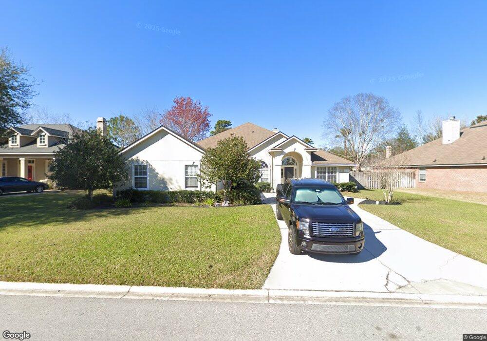
296 Sparrow Branch Cir Saint Johns, FL 32259
Estimated Value: $565,238 - $657,000
5
Beds
4
Baths
3,010
Sq Ft
$209/Sq Ft
Est. Value
About This Home
This home is located at 296 Sparrow Branch Cir, Saint Johns, FL 32259 and is currently estimated at $628,310, approximately $208 per square foot. 296 Sparrow Branch Cir is a home located in St. Johns County with nearby schools including Durbin Creek Elementary School, Fruit Cove Middle School, and Creekside High School.
Ownership History
Date
Name
Owned For
Owner Type
Purchase Details
Closed on
Nov 26, 2003
Sold by
Tousa Homes Inc
Bought by
Agraviador Donn E and Agraviador Dora P
Current Estimated Value
Home Financials for this Owner
Home Financials are based on the most recent Mortgage that was taken out on this home.
Original Mortgage
$227,160
Interest Rate
5.85%
Mortgage Type
Purchase Money Mortgage
Create a Home Valuation Report for This Property
The Home Valuation Report is an in-depth analysis detailing your home's value as well as a comparison with similar homes in the area
Home Values in the Area
Average Home Value in this Area
Purchase History
| Date | Buyer | Sale Price | Title Company |
|---|---|---|---|
| Agraviador Donn E | $284,000 | Universal Land Title Inc |
Source: Public Records
Mortgage History
| Date | Status | Borrower | Loan Amount |
|---|---|---|---|
| Previous Owner | Agraviador Donn E | $227,160 | |
| Closed | Agraviador Donn E | $28,350 |
Source: Public Records
Tax History Compared to Growth
Tax History
| Year | Tax Paid | Tax Assessment Tax Assessment Total Assessment is a certain percentage of the fair market value that is determined by local assessors to be the total taxable value of land and additions on the property. | Land | Improvement |
|---|---|---|---|---|
| 2025 | $4,402 | $299,609 | -- | -- |
| 2024 | $4,402 | $291,165 | -- | -- |
| 2023 | $4,402 | $282,684 | $0 | $0 |
| 2022 | $4,306 | $274,450 | $0 | $0 |
| 2021 | $4,078 | $266,456 | $0 | $0 |
| 2020 | $4,017 | $262,777 | $0 | $0 |
| 2019 | $4,077 | $256,869 | $0 | $0 |
| 2018 | $3,999 | $252,079 | $0 | $0 |
| 2017 | $3,957 | $246,894 | $0 | $0 |
| 2016 | $3,937 | $249,070 | $0 | $0 |
| 2015 | $3,996 | $247,339 | $0 | $0 |
| 2014 | $4,007 | $244,213 | $0 | $0 |
Source: Public Records
Map
Nearby Homes
- 300 Sparrow Branch Cir
- 2708 Caldar Ct
- 527 Pine Haven Dr
- 4340 Rye Ct
- 4505 S Pennycress Place
- 4160 Lonicera Loop
- 252 Pine Haven Dr
- 969 W Tennessee Trace
- 1001 Andrea Way
- 572 Sparrow Branch Cir
- 200 Gladstone Ct
- 200 Huntston Way
- 1925 Barham Ct
- 105 Castlegate Ln
- 648 E Tropical Trace
- 1121 Andrea Way
- 520 Sparrow Branch Cir
- 1821 W Windy Way
- 328 Welbeck Place
- 145 Sugar Sand Ln
- 292 Sparrow Branch Cir
- 4809 Catchfly Ct
- 2601 Pecan Place
- 3620 E Amanda Ct
- 288 Sparrow Branch Cir
- 304 Sparrow Branch Cir
- 4813 Catchfly Ct
- 4805 Catchfly
- 4805 Catchfly
- 4805 Catchfly Ct
- 293 Sparrow Branch Cir
- 293 Sparrow Branch Cirlce
- 3625 E Amanda Ct
- 4805 Catchfly
- 4805 Catchfly
- 289 Sparrow Branch Cir
- 305 Sparrow Branch Cir
- 2605 Pecan Place
- 284 Sparrow Branch Cir
- 3616 E Amanda Ct