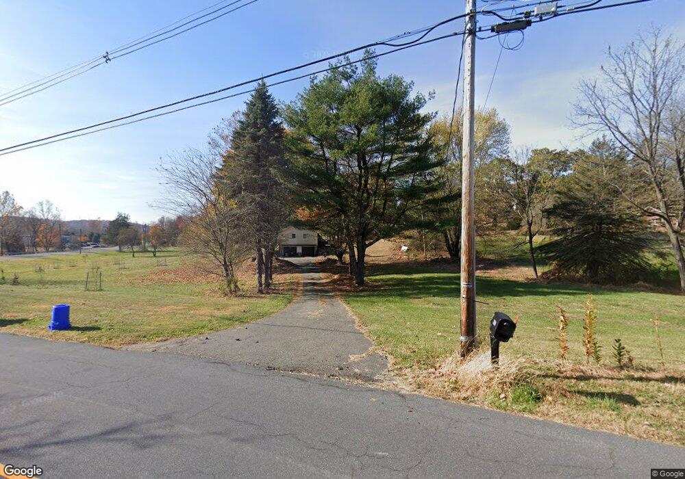
296 State Route 94 Columbia, NJ 07832
Estimated Value: $578,000 - $650,000
--
Bed
--
Bath
2,410
Sq Ft
$254/Sq Ft
Est. Value
About This Home
This home is located at 296 State Route 94, Columbia, NJ 07832 and is currently estimated at $612,924, approximately $254 per square foot. 296 State Route 94 is a home located in Warren County with nearby schools including Blairstown Elementary School, North Warren Regional School, and Blair Academy.
Ownership History
Date
Name
Owned For
Owner Type
Purchase Details
Closed on
May 11, 2006
Sold by
Tierno Maria
Bought by
Bertholf Wayne L and Bertholf Lori A
Current Estimated Value
Home Financials for this Owner
Home Financials are based on the most recent Mortgage that was taken out on this home.
Original Mortgage
$350,250
Outstanding Balance
$208,254
Interest Rate
6.87%
Mortgage Type
Fannie Mae Freddie Mac
Estimated Equity
$404,670
Purchase Details
Closed on
Dec 19, 2002
Sold by
Ferrante Robert J
Bought by
Tierno Maria
Home Financials for this Owner
Home Financials are based on the most recent Mortgage that was taken out on this home.
Original Mortgage
$140,000
Interest Rate
6.16%
Purchase Details
Closed on
Jan 15, 2002
Sold by
Budd Dale
Bought by
Ferrante Robert J
Home Financials for this Owner
Home Financials are based on the most recent Mortgage that was taken out on this home.
Original Mortgage
$50,000
Interest Rate
7.08%
Mortgage Type
Stand Alone First
Purchase Details
Closed on
Apr 26, 1995
Sold by
Muser Dorothy F
Bought by
Vancampen Harold
Create a Home Valuation Report for This Property
The Home Valuation Report is an in-depth analysis detailing your home's value as well as a comparison with similar homes in the area
Home Values in the Area
Average Home Value in this Area
Purchase History
| Date | Buyer | Sale Price | Title Company |
|---|---|---|---|
| Bertholf Wayne L | $467,000 | None Available | |
| Tierno Maria | $349,000 | -- | |
| Ferrante Robert J | $65,000 | -- | |
| Vancampen Harold | $45,000 | -- |
Source: Public Records
Mortgage History
| Date | Status | Borrower | Loan Amount |
|---|---|---|---|
| Open | Bertholf Wayne L | $350,250 | |
| Previous Owner | Tierno Maria | $140,000 | |
| Previous Owner | Ferrante Robert J | $50,000 | |
| Closed | Bertholf Wayne L | $116,750 |
Source: Public Records
Tax History Compared to Growth
Tax History
| Year | Tax Paid | Tax Assessment Tax Assessment Total Assessment is a certain percentage of the fair market value that is determined by local assessors to be the total taxable value of land and additions on the property. | Land | Improvement |
|---|---|---|---|---|
| 2025 | $11,582 | $373,500 | $87,100 | $286,400 |
| 2024 | $10,764 | $373,500 | $87,100 | $286,400 |
| 2023 | $10,163 | $360,000 | $87,100 | $272,900 |
| 2022 | $10,163 | $360,000 | $87,100 | $272,900 |
| 2021 | $9,220 | $360,000 | $87,100 | $272,900 |
| 2020 | $8,899 | $360,000 | $87,100 | $272,900 |
| 2019 | $8,280 | $360,000 | $87,100 | $272,900 |
| 2018 | $8,280 | $360,000 | $87,100 | $272,900 |
| 2017 | $8,309 | $360,000 | $87,100 | $272,900 |
| 2016 | $8,338 | $360,000 | $87,100 | $272,900 |
| 2015 | $8,194 | $360,000 | $87,100 | $272,900 |
| 2014 | $8,035 | $360,000 | $87,100 | $272,900 |
Source: Public Records
Map
Nearby Homes
- 18 W Crisman Rd
- 20 Polkville Rd
- 143 Vail Rd
- 5 Alice Ct
- 60 Vail Rd
- 123 Vail Rd
- 49 Mount Pleasant Rd
- 10 Poppys Ct
- 0 Cedar Lake Rd Unit 3936605
- 148 Vail Rd
- 1 Bridge Rd
- 3 Hoagland Rd
- 69 Mount Pleasant Rd
- 5 N Terrace Rd
- 87 Walnut Valley Rd
- 0 Mount Vernon Rd
- 3 Hickory Ridge Dr
- 00 Walnut Valley Rd
- 6 Mountain Terrace
- 2 Frontage Rd