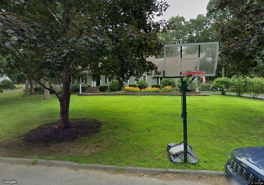
296 Vega Rd Marlborough, MA 01752
Estimated Value: $872,000 - $941,000
4
Beds
3
Baths
2,601
Sq Ft
$344/Sq Ft
Est. Value
About This Home
This home is located at 296 Vega Rd, Marlborough, MA 01752 and is currently estimated at $893,860, approximately $343 per square foot. 296 Vega Rd is a home located in Middlesex County with nearby schools including Marlborough High School, New Covenant Christian School, and Glenhaven Academy - JRI School.
Ownership History
Date
Name
Owned For
Owner Type
Purchase Details
Closed on
Oct 6, 2017
Sold by
Mukhin Denis and Mukhina Irina
Bought by
Rowe James and Cincotta Jill
Current Estimated Value
Home Financials for this Owner
Home Financials are based on the most recent Mortgage that was taken out on this home.
Original Mortgage
$493,200
Outstanding Balance
$412,402
Interest Rate
3.86%
Mortgage Type
New Conventional
Estimated Equity
$481,458
Purchase Details
Closed on
Sep 16, 2009
Sold by
Tarantino Christopher and Tarantino Trisha M
Bought by
Mukhin Denis and Mukhina Irina
Home Financials for this Owner
Home Financials are based on the most recent Mortgage that was taken out on this home.
Original Mortgage
$354,000
Interest Rate
5.28%
Mortgage Type
Purchase Money Mortgage
Purchase Details
Closed on
Aug 20, 2004
Sold by
Keene Marjorie C and Keene Robert S
Bought by
Tarantino Christopher and Tarantino Trisha M
Home Financials for this Owner
Home Financials are based on the most recent Mortgage that was taken out on this home.
Original Mortgage
$400,000
Interest Rate
6.03%
Mortgage Type
Purchase Money Mortgage
Purchase Details
Closed on
Dec 6, 2000
Sold by
Delbrocco Giacinto and Delbrocco Lisa J
Bought by
Keene Robert S and Keene Marjorie C
Home Financials for this Owner
Home Financials are based on the most recent Mortgage that was taken out on this home.
Original Mortgage
$100,000
Interest Rate
7.64%
Mortgage Type
Purchase Money Mortgage
Purchase Details
Closed on
Jan 7, 1992
Sold by
Hardesty Thomas A and Latrell Hardesty C
Bought by
Delbrocco Giacinto and Delbrocco Lisa J
Home Financials for this Owner
Home Financials are based on the most recent Mortgage that was taken out on this home.
Original Mortgage
$175,000
Interest Rate
8.56%
Mortgage Type
Purchase Money Mortgage
Purchase Details
Closed on
Aug 4, 1989
Sold by
Dolan William F
Bought by
Hardesty Thomas A
Home Financials for this Owner
Home Financials are based on the most recent Mortgage that was taken out on this home.
Original Mortgage
$218,400
Interest Rate
10%
Mortgage Type
Purchase Money Mortgage
Create a Home Valuation Report for This Property
The Home Valuation Report is an in-depth analysis detailing your home's value as well as a comparison with similar homes in the area
Home Values in the Area
Average Home Value in this Area
Purchase History
| Date | Buyer | Sale Price | Title Company |
|---|---|---|---|
| Rowe James | $548,000 | -- | |
| Mukhin Denis | $442,500 | -- | |
| Tarantino Christopher | $515,000 | -- | |
| Keene Robert S | $385,000 | -- | |
| Delbrocco Giacinto | $245,000 | -- | |
| Hardesty Thomas A | $273,000 | -- |
Source: Public Records
Mortgage History
| Date | Status | Borrower | Loan Amount |
|---|---|---|---|
| Open | Rowe James | $493,200 | |
| Previous Owner | Mukhin Denis | $354,000 | |
| Previous Owner | Tarantino Christopher | $400,000 | |
| Previous Owner | Hardesty Thomas A | $100,000 | |
| Previous Owner | Hardesty Thomas A | $175,000 | |
| Previous Owner | Hardesty Thomas A | $218,400 |
Source: Public Records
Tax History Compared to Growth
Tax History
| Year | Tax Paid | Tax Assessment Tax Assessment Total Assessment is a certain percentage of the fair market value that is determined by local assessors to be the total taxable value of land and additions on the property. | Land | Improvement |
|---|---|---|---|---|
| 2025 | $7,793 | $790,400 | $250,200 | $540,200 |
| 2024 | $7,520 | $734,400 | $227,300 | $507,100 |
| 2023 | $7,304 | $632,900 | $187,300 | $445,600 |
| 2022 | $6,870 | $523,600 | $178,600 | $345,000 |
| 2021 | $7,034 | $509,700 | $149,000 | $360,700 |
| 2020 | $6,907 | $487,100 | $142,000 | $345,100 |
| 2019 | $13,380 | $473,400 | $139,400 | $334,000 |
| 2018 | $6,652 | $459,700 | $128,500 | $331,200 |
| 2017 | $6,948 | $453,500 | $130,700 | $322,800 |
| 2016 | $7,024 | $457,900 | $130,700 | $327,200 |
| 2015 | $6,733 | $427,200 | $140,900 | $286,300 |
Source: Public Records
Map
Nearby Homes
- 17 Mcneil Cir
- 38 Collins Dr
- 492 Stow Rd
- 274 Naugler Ave
- 168 Blanchette Dr
- 137 Naugler Ave
- 33A Russo Dr
- 256 Robert Rd
- 114 Linda Cir
- 618 Sudbury St
- 323 Robert Rd
- 551 Sudbury St
- 75 Kings View Rd
- 3 Stonehill Rd
- 51 Murphy Rd
- 38 Airport Blvd
- 34 Muir Way
- 45 Raffaele Rd
- 28 Stetson Dr
- 688 Boston Post Rd E Unit 202