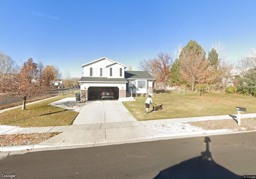
296 W 740 N American Fork, UT 84003
Estimated Value: $511,000 - $603,000
3
Beds
2
Baths
2,168
Sq Ft
$259/Sq Ft
Est. Value
About This Home
This home is located at 296 W 740 N, American Fork, UT 84003 and is currently estimated at $560,597, approximately $258 per square foot. 296 W 740 N is a home located in Utah County with nearby schools including Shelley Elementary School, American Fork Junior High School, and American Fork High School.
Ownership History
Date
Name
Owned For
Owner Type
Purchase Details
Closed on
Sep 30, 2020
Sold by
Banner Davidson J and Banner Stefanie
Bought by
Walton Trey Thomas and Walton Mckenzie
Current Estimated Value
Home Financials for this Owner
Home Financials are based on the most recent Mortgage that was taken out on this home.
Original Mortgage
$354,050
Outstanding Balance
$314,909
Interest Rate
2.9%
Mortgage Type
New Conventional
Estimated Equity
$245,688
Purchase Details
Closed on
Feb 7, 2003
Sold by
Burnham Rafer and Burnham Maria
Bought by
Banner Davidson J and Banner Stefanie
Purchase Details
Closed on
Oct 15, 1998
Sold by
Welch Jonathan J and Welch Diane B
Bought by
Burnham Rafer and Burnham Maria
Home Financials for this Owner
Home Financials are based on the most recent Mortgage that was taken out on this home.
Original Mortgage
$128,400
Interest Rate
6.79%
Create a Home Valuation Report for This Property
The Home Valuation Report is an in-depth analysis detailing your home's value as well as a comparison with similar homes in the area
Home Values in the Area
Average Home Value in this Area
Purchase History
| Date | Buyer | Sale Price | Title Company |
|---|---|---|---|
| Walton Trey Thomas | -- | Union Title | |
| Banner Davidson J | -- | Affiliated First Title | |
| Burnham Rafer | -- | -- |
Source: Public Records
Mortgage History
| Date | Status | Borrower | Loan Amount |
|---|---|---|---|
| Open | Walton Trey Thomas | $354,050 | |
| Previous Owner | Burnham Rafer | $128,400 |
Source: Public Records
Tax History Compared to Growth
Tax History
| Year | Tax Paid | Tax Assessment Tax Assessment Total Assessment is a certain percentage of the fair market value that is determined by local assessors to be the total taxable value of land and additions on the property. | Land | Improvement |
|---|---|---|---|---|
| 2025 | $2,308 | $273,845 | $224,500 | $273,400 |
| 2024 | $2,308 | $256,465 | $0 | $0 |
| 2023 | $2,197 | $258,775 | $0 | $0 |
| 2022 | $2,339 | $271,865 | $0 | $0 |
| 2021 | $2,000 | $363,200 | $161,100 | $202,100 |
| 2020 | $1,869 | $329,200 | $143,800 | $185,400 |
| 2019 | $1,691 | $308,000 | $133,000 | $175,000 |
| 2018 | $1,596 | $278,000 | $125,800 | $152,200 |
| 2017 | $1,517 | $142,615 | $0 | $0 |
| 2016 | $1,447 | $126,335 | $0 | $0 |
| 2015 | $1,388 | $115,005 | $0 | $0 |
| 2014 | $1,376 | $112,475 | $0 | $0 |
Source: Public Records
Map
Nearby Homes
- 782 N 200 W
- 796 N 200 W
- 621 N 100 W
- 914 N 400 W Unit A
- 540 N 300 W
- 641 N 420 W
- 3889 W 950 Cir N Unit 366
- 984 N 300 W
- 987 N 410 W
- 10238 N 6530 W Unit 15
- 1051 N 390 E Unit 103
- 6079 W Whisper Ln Unit 404
- 1220 E 700 N
- 1039 N 390 E Unit 102
- 11338 N Annes Way Unit 8
- 6111 W Whisper Ln Unit 402
- 183 E 760 St N
- 471 W 1040 N
- 602 W 860 N
- 846 N 60 E