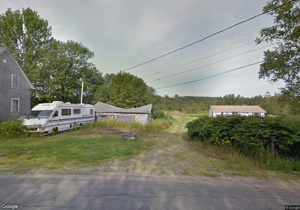
296 W Alna Rd Wiscasset, ME 04578
Estimated Value: $206,000 - $402,000
--
Bed
--
Bath
1,463
Sq Ft
$209/Sq Ft
Est. Value
About This Home
This home is located at 296 W Alna Rd, Wiscasset, ME 04578 and is currently estimated at $306,381, approximately $209 per square foot. 296 W Alna Rd is a home with nearby schools including Sheepscot Valley Children's House.
Ownership History
Date
Name
Owned For
Owner Type
Purchase Details
Closed on
Jul 26, 2019
Sold by
Spillane Michael A and Spillaine Lisa M
Bought by
Grindle Anthony C
Current Estimated Value
Home Financials for this Owner
Home Financials are based on the most recent Mortgage that was taken out on this home.
Original Mortgage
$16,000
Outstanding Balance
$13,987
Interest Rate
3.82%
Mortgage Type
New Conventional
Estimated Equity
$292,394
Create a Home Valuation Report for This Property
The Home Valuation Report is an in-depth analysis detailing your home's value as well as a comparison with similar homes in the area
Home Values in the Area
Average Home Value in this Area
Purchase History
| Date | Buyer | Sale Price | Title Company |
|---|---|---|---|
| Grindle Anthony C | -- | -- | |
| Grindle Anthony C | -- | -- | |
| Spillane Lisa M | -- | -- | |
| Spillane Lisa M | -- | -- |
Source: Public Records
Mortgage History
| Date | Status | Borrower | Loan Amount |
|---|---|---|---|
| Open | Grindle Anthony C | $16,000 | |
| Closed | Grindle Anthony C | $16,000 |
Source: Public Records
Tax History Compared to Growth
Tax History
| Year | Tax Paid | Tax Assessment Tax Assessment Total Assessment is a certain percentage of the fair market value that is determined by local assessors to be the total taxable value of land and additions on the property. | Land | Improvement |
|---|---|---|---|---|
| 2024 | $1,624 | $91,400 | $48,200 | $43,200 |
| 2023 | $1,558 | $91,400 | $48,200 | $43,200 |
| 2022 | $1,466 | $73,000 | $38,500 | $34,500 |
| 2021 | $1,469 | $73,000 | $38,500 | $34,500 |
| 2020 | $1,469 | $73,000 | $38,500 | $34,500 |
| 2019 | $816 | $41,000 | $38,500 | $2,500 |
| 2018 | $802 | $41,000 | $38,500 | $2,500 |
| 2017 | $769 | $41,000 | $38,500 | $2,500 |
| 2016 | $767 | $41,000 | $38,500 | $2,500 |
| 2015 | $672 | $41,000 | $38,500 | $2,500 |
| 2014 | $697 | $41,000 | $38,500 | $2,500 |
| 2013 | $664 | $41,000 | $38,500 | $2,500 |
Source: Public Records
Map
Nearby Homes
- R05-58A W Alna Rd
- 8 Foye Rd
- 10 Foye Rd
- 105 Old Sheepscot Rd
- Lot # 0 Deer Ridge Rd
- 583 W Alna Rd
- 977 Alna Rd
- 611 W Alna Rd
- Lot 9 Foye Rd
- 3 Langdon Rd
- Lot 11 Spruce Knoll Rd
- 22 Sand Hill Rd
- 467 Lowelltown Rd
- 12 Micmac Dr
- 18 Churchill St
- Lot 15&40 Gibbs Rd
- 18 High St
- 200 Main St
- Lot#4 Bay View Trail
- 83 Bath Rd