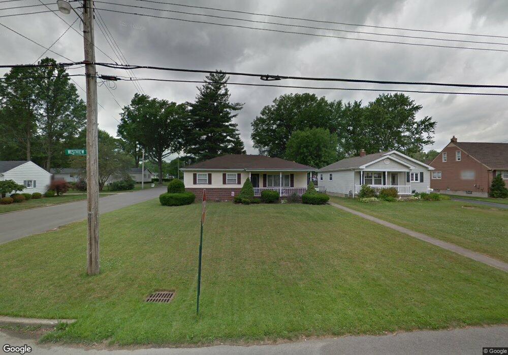
296 Westview Ave Hubbard, OH 44425
Estimated Value: $133,000 - $149,810
3
Beds
1
Bath
1,176
Sq Ft
$122/Sq Ft
Est. Value
About This Home
This home is located at 296 Westview Ave, Hubbard, OH 44425 and is currently estimated at $142,953, approximately $121 per square foot. 296 Westview Ave is a home located in Trumbull County with nearby schools including Hubbard Elementary School, Hubbard Middle School, and Hubbard High School.
Ownership History
Date
Name
Owned For
Owner Type
Purchase Details
Closed on
Nov 6, 1998
Sold by
Muzuruk Louise A and Muzuruk Richard
Bought by
Wright Jeffrey A and Wright Sheryl
Current Estimated Value
Home Financials for this Owner
Home Financials are based on the most recent Mortgage that was taken out on this home.
Original Mortgage
$64,875
Outstanding Balance
$14,323
Interest Rate
6.72%
Estimated Equity
$128,630
Purchase Details
Closed on
Jan 1, 1990
Bought by
James James R and James S
Create a Home Valuation Report for This Property
The Home Valuation Report is an in-depth analysis detailing your home's value as well as a comparison with similar homes in the area
Home Values in the Area
Average Home Value in this Area
Purchase History
| Date | Buyer | Sale Price | Title Company |
|---|---|---|---|
| Wright Jeffrey A | $86,500 | -- | |
| James James R | -- | -- |
Source: Public Records
Mortgage History
| Date | Status | Borrower | Loan Amount |
|---|---|---|---|
| Open | Wright Jeffrey A | $64,875 |
Source: Public Records
Tax History Compared to Growth
Tax History
| Year | Tax Paid | Tax Assessment Tax Assessment Total Assessment is a certain percentage of the fair market value that is determined by local assessors to be the total taxable value of land and additions on the property. | Land | Improvement |
|---|---|---|---|---|
| 2024 | $2,254 | $43,970 | $5,850 | $38,120 |
| 2023 | $2,147 | $43,970 | $5,850 | $38,120 |
| 2022 | $1,661 | $31,020 | $4,660 | $26,360 |
| 2021 | $1,669 | $31,020 | $4,660 | $26,360 |
| 2020 | $1,677 | $31,020 | $4,660 | $26,360 |
| 2019 | $1,522 | $26,990 | $4,660 | $22,330 |
| 2018 | $1,517 | $26,990 | $4,660 | $22,330 |
| 2017 | $1,513 | $26,990 | $4,660 | $22,330 |
| 2016 | $1,459 | $27,690 | $5,250 | $22,440 |
| 2015 | $1,465 | $27,690 | $5,250 | $22,440 |
| 2014 | $1,431 | $27,690 | $5,250 | $22,440 |
| 2013 | $1,429 | $27,690 | $5,250 | $22,440 |
Source: Public Records
Map
Nearby Homes
- 366 Westview Ave
- 6287 Youngstown Hubbard Rd
- 652 Meadowland Dr
- 124 Rebecca Ave
- 3234 Bell Wick Rd
- 323 W Liberty St
- 160 Hager St
- 191 Maple Leaf Dr
- 203 Hager St
- 3687 Franklin Ave
- 110 School St
- 312 W Park Ave
- V/L Jacobs Rd
- 5843 Fairlawn Ave
- 6982 Mcclure Rd
- 2824 Benford Ln
- 2831 Benford Ln
- 138 Moore St
- 2954 Megan Cir
- 3244 Nelson Ave
- 288 Westview Ave
- 282 Westview Ave
- 304 Westview Ave
- 297 Jacobs Rd
- 274 Westview Ave
- 289 Jacobs Rd
- 312 Westview Ave
- 283 Jacobs Rd
- 305 Jacobs Rd
- 268 Westview Ave
- 297 Westview Ave
- 289 Westview Ave
- 275 Jacobs Rd
- 283 Westview Ave
- 301 Westview Ave
- 322 Westview Ave
- 313 Jacobs Rd
- 269 Jacobs Rd
- 262 Westview Ave
- 275 Westview Ave