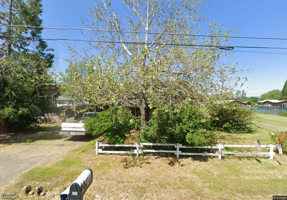
296 Wilson Rd Central Point, OR 97502
Estimated Value: $435,626 - $556,000
4
Beds
1
Bath
2,867
Sq Ft
$170/Sq Ft
Est. Value
About This Home
This home is located at 296 Wilson Rd, Central Point, OR 97502 and is currently estimated at $486,875, approximately $169 per square foot. 296 Wilson Rd is a home located in Jackson County with nearby schools including Jewett Elementary School, Scenic Middle School, and Crater High School.
Ownership History
Date
Name
Owned For
Owner Type
Purchase Details
Closed on
May 27, 2010
Sold by
Cowley Linda and Boerner William J
Bought by
Cowley Clifford A and Cowley Linda M
Current Estimated Value
Home Financials for this Owner
Home Financials are based on the most recent Mortgage that was taken out on this home.
Original Mortgage
$143,000
Interest Rate
5.03%
Mortgage Type
New Conventional
Purchase Details
Closed on
Jul 15, 2009
Sold by
Cowley Linda
Bought by
Cowley Linda and Boerner William J
Create a Home Valuation Report for This Property
The Home Valuation Report is an in-depth analysis detailing your home's value as well as a comparison with similar homes in the area
Home Values in the Area
Average Home Value in this Area
Purchase History
| Date | Buyer | Sale Price | Title Company |
|---|---|---|---|
| Cowley Clifford A | -- | None Available | |
| Cowley Linda | -- | None Available |
Source: Public Records
Mortgage History
| Date | Status | Borrower | Loan Amount |
|---|---|---|---|
| Closed | Cowley Clifford A | $143,000 |
Source: Public Records
Tax History Compared to Growth
Tax History
| Year | Tax Paid | Tax Assessment Tax Assessment Total Assessment is a certain percentage of the fair market value that is determined by local assessors to be the total taxable value of land and additions on the property. | Land | Improvement |
|---|---|---|---|---|
| 2025 | $3,069 | $249,810 | $93,140 | $156,670 |
| 2024 | $3,069 | $242,540 | $78,690 | $163,850 |
| 2023 | $2,967 | $235,480 | $76,400 | $159,080 |
| 2022 | $2,904 | $235,480 | $76,400 | $159,080 |
| 2021 | $2,822 | $228,630 | $74,180 | $154,450 |
| 2020 | $2,739 | $221,980 | $72,020 | $149,960 |
| 2019 | $2,676 | $209,250 | $67,890 | $141,360 |
| 2018 | $2,593 | $203,160 | $65,910 | $137,250 |
| 2017 | $2,532 | $203,160 | $65,910 | $137,250 |
| 2016 | $2,458 | $191,510 | $62,120 | $129,390 |
| 2015 | $2,344 | $191,510 | $62,120 | $129,390 |
| 2014 | $2,279 | $180,530 | $58,560 | $121,970 |
Source: Public Records
Map
Nearby Homes
- 225 Wilson Rd
- 2035 Rabun Way
- 2598 St James Way
- 2330 Savannah Dr
- 2248 Evan Way
- 1409 Twin Rocks Dr
- 2225 New Haven Dr
- 4922 Gebhard Rd
- 705 Mountain Ave
- 4730 Gebhard Rd
- 1121 Annalise St
- 1113 Annalise St
- 446 Beebe Rd
- 4595 Table Rock Rd
- 2770 Parkwood Village Ln
- 4399 Table Rock Rd
- 5156 Peace Ln
- 223 Ridgeway Ave
- 201 Orchardview Cir
- 4286 Hamrick Rd