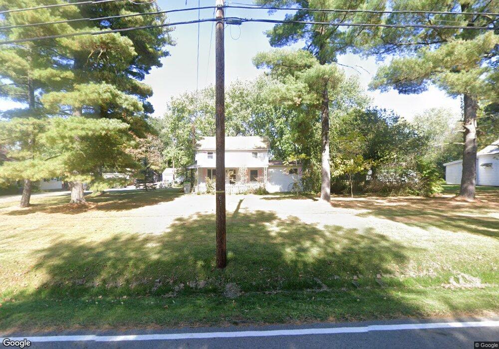
2960 Hustead Rd Springfield, OH 45502
Estimated Value: $147,000 - $209,000
2
Beds
1
Bath
1,218
Sq Ft
$154/Sq Ft
Est. Value
About This Home
This home is located at 2960 Hustead Rd, Springfield, OH 45502 and is currently estimated at $188,135, approximately $154 per square foot. 2960 Hustead Rd is a home located in Clark County with nearby schools including Greenon Elementary School, Greenon Jr. High School, and Greenon High School.
Ownership History
Date
Name
Owned For
Owner Type
Purchase Details
Closed on
Nov 16, 2010
Sold by
Wright James H and Wright Barbara J
Bought by
Morris J L
Current Estimated Value
Create a Home Valuation Report for This Property
The Home Valuation Report is an in-depth analysis detailing your home's value as well as a comparison with similar homes in the area
Home Values in the Area
Average Home Value in this Area
Purchase History
| Date | Buyer | Sale Price | Title Company |
|---|---|---|---|
| Morris J L | $85,000 | Ohio Real Estate Title |
Source: Public Records
Tax History Compared to Growth
Tax History
| Year | Tax Paid | Tax Assessment Tax Assessment Total Assessment is a certain percentage of the fair market value that is determined by local assessors to be the total taxable value of land and additions on the property. | Land | Improvement |
|---|---|---|---|---|
| 2024 | $3,658 | $44,800 | $13,720 | $31,080 |
| 2023 | $2,360 | $44,800 | $13,720 | $31,080 |
| 2022 | $0 | $44,800 | $13,720 | $31,080 |
| 2021 | $1,965 | $33,180 | $9,940 | $23,240 |
| 2020 | $1,970 | $33,180 | $9,940 | $23,240 |
| 2019 | $1,996 | $33,180 | $9,940 | $23,240 |
| 2018 | $1,882 | $30,600 | $9,120 | $21,480 |
| 2017 | $1,886 | $30,594 | $9,118 | $21,476 |
| 2016 | $1,645 | $30,594 | $9,118 | $21,476 |
| 2015 | $775 | $27,846 | $8,288 | $19,558 |
| 2014 | $1,554 | $27,846 | $8,288 | $19,558 |
| 2013 | $752 | $27,846 | $8,288 | $19,558 |
Source: Public Records
Map
Nearby Homes
- 2531 W Jackson Rd
- Tract 2 W Jackson Rd
- Tract 3 W Jackson Rd
- 5152 S Tecumseh Rd
- 4742 Peacock Rd
- 235 Northwood Dr
- 4410 Us Route 68 N
- 4676 Sullivan Rd
- 0 Xenia Ave Unit 934833
- 0 Xenia Ave Unit 1038888
- 3000 Rebert Pike
- 602 Keystone Ct
- 425 Snowdrop Dr
- 513 Lincoln Ct
- 260 King St
- 2170 Fairfield Pike
- 404 Snowdrop Dr
- 526 Iris Dr
- 125 Park Meadows Dr
- 3020 Hustead Rd
- 2942 Hustead Rd
- 2915 Hustead Rd
- 3056 Hustead Rd
- 2939 Hustead Rd
- 2751 Hustead Rd
- 2734 Hustead Rd
- 2837 Hustead Rd
- 2727 Hustead Rd
- 2678 Hustead Rd
- 2691 Hustead Rd
- 3170 Hustead Rd
- 2656 Hustead Rd
- 2643 Hustead Rd
- 3206 Hustead Rd
- 2644 Hustead Rd
- 3222 Hustead Rd
- 3231 Hustead Rd
- 2592 Hustead Rd
- 2591 Hustead Rd