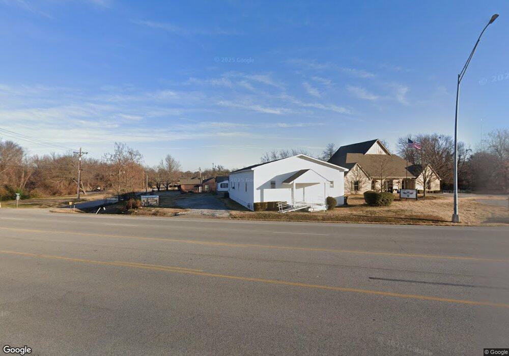
29607 E State Highway 51 Coweta, OK 74429
Estimated Value: $87,594 - $238,000
--
Bed
--
Bath
1,060
Sq Ft
$148/Sq Ft
Est. Value
About This Home
This home is located at 29607 E State Highway 51, Coweta, OK 74429 and is currently estimated at $157,399, approximately $148 per square foot. 29607 E State Highway 51 is a home with nearby schools including Donald P. Sloat Junior High School, Coweta Intermediate High School, and Coweta High School.
Ownership History
Date
Name
Owned For
Owner Type
Purchase Details
Closed on
Mar 14, 2000
Sold by
Church Of Jesus Christ
Current Estimated Value
Create a Home Valuation Report for This Property
The Home Valuation Report is an in-depth analysis detailing your home's value as well as a comparison with similar homes in the area
Home Values in the Area
Average Home Value in this Area
Purchase History
| Date | Buyer | Sale Price | Title Company |
|---|---|---|---|
| -- | -- | -- |
Source: Public Records
Tax History Compared to Growth
Tax History
| Year | Tax Paid | Tax Assessment Tax Assessment Total Assessment is a certain percentage of the fair market value that is determined by local assessors to be the total taxable value of land and additions on the property. | Land | Improvement |
|---|---|---|---|---|
| 2024 | -- | $2,490 | $0 | $2,490 |
| 2023 | $0 | $0 | $0 | $0 |
| 2022 | $0 | $0 | $0 | $0 |
| 2021 | $2,014 | $0 | $0 | $0 |
| 2020 | $2,014 | $0 | $0 | $0 |
| 2019 | $2,014 | $0 | $0 | $0 |
| 2018 | $2,014 | $0 | $0 | $0 |
| 2017 | $0 | $0 | $0 | $0 |
| 2016 | -- | $0 | $0 | $0 |
| 2015 | -- | $0 | $0 | $0 |
| 2014 | -- | $0 | $0 | $0 |
Source: Public Records
Map
Nearby Homes
- 315 N Fairland Ave
- 210 E Chestnut St
- 29905 E 144th St S
- 14336 S 299th East Ave
- 29991 E 143rd St S
- 0 S 289th East Ave
- 0001 S 298th East Ave
- 222 E Pecan St
- 213 W Pine St
- 14164 S 298th East Ave
- 910 E Dogwood St
- 0 E Dogwood St
- 417 E Dogwood St
- 402 S Guthrie Ave
- 403 S Delaware Ave
- 317 W Pine St
- 329 W Oak St
- 500 N Division St
- 512 N Division St
- 508 N Division St
- 323 N Fairland Ave
- 414 E Oak St
- 416 E Oak St
- 29667 E State Highway 51
- 314 E Oak St
- 417 E Chestnut St
- 0 N Guthrie Ave
- 29692 E State Highway 51
- 303 E Oak St
- 309 E Oak St
- 417 N Fairland Ave
- E Oklahoma 51
- 408 E Chestnut St
- 404 E Birch St
- 408 E Birch St
- 405 N Eufaula Ave
- 412 E Birch St
- 419 N Fairland Ave
- 416 E Birch St
- 420 E Birch St