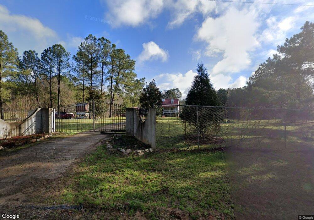
2961 Maxeys Rd Union Point, GA 30669
Estimated Value: $166,000 - $290,022
Studio
--
Bath
1,680
Sq Ft
$142/Sq Ft
Est. Value
About This Home
This home is located at 2961 Maxeys Rd, Union Point, GA 30669 and is currently estimated at $238,674, approximately $142 per square foot. 2961 Maxeys Rd is a home with nearby schools including Greene County High School.
Ownership History
Date
Name
Owned For
Owner Type
Purchase Details
Closed on
Jan 5, 2006
Sold by
Cabaniss Jonathan David
Bought by
Valdez Pablo
Current Estimated Value
Purchase Details
Closed on
Mar 14, 2002
Sold by
C G Caye Jr Family Prntshp
Bought by
Cabaniss Jonathan David
Purchase Details
Closed on
Nov 5, 2001
Bought by
C G Caye Jr Family Prntshp
Purchase Details
Closed on
Jun 21, 2001
Sold by
C G Caye Jr Family Prntshp
Bought by
Timberland Assoc Llc06212001
Purchase Details
Closed on
Jun 20, 2001
Sold by
Timberland Assoc
Bought by
Sp Forsts Llc
Purchase Details
Closed on
Jun 18, 1998
Sold by
Sp Forest Llc
Bought by
Sustainable Forests Llc
Purchase Details
Closed on
Jan 1, 1988
Sold by
Substainable Forests Llc
Bought by
Federal Paper Bd Co Inc
Purchase Details
Closed on
Jan 1, 1984
Sold by
Federal Paper Bd
Bought by
Ckmi Continental Wilkes Inc
Purchase Details
Closed on
Jan 1, 1961
Sold by
Kmi Continential
Bought by
Ccherokee Timber Corp
Create a Home Valuation Report for This Property
The Home Valuation Report is an in-depth analysis detailing your home's value as well as a comparison with similar homes in the area
Purchase History
| Date | Buyer | Sale Price | Title Company |
|---|---|---|---|
| Valdez Pablo | -- | -- | |
| Cabaniss Jonathan David | $301,000 | -- | |
| C G Caye Jr Family Prntshp | $253,700 | -- | |
| Timberland Assoc Llc06212001 | -- | -- | |
| Sp Forsts Llc | -- | -- | |
| Sustainable Forests Llc | -- | -- | |
| Federal Paper Bd Co Inc | -- | -- | |
| Timber Acquistion | -- | -- | |
| Ckmi Continental Wilkes Inc | -- | -- | |
| Ccherokee Timber Corp | -- | -- |
Source: Public Records
Tax History
| Year | Tax Paid | Tax Assessment Tax Assessment Total Assessment is a certain percentage of the fair market value that is determined by local assessors to be the total taxable value of land and additions on the property. | Land | Improvement |
|---|---|---|---|---|
| 2025 | $895 | $94,400 | $21,600 | $72,800 |
| 2024 | $968 | $91,280 | $21,600 | $69,680 |
| 2023 | $658 | $82,520 | $16,320 | $66,200 |
| 2022 | $931 | $70,880 | $12,560 | $58,320 |
| 2021 | $972 | $64,840 | $12,560 | $52,280 |
| 2020 | $1,048 | $45,240 | $12,240 | $33,000 |
| 2019 | $1,069 | $45,240 | $12,240 | $33,000 |
| 2018 | $1,049 | $45,240 | $12,240 | $33,000 |
| 2017 | $991 | $45,317 | $12,277 | $33,040 |
| 2016 | $992 | $45,723 | $12,277 | $33,446 |
| 2015 | $971 | $45,722 | $12,277 | $33,446 |
| 2014 | $977 | $43,728 | $12,277 | $31,451 |
Source: Public Records
Map
Nearby Homes
- 0 Lovers Ln Unit 10690740
- 0 Lovers Ln Unit CL349036
- 5971 Penfield Rd
- 5011 Penfield Rd
- 0 Woodville Rd Unit 7667944
- 0 Woodville Rd Unit 10628010
- 290 Poplar Creek Rd
- 1091 Peachtree Ave E
- 1500 Churchwell Rd
- 125 Walker Gresham Rd
- Whitney Farm
- 181 Lower Wirebridge Rd
- 0 Lower Wirebridge Rd
- 0 Union Point Rd Unit 10734480
- 1774 Union Point Rd
- 1251 Adams Rd
- 1 Union Point Rd
- 2 Union Point Rd
- 000 Union Point Rd
- 3021 Penfield Rd
Your Personal Tour Guide
Ask me questions while you tour the home.