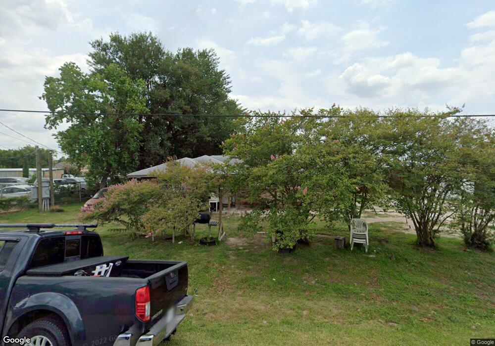
2961 Washington Dr Houston, TX 77038
North Houston NeighborhoodEstimated Value: $222,000 - $432,000
--
Bed
1
Bath
17,757
Sq Ft
$18/Sq Ft
Est. Value
About This Home
This home is located at 2961 Washington Dr, Houston, TX 77038 and is currently estimated at $327,390, approximately $18 per square foot. 2961 Washington Dr is a home located in Harris County with nearby schools including Kujawa EC/Pre-K/K School, Carter Academy, and Shotwell Middle School.
Ownership History
Date
Name
Owned For
Owner Type
Purchase Details
Closed on
Dec 31, 2022
Sold by
Franco Properties Llc
Bought by
Franco Management Group Llc
Current Estimated Value
Purchase Details
Closed on
Nov 17, 2022
Sold by
Franco Ferain and Franco Christina
Bought by
Franco Properties Llc
Purchase Details
Closed on
Aug 13, 2012
Sold by
Three F Land Company Inc
Bought by
Franco Ferain and Solis Christian
Home Financials for this Owner
Home Financials are based on the most recent Mortgage that was taken out on this home.
Original Mortgage
$520,000
Interest Rate
3.68%
Create a Home Valuation Report for This Property
The Home Valuation Report is an in-depth analysis detailing your home's value as well as a comparison with similar homes in the area
Home Values in the Area
Average Home Value in this Area
Purchase History
| Date | Buyer | Sale Price | Title Company |
|---|---|---|---|
| Franco Management Group Llc | -- | None Listed On Document | |
| Franco Properties Llc | -- | -- | |
| Franco Ferain | -- | None Available |
Source: Public Records
Mortgage History
| Date | Status | Borrower | Loan Amount |
|---|---|---|---|
| Previous Owner | Franco Ferain | $520,000 |
Source: Public Records
Tax History Compared to Growth
Tax History
| Year | Tax Paid | Tax Assessment Tax Assessment Total Assessment is a certain percentage of the fair market value that is determined by local assessors to be the total taxable value of land and additions on the property. | Land | Improvement |
|---|---|---|---|---|
| 2025 | $19,315 | $1,444,199 | $496,580 | $947,619 |
| 2024 | $19,315 | $998,290 | $496,580 | $501,710 |
| 2023 | $19,315 | $1,096,477 | $248,290 | $848,187 |
| 2022 | $20,860 | $918,503 | $248,290 | $670,213 |
| 2021 | $17,771 | $824,482 | $248,290 | $576,192 |
| 2020 | $18,119 | $797,607 | $248,290 | $549,317 |
| 2019 | $19,059 | $801,176 | $248,290 | $552,886 |
| 2018 | $7,247 | $504,721 | $248,290 | $256,431 |
| 2017 | $11,227 | $495,353 | $248,290 | $247,063 |
| 2016 | $11,220 | $495,059 | $248,290 | $246,769 |
| 2015 | $10,927 | $495,191 | $248,290 | $246,901 |
| 2014 | $10,927 | $502,506 | $248,290 | $254,216 |
Source: Public Records
Map
Nearby Homes
- 2934 Washington Dr
- 2930 Washington Dr
- 11623 Quinn Ridge Way
- 9218 Washington Dr
- 9217 Washington Dr
- 9206 Washington Dr
- 2845 Washington Dr
- 2846 W Mount Houston Rd
- 11727 State Highway 249
- 11638 Township Dale Ct
- 11618 Wren Crossing Dr
- 11707 Madison Oak St
- 10809 W Montgomery Rd
- 11207 Royal Rock Ct
- 11726 Wren Crossing Dr
- 2746 Piney Lake Ct
- 5406 Fairview Forest Dr
- 5233 Breen Dr
- 2743 Oriole Wood Ct
- 2907 Valiant Scene Ct
- 2951 Washington Dr
- 2947 Washington Dr
- 2950 Washington Dr
- 2859 Banff Mountain Trail
- 2855 Banff Mountain Trail
- 11603 Walnut Dale Ct
- 2851 Banff Mountain Trail
- 2847 Banff Mountain Trail
- 11607 Walnut Dale Ct
- 2843 Banff Mountain Trail
- 11600 W Montgomery Rd
- 2839 Banff Mountain Trail
- 11611 Walnut Dale Ct
- 11603 Quinn Ridge Way
- 11615 Walnut Dale Ct
- 2831 Banff Mountain Trail
- 11607 Quinn Ridge Way
- 11602 Quinn Ridge Way
- 11619 Walnut Dale Ct
- 2922 Lincoln Dr