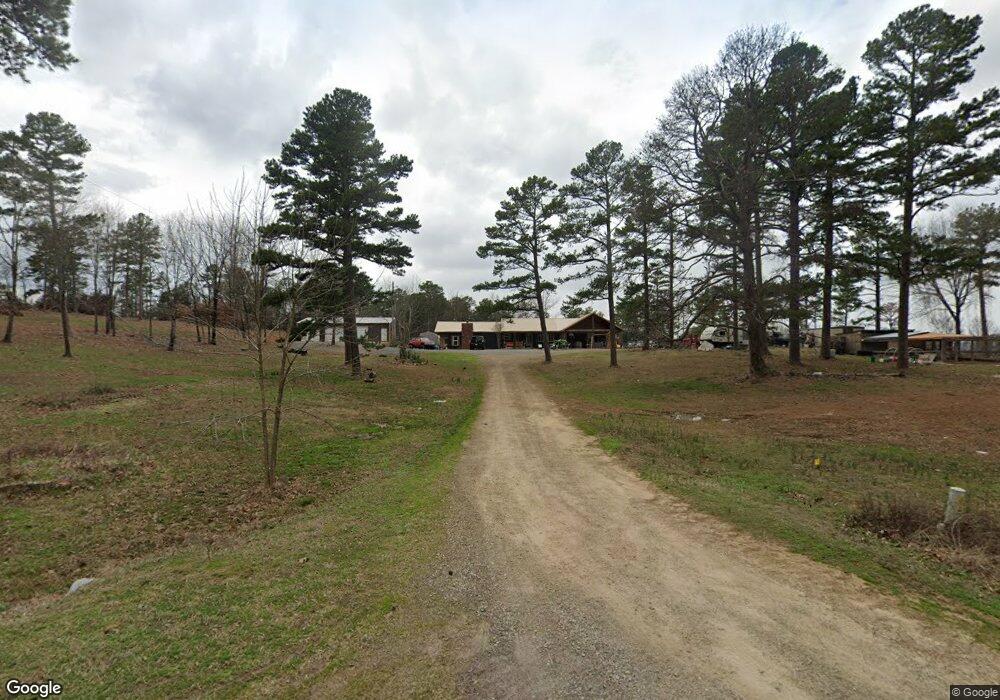
29618 Pocohontas Rd Wister, OK 74966
Estimated Value: $156,000 - $272,000
3
Beds
1
Bath
2,340
Sq Ft
$87/Sq Ft
Est. Value
About This Home
This home is located at 29618 Pocohontas Rd, Wister, OK 74966 and is currently estimated at $203,667, approximately $87 per square foot. 29618 Pocohontas Rd is a home.
Ownership History
Date
Name
Owned For
Owner Type
Purchase Details
Closed on
Sep 24, 2021
Sold by
Bennett Samuel J and Bennett Janis
Bought by
Dolph Eric and Dolph Elysia
Current Estimated Value
Purchase Details
Closed on
Mar 21, 2019
Sold by
Means Harold and Means Roberta
Bought by
Dolph Eric and Dolph Elysia
Home Financials for this Owner
Home Financials are based on the most recent Mortgage that was taken out on this home.
Original Mortgage
$161,000
Interest Rate
4.4%
Mortgage Type
Future Advance Clause Open End Mortgage
Purchase Details
Closed on
May 2, 2018
Sold by
Gibbs Jennie L
Bought by
Means Harold and Means Roberta
Purchase Details
Closed on
Jul 19, 2013
Sold by
Bullard Danny and Bullard Kachelle
Bought by
Irma L Koontz Trust and Koontz Irma L
Create a Home Valuation Report for This Property
The Home Valuation Report is an in-depth analysis detailing your home's value as well as a comparison with similar homes in the area
Home Values in the Area
Average Home Value in this Area
Purchase History
| Date | Buyer | Sale Price | Title Company |
|---|---|---|---|
| Dolph Eric | $12,000 | None Available | |
| Dolph Eric | $80,000 | Adams Abstract Company Inc | |
| Means Harold | $75,193 | None Available | |
| Irma L Koontz Trust | $63,666 | None Available |
Source: Public Records
Mortgage History
| Date | Status | Borrower | Loan Amount |
|---|---|---|---|
| Previous Owner | Dolph Eric | $161,000 |
Source: Public Records
Tax History Compared to Growth
Tax History
| Year | Tax Paid | Tax Assessment Tax Assessment Total Assessment is a certain percentage of the fair market value that is determined by local assessors to be the total taxable value of land and additions on the property. | Land | Improvement |
|---|---|---|---|---|
| 2025 | $787 | $9,975 | $1,010 | $8,965 |
| 2023 | $787 | $9,047 | $962 | $8,085 |
| 2022 | $720 | $8,617 | $962 | $7,655 |
| 2021 | $684 | $8,206 | $962 | $7,244 |
| 2020 | $735 | $8,801 | $963 | $7,838 |
| 2019 | $656 | $7,833 | $962 | $6,871 |
| 2018 | $673 | $8,007 | $962 | $7,045 |
| 2017 | $651 | $7,705 | $962 | $6,743 |
| 2016 | $670 | $7,937 | $962 | $6,975 |
| 2015 | $733 | $8,525 | $962 | $7,563 |
| 2014 | $602 | $7,003 | $571 | $6,432 |
Source: Public Records
Map
Nearby Homes
- 28574 Pocahontas Rd
- 31110 Pocahontas Rd
- 30955 Maggie Loop
- 38282 310th Ave
- 31460 Earls Flat Rd
- 27373 Eagle View Rd
- 37764 Petetree Rd
- 406 Poplar St
- 48540 Bear Creek Rd
- Braden Road
- 305 Highland Ave
- 0 Rural Route Unit 2533601
- 36757 Petetree Rd
- 703 Rosettie St
- 1102 Highland Ave
- 000 E Highland Ave
- 27740 Potts Mtn Rd
- 203 Rock Creek Dr
- 1312 E Highland Ave
- 000 Pleasant Valley Rd
- 29605 Pocohontas Rd
- 28444 Pierce Loop
- 295330 Pocohontas Rd
- 29364 Pierce Loop
- 29339 Pocohontas Rd
- 29388 Pocohontas Rd
- 37543 Y Acre Ln
- 29181 Pierce Loop
- 38877 295th Ave
- 38720 295th Ave
- 30749 Pocohontas Rd
- 30139 Maxey Cemetery Ln
- 30239 Maxey Cemetery Ln
- 30400 Wards Landing Rd
- 30478 Wards Landing Rd
- 30575 Wards Landing Rd
- 38344 295th Ave
- 30766 Maxey Cemetery Ln