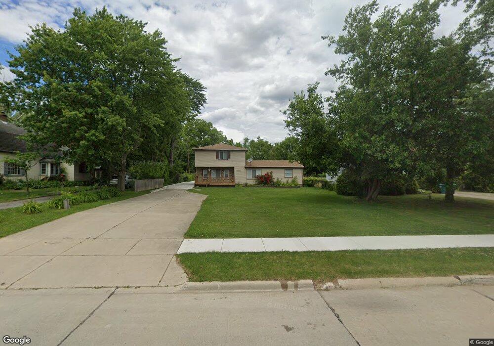
29620 Dawson St Garden City, MI 48135
Estimated Value: $227,000 - $254,000
4
Beds
2
Baths
1,725
Sq Ft
$142/Sq Ft
Est. Value
About This Home
This home is located at 29620 Dawson St, Garden City, MI 48135 and is currently estimated at $244,736, approximately $141 per square foot. 29620 Dawson St is a home located in Wayne County with nearby schools including Douglas Elementary 3-4 Campus, Memorial Elementary 1-2 Campus, and Garden City Middle School.
Ownership History
Date
Name
Owned For
Owner Type
Purchase Details
Closed on
Oct 24, 2012
Sold by
Alfasih Mohammed and Kassem Hiba
Bought by
Lucacela Dorin
Current Estimated Value
Purchase Details
Closed on
Jun 26, 2008
Sold by
Mortgage Electronic Registration Systems
Bought by
Federal National Mortgage Association
Purchase Details
Closed on
Jun 25, 2008
Sold by
Robertson Liesa A
Bought by
Mortgage Electronic Registration Systems
Purchase Details
Closed on
Aug 8, 1996
Sold by
Rober Donald F and Rober Liesa A
Bought by
Meszaros Martin C and Meszaros Jacqueline F
Create a Home Valuation Report for This Property
The Home Valuation Report is an in-depth analysis detailing your home's value as well as a comparison with similar homes in the area
Home Values in the Area
Average Home Value in this Area
Purchase History
| Date | Buyer | Sale Price | Title Company |
|---|---|---|---|
| Lucacela Dorin | $60,000 | Title One Inc | |
| Federal National Mortgage Association | -- | None Available | |
| Mortgage Electronic Registration Systems | $190,716 | None Available | |
| Meszaros Martin C | $116,500 | -- |
Source: Public Records
Tax History Compared to Growth
Tax History
| Year | Tax Paid | Tax Assessment Tax Assessment Total Assessment is a certain percentage of the fair market value that is determined by local assessors to be the total taxable value of land and additions on the property. | Land | Improvement |
|---|---|---|---|---|
| 2025 | $2,749 | $125,700 | $0 | $0 |
| 2024 | $2,749 | $112,800 | $0 | $0 |
| 2023 | $2,605 | $98,900 | $0 | $0 |
| 2022 | $3,224 | $91,900 | $0 | $0 |
| 2021 | $3,146 | $86,600 | $0 | $0 |
| 2020 | $3,147 | $79,500 | $0 | $0 |
| 2019 | $2,355 | $71,600 | $0 | $0 |
| 2018 | $2,126 | $56,400 | $0 | $0 |
| 2017 | $1,238 | $50,800 | $0 | $0 |
| 2016 | $2,687 | $49,300 | $0 | $0 |
| 2015 | $3,582 | $45,400 | $0 | $0 |
| 2013 | $3,470 | $36,100 | $0 | $0 |
| 2012 | $5,185 | $39,800 | $10,100 | $29,700 |
Source: Public Records
Map
Nearby Homes
- 29825 Dawson Ave
- 29825 Dawson St
- 5689 Brandt St
- 157 Middlebelt Rd
- 28832 Block St
- 30436 Beechwood St
- 28843 Balmoral St
- 6649 Burnly St
- 28614 Block St
- 29404 Meadow Ln Unit 1
- 6705 Whitby St
- 6747 Burnly St
- 29801 Bridge St
- 28538 Block St
- 0000 Brandt St
- 28462 Birchlawn St
- 29498 Bridge St
- 28912 Cambridge St
- 28649 John Hauk St
- 28424 Elmwood St
- 29612 Dawson St
- 29640 Dawson St
- 29554 Dawson St
- 29571 Elmwood St
- 29758 Dawson St
- 29815 Elmwood St
- 29555 Elmwood St
- 29536 Dawson St
- 29855 Elmwood St
- 29841 Elmwood St
- 29804 Dawson St
- 29533 Elmwood St
- 29525 Elmwood St
- 29507 Elmwood St
- 29820 Dawson St
- 29603 Dawson St
- 29635 Dawson St
- 29537 Dawson St
- 29856 Dawson St
- 29801 Dawson St