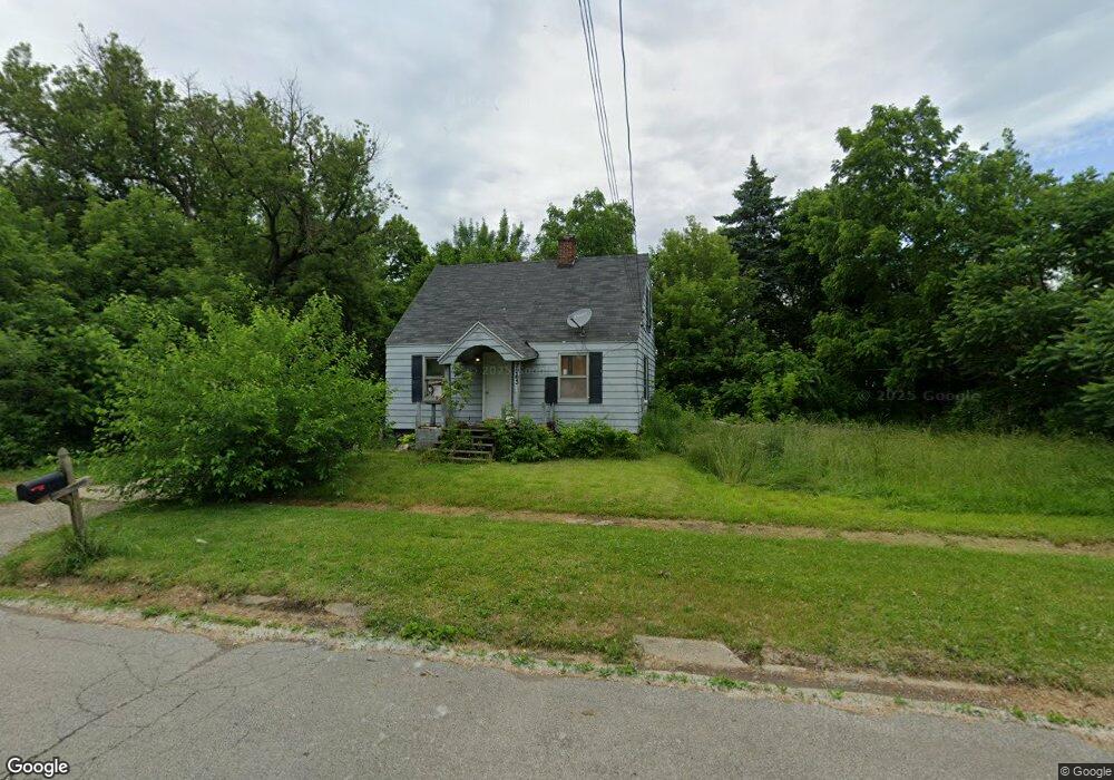
2963 Agree Ave Flint, MI 48506
Potter Longway NeighborhoodEstimated Value: $40,000 - $90,000
3
Beds
1
Bath
780
Sq Ft
$75/Sq Ft
Est. Value
About This Home
This home is located at 2963 Agree Ave, Flint, MI 48506 and is currently estimated at $58,382, approximately $74 per square foot. 2963 Agree Ave is a home located in Genesee County with nearby schools including Potter School, Richfield Public School Academy, and Richfield Early Learning Center.
Ownership History
Date
Name
Owned For
Owner Type
Purchase Details
Closed on
Dec 30, 2019
Sold by
Hermenitt Joshua
Bought by
Hermenitt Carolyn
Current Estimated Value
Purchase Details
Closed on
May 26, 2016
Sold by
Kaja Holdings 2 Llc
Bought by
Hermenitt Joshua and Hermenitt Carolyn
Purchase Details
Closed on
Oct 28, 2013
Sold by
Fannie Mae
Bought by
Kaja Holding 2 Llc
Purchase Details
Closed on
Oct 4, 2012
Sold by
Jpmorgan Chase Bank National Association
Bought by
Fannie Mae and Federal National Mortgage Association
Purchase Details
Closed on
Sep 26, 2012
Sold by
Howerton Deanna D and Howerton Kenneth V
Bought by
Jpmorgan Chase Bank National Association
Create a Home Valuation Report for This Property
The Home Valuation Report is an in-depth analysis detailing your home's value as well as a comparison with similar homes in the area
Home Values in the Area
Average Home Value in this Area
Purchase History
| Date | Buyer | Sale Price | Title Company |
|---|---|---|---|
| Hermenitt Carolyn | -- | None Available | |
| Hermenitt Joshua | $3,500 | None Available | |
| Kaja Holding 2 Llc | $1,850 | Servicelink | |
| Fannie Mae | -- | None Available | |
| Jpmorgan Chase Bank National Association | $29,856 | None Available |
Source: Public Records
Tax History
| Year | Tax Paid | Tax Assessment Tax Assessment Total Assessment is a certain percentage of the fair market value that is determined by local assessors to be the total taxable value of land and additions on the property. | Land | Improvement |
|---|---|---|---|---|
| 2025 | $769 | $18,800 | $0 | $0 |
| 2024 | $720 | $15,500 | $0 | $0 |
| 2023 | $711 | $10,300 | $0 | $0 |
| 2022 | $0 | $7,900 | $0 | $0 |
| 2021 | $716 | $7,600 | $0 | $0 |
| 2020 | $668 | $6,900 | $0 | $0 |
| 2019 | $610 | $6,600 | $0 | $0 |
| 2018 | $577 | $5,100 | $0 | $0 |
| 2017 | $820 | $0 | $0 | $0 |
| 2016 | $797 | $0 | $0 | $0 |
| 2015 | -- | $0 | $0 | $0 |
| 2014 | -- | $0 | $0 | $0 |
| 2012 | -- | $11,200 | $0 | $0 |
Source: Public Records
Map
Nearby Homes
- 3006 Agree Ave
- 2935 Richfield Rd
- 3010 Wyoming Ave
- 3118 Wyoming Ave
- 3210 Wyoming Ave
- 00 Richfield Rd
- 3018 Dakota Ave
- 2719 Branch Rd
- 3705 Aldon Ln
- 2701 Branch Rd
- 3314 Dakota Ave
- 3413 Dakota Ave
- 3294 Huggins Ave
- 2217 Maryland Ave
- 3602 Dakota Ave
- 3734 Craig Dr
- 2426 Hoff St
- 4907 Delta Dr
- 1805 Montana Ave
- 3149 Whittier Ave
Your Personal Tour Guide
Ask me questions while you tour the home.