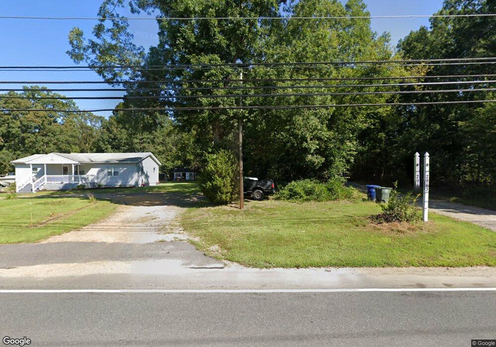
2963 Coles Mill Rd Franklinville, NJ 08322
Franklin Township NeighborhoodEstimated Value: $415,675 - $455,000
--
Bed
--
Bath
1,584
Sq Ft
$273/Sq Ft
Est. Value
About This Home
This home is located at 2963 Coles Mill Rd, Franklinville, NJ 08322 and is currently estimated at $431,919, approximately $272 per square foot. 2963 Coles Mill Rd is a home located in Gloucester County with nearby schools including Delsea Regional Middle School and Delsea Regional High School.
Ownership History
Date
Name
Owned For
Owner Type
Purchase Details
Closed on
Sep 25, 2007
Sold by
Wszelaki Karen M
Bought by
Bergamo Matthew and Bergamo Mary L
Current Estimated Value
Home Financials for this Owner
Home Financials are based on the most recent Mortgage that was taken out on this home.
Original Mortgage
$268,375
Outstanding Balance
$171,385
Interest Rate
6.65%
Mortgage Type
Purchase Money Mortgage
Estimated Equity
$260,534
Purchase Details
Closed on
Jan 10, 2005
Sold by
Bashford Gary J
Bought by
Wszelaki John B and Wszelaki Karen M
Purchase Details
Closed on
Apr 28, 1995
Sold by
Simmons Diane F
Bought by
Bashford Gary J and Bashford Karen
Create a Home Valuation Report for This Property
The Home Valuation Report is an in-depth analysis detailing your home's value as well as a comparison with similar homes in the area
Home Values in the Area
Average Home Value in this Area
Purchase History
| Date | Buyer | Sale Price | Title Company |
|---|---|---|---|
| Bergamo Matthew | $282,500 | Weichert Title Agency | |
| Wszelaki John B | -- | -- | |
| Bashford Gary J | $87,000 | Homestead Title Agency |
Source: Public Records
Mortgage History
| Date | Status | Borrower | Loan Amount |
|---|---|---|---|
| Open | Bergamo Matthew | $268,375 |
Source: Public Records
Tax History Compared to Growth
Tax History
| Year | Tax Paid | Tax Assessment Tax Assessment Total Assessment is a certain percentage of the fair market value that is determined by local assessors to be the total taxable value of land and additions on the property. | Land | Improvement |
|---|---|---|---|---|
| 2025 | $8,713 | $230,200 | $46,800 | $183,400 |
| 2024 | $8,485 | $230,200 | $46,800 | $183,400 |
| 2023 | $8,485 | $230,200 | $46,800 | $183,400 |
| 2022 | $8,264 | $230,200 | $46,800 | $183,400 |
| 2021 | $8,149 | $230,200 | $46,800 | $183,400 |
| 2020 | $8,062 | $230,200 | $46,800 | $183,400 |
| 2019 | $7,956 | $230,200 | $46,800 | $183,400 |
| 2018 | $7,850 | $230,200 | $46,800 | $183,400 |
| 2017 | $7,702 | $230,200 | $46,800 | $183,400 |
| 2016 | $7,668 | $230,200 | $46,800 | $183,400 |
| 2015 | $7,359 | $230,200 | $46,800 | $183,400 |
| 2014 | $7,086 | $230,200 | $46,800 | $183,400 |
Source: Public Records
Map
Nearby Homes
- 2323 Sheridan Ave
- 18 Crysta Ct
- 3653 Tuckahoe Rd
- 2243 Stanton Ave
- 0 Tuckahoe & Coles Mill Rd
- 3292 Tuckahoe Rd
- 0 E Grant Ave
- 893 Fries Mill Rd
- 3050 Tuckahoe Rd
- 61 Howard Ave
- 667 Stanton Ave
- 3060 Williamstown Rd
- 0 Fries Mill Rd
- 4516 Tuckahoe Rd
- 1606 Marshall Mill Rd
- 2803 Tuckahoe Rd
- 295 Blackwood Ave
- 1503 Marshall Mill Rd
- 1780 Coles Mill Rd
- 1800 Coles Mill Rd
- 2941 Coles Mill Rd
- 3011 Coles Mill Rd
- 105 Mccurdy Ave
- 5 Serenity Ct
- 187 Mccurdy Ave
- 189 Mccurdy Ave
- 91 Mccurdy Ave
- 50 Stephanie Dr
- 56 Stephanie Dr
- 17 Serenity Ct
- 73 Mccurdy Ave
- 2933 Coles Mill Rd
- 501 Lincoln Ave
- 31 Serenity Ct
- 51 Mccurdy Ave
- 36 Serenity Ct
- 515 Lincoln Ave
- 88 Stephanie Dr
- 45 Serenity Ct
- 84 Stephanie Dr