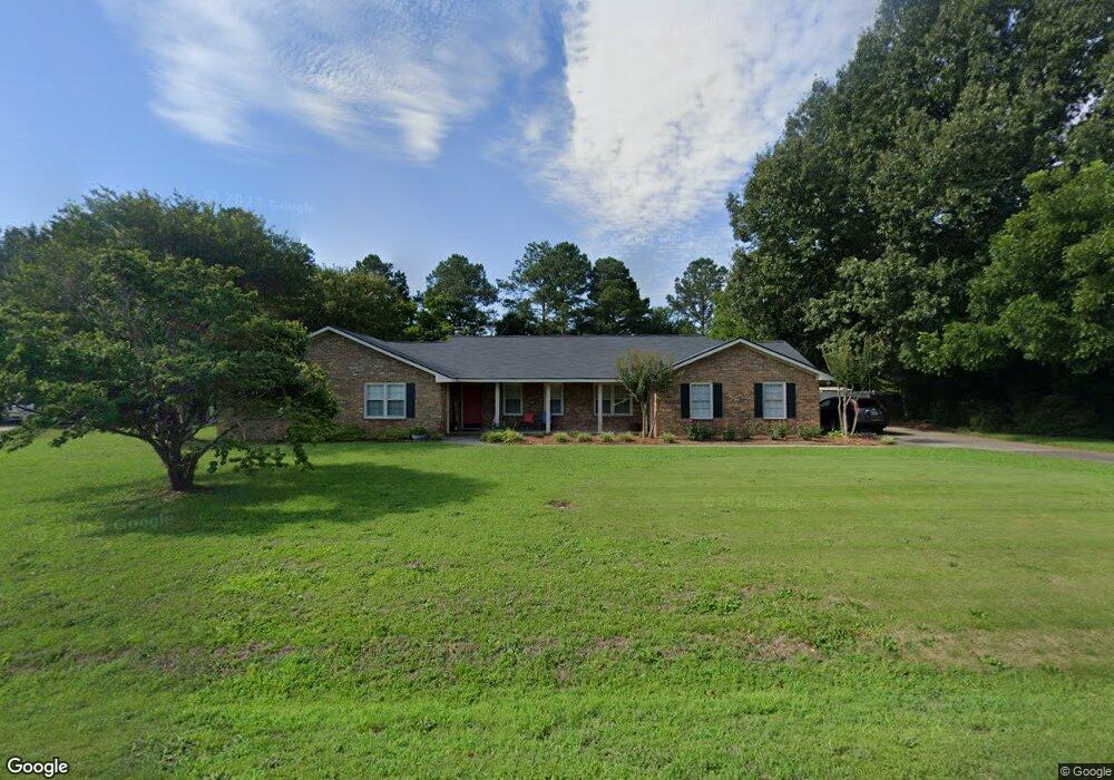
2964 Markingham Dr Macon, GA 31216
Estimated Value: $291,709 - $313,000
3
Beds
3
Baths
2,321
Sq Ft
$131/Sq Ft
Est. Value
About This Home
This home is located at 2964 Markingham Dr, Macon, GA 31216 and is currently estimated at $304,927, approximately $131 per square foot. 2964 Markingham Dr is a home located in Bibb County with nearby schools including Heard Elementary School, Rutland Middle School, and Rutland High School.
Ownership History
Date
Name
Owned For
Owner Type
Purchase Details
Closed on
Jun 26, 2017
Sold by
Bowels Michael F and Bowels Michelle D
Bought by
Holt Stephen H and Holt Sonya W
Current Estimated Value
Home Financials for this Owner
Home Financials are based on the most recent Mortgage that was taken out on this home.
Original Mortgage
$100,000
Outstanding Balance
$82,818
Interest Rate
3.95%
Mortgage Type
New Conventional
Estimated Equity
$222,109
Purchase Details
Closed on
Oct 29, 1998
Create a Home Valuation Report for This Property
The Home Valuation Report is an in-depth analysis detailing your home's value as well as a comparison with similar homes in the area
Home Values in the Area
Average Home Value in this Area
Purchase History
| Date | Buyer | Sale Price | Title Company |
|---|---|---|---|
| Holt Stephen H | $159,900 | None Available | |
| -- | $120,000 | -- |
Source: Public Records
Mortgage History
| Date | Status | Borrower | Loan Amount |
|---|---|---|---|
| Open | Holt Stephen H | $100,000 |
Source: Public Records
Tax History Compared to Growth
Tax History
| Year | Tax Paid | Tax Assessment Tax Assessment Total Assessment is a certain percentage of the fair market value that is determined by local assessors to be the total taxable value of land and additions on the property. | Land | Improvement |
|---|---|---|---|---|
| 2025 | $2,468 | $107,446 | $18,000 | $89,446 |
| 2024 | $2,465 | $104,075 | $18,000 | $86,075 |
| 2023 | $2,008 | $104,075 | $18,000 | $86,075 |
| 2022 | $2,341 | $74,610 | $5,006 | $69,604 |
| 2021 | $2,569 | $74,610 | $5,006 | $69,604 |
| 2020 | $2,625 | $74,610 | $5,006 | $69,604 |
| 2019 | $2,504 | $70,964 | $5,006 | $65,958 |
| 2018 | $3,595 | $70,964 | $5,006 | $65,958 |
| 2017 | $2,438 | $72,077 | $5,006 | $67,071 |
| 2016 | $2,252 | $72,078 | $5,006 | $67,071 |
| 2015 | $3,187 | $72,078 | $5,006 | $67,071 |
| 2014 | $923 | $63,457 | $5,006 | $58,451 |
Source: Public Records
Map
Nearby Homes
- 116 Wynens Way
- 3160 Walden Rd
- 708 Coopers Lnd
- DUPONT Plan at Quail Ridge
- GARDNER Plan at Quail Ridge
- KINGSTON Plan at Quail Ridge
- ESSEX Plan at Quail Ridge
- 6530 Bevin Dr
- 0 Ponderosa Dr
- 408 Resting Fawn Place
- 411 Bob White Rd
- 3150 Holleman Dr
- 465 Bob White Rd
- 428 Bob White Rd
- 0 Houston Rd Unit 10572705
- 4037 Liberty Estates Dr
- 4025 Liberty Estates Dr
- 436 Joseph Chandler Dr
- 405 Stonecrest Ct
- 2948 Markingham Dr
- 2980 Markingham Dr
- 321 Olin Ct
- 317 Olin Ct
- 2932 Markingham Dr
- 2965 Markingham Dr
- 3499 Walden Rd
- 2949 Markingham Dr
- 3489 Walden Rd
- 325 Olin Ct
- 2981 Markingham Dr
- 313 Olin Ct
- 3525 Walden Rd
- 2916 Markingham Dr
- 3441 Walden Rd
- 309 Olin Ct
- 0 Olin Ct Unit 7337497
- 0 Olin Ct Unit 7148833
- 0 Olin Ct Unit 8187230
- 0 Olin Ct Unit 8181486