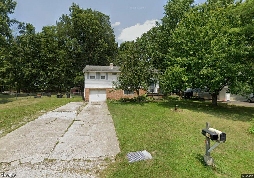
2964 Mountview Dr SW Lancaster, OH 43130
Estimated Value: $300,031 - $339,000
3
Beds
2
Baths
1,480
Sq Ft
$212/Sq Ft
Est. Value
About This Home
This home is located at 2964 Mountview Dr SW, Lancaster, OH 43130 and is currently estimated at $313,258, approximately $211 per square foot. 2964 Mountview Dr SW is a home located in Fairfield County with nearby schools including General Sherman Junior High School, Lancaster High School, and St Mary Elementary School.
Ownership History
Date
Name
Owned For
Owner Type
Purchase Details
Closed on
Jun 15, 1999
Sold by
Hunter David L
Bought by
Vanhorn Thomas L and Vanhorn Cynthia L
Current Estimated Value
Home Financials for this Owner
Home Financials are based on the most recent Mortgage that was taken out on this home.
Original Mortgage
$91,000
Interest Rate
6.99%
Mortgage Type
New Conventional
Purchase Details
Closed on
May 1, 1990
Create a Home Valuation Report for This Property
The Home Valuation Report is an in-depth analysis detailing your home's value as well as a comparison with similar homes in the area
Home Values in the Area
Average Home Value in this Area
Purchase History
| Date | Buyer | Sale Price | Title Company |
|---|---|---|---|
| Vanhorn Thomas L | $138,500 | -- | |
| -- | $66,000 | -- |
Source: Public Records
Mortgage History
| Date | Status | Borrower | Loan Amount |
|---|---|---|---|
| Closed | Vanhorn Thomas L | $91,000 |
Source: Public Records
Tax History Compared to Growth
Tax History
| Year | Tax Paid | Tax Assessment Tax Assessment Total Assessment is a certain percentage of the fair market value that is determined by local assessors to be the total taxable value of land and additions on the property. | Land | Improvement |
|---|---|---|---|---|
| 2024 | $6,781 | $73,310 | $9,640 | $63,670 |
| 2023 | $2,746 | $73,310 | $9,640 | $63,670 |
| 2022 | $2,782 | $73,310 | $9,640 | $63,670 |
| 2021 | $2,281 | $55,770 | $9,640 | $46,130 |
| 2020 | $2,141 | $55,770 | $9,640 | $46,130 |
| 2019 | $1,988 | $55,770 | $9,640 | $46,130 |
| 2018 | $1,812 | $44,990 | $9,640 | $35,350 |
| 2017 | $1,813 | $48,030 | $9,640 | $38,390 |
| 2016 | $1,767 | $48,030 | $9,640 | $38,390 |
| 2015 | $1,644 | $46,320 | $9,640 | $36,680 |
| 2014 | $1,561 | $46,320 | $9,640 | $36,680 |
| 2013 | $1,561 | $46,320 | $9,640 | $36,680 |
Source: Public Records
Map
Nearby Homes
- 0 W Fair Ave
- 2412 W Fair Ave
- 842 Lambton Cir W
- 958 Thorn Hill Place
- 957 Governor's Cir
- 2610 Misty Meadows Ave
- 5701 Lancaster-Circleville Rd SW
- 204 Western St
- 185 9th St
- 599 Front St
- 3 1st St
- 255 9th St
- 282 14th St
- 71 3rd St
- 371 12th St
- 367 12th St
- 331 16th St
- 147 Shawnee Dr
- 1935 Smith Ave
- 1829 Shoshone Dr
- 2946 Mount View Dr SW
- 2688 Wittenberg Dr
- 2682 Wittenberg Dr
- 2676 Wittenberg Dr
- 330 Becks Knob Rd
- 2700 Wittenberg Dr
- 2947 Mountview Dr SW
- 2670 Wittenberg Dr
- 2910 Mountview Dr SW
- 2664 Wittenberg Dr
- 2658 Wittenberg Dr
- 2915 Mountview Dr SW
- 2915 Mount View Dr SW
- 2697 Wittenberg Dr
- 2683 Wittenberg Dr
- 2689 Wittenberg Dr
- 103 Capital Ct
- 2652 Wittenberg Dr
- 2976 Thrush Ave SW
- 2950 Thrush Ave SW