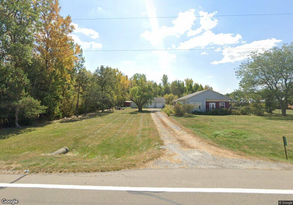
29644 State Route 385 Lakeview, OH 43331
Estimated Value: $68,000 - $226,000
3
Beds
2
Baths
1,676
Sq Ft
$92/Sq Ft
Est. Value
About This Home
This home is located at 29644 State Route 385, Lakeview, OH 43331 and is currently estimated at $154,702, approximately $92 per square foot. 29644 State Route 385 is a home located in Auglaize County with nearby schools including Waynesfield-Goshen Local Elementary School and Waynesfield-Goshen Local High School.
Ownership History
Date
Name
Owned For
Owner Type
Purchase Details
Closed on
May 1, 2025
Sold by
Esterly Tracy R and Braden Daniel D
Bought by
Branden Daniel D
Current Estimated Value
Purchase Details
Closed on
Jul 23, 2005
Sold by
Braden Elizabeth E
Bought by
Braden Daniel D
Home Financials for this Owner
Home Financials are based on the most recent Mortgage that was taken out on this home.
Original Mortgage
$106,000
Interest Rate
5.93%
Mortgage Type
New Conventional
Purchase Details
Closed on
Jul 10, 1997
Sold by
Painter Randy
Bought by
Braden Daniel D
Create a Home Valuation Report for This Property
The Home Valuation Report is an in-depth analysis detailing your home's value as well as a comparison with similar homes in the area
Home Values in the Area
Average Home Value in this Area
Purchase History
| Date | Buyer | Sale Price | Title Company |
|---|---|---|---|
| Branden Daniel D | -- | None Listed On Document | |
| Branden Daniel D | -- | None Listed On Document | |
| Braden Daniel D | -- | None Available | |
| Braden Daniel D | $79,000 | -- |
Source: Public Records
Mortgage History
| Date | Status | Borrower | Loan Amount |
|---|---|---|---|
| Previous Owner | Braden Daniel D | $106,000 |
Source: Public Records
Tax History Compared to Growth
Tax History
| Year | Tax Paid | Tax Assessment Tax Assessment Total Assessment is a certain percentage of the fair market value that is determined by local assessors to be the total taxable value of land and additions on the property. | Land | Improvement |
|---|---|---|---|---|
| 2024 | $2,608 | $42,220 | $7,840 | $34,380 |
| 2023 | $1,485 | $42,220 | $7,840 | $34,380 |
| 2022 | $1,342 | $32,700 | $7,130 | $25,570 |
| 2021 | $1,329 | $32,700 | $7,130 | $25,570 |
| 2020 | $1,332 | $32,701 | $7,126 | $25,575 |
| 2019 | $1,123 | $28,277 | $6,146 | $22,131 |
| 2018 | $1,130 | $28,277 | $6,146 | $22,131 |
| 2017 | $1,102 | $28,277 | $6,146 | $22,131 |
| 2016 | $960 | $25,347 | $5,852 | $19,495 |
| 2015 | $960 | $25,347 | $5,852 | $19,495 |
| 2014 | $961 | $25,347 | $5,852 | $19,495 |
| 2013 | $1,058 | $25,347 | $5,852 | $19,495 |
Source: Public Records
Map
Nearby Homes
- 13793 Ohio 235 Unit 75
- 11595 Ash Ave
- 11588 Blackhawk Path
- 11455 Oak St
- 11539 Big Bear Path
- 11497 Tecumseh Path
- 11524 Powhatan Path
- 15527 State Route 235
- 11518 Kickapoo Path
- 11377 Township Road 266 Unit 109
- 11377 Township Road 266 Unit 98
- 11377 Township Road 266 Unit 57
- 11377 Township Road 266 Unit 99
- 11377 Township Road 266 Unit 75
- 11377 Township Road 266 Unit 3
- 11377 Township Road 266 Unit 59
- 11377 Township Road 266 Unit 22
- 11377 Township Road 266 Unit 28
- 11377 Township Road 266 Unit 34
- 11377 Township Road 266 Unit 77