2965 Broad Run Rd Brandywine, WV 26802
Estimated Value: $212,673 - $289,000
3
Beds
2
Baths
1,596
Sq Ft
$149/Sq Ft
Est. Value
About This Home
This home is located at 2965 Broad Run Rd, Brandywine, WV 26802 and is currently estimated at $237,668, approximately $148 per square foot. 2965 Broad Run Rd is a home with nearby schools including Pendleton County Middle/High School.
Ownership History
Date
Name
Owned For
Owner Type
Purchase Details
Closed on
Aug 9, 2016
Sold by
Anderson Trisha
Bought by
Knicely Dennis F and Anderson Trisha
Current Estimated Value
Home Financials for this Owner
Home Financials are based on the most recent Mortgage that was taken out on this home.
Original Mortgage
$99,000
Outstanding Balance
$78,406
Interest Rate
3.42%
Mortgage Type
Credit Line Revolving
Estimated Equity
$159,262
Purchase Details
Closed on
May 1, 2007
Sold by
Anderson Darren
Bought by
Anderson Trisha
Create a Home Valuation Report for This Property
The Home Valuation Report is an in-depth analysis detailing your home's value as well as a comparison with similar homes in the area
Purchase History
| Date | Buyer | Sale Price | Title Company |
|---|---|---|---|
| Knicely Dennis F | -- | None Available | |
| Anderson Trisha | -- | -- |
Source: Public Records
Mortgage History
| Date | Status | Borrower | Loan Amount |
|---|---|---|---|
| Open | Knicely Dennis F | $99,000 |
Source: Public Records
Tax History
| Year | Tax Paid | Tax Assessment Tax Assessment Total Assessment is a certain percentage of the fair market value that is determined by local assessors to be the total taxable value of land and additions on the property. | Land | Improvement |
|---|---|---|---|---|
| 2025 | $557 | $82,080 | $14,940 | $67,140 |
| 2024 | $541 | $79,680 | $14,460 | $65,220 |
| 2023 | $531 | $78,180 | $14,460 | $63,720 |
| 2022 | $515 | $75,900 | $13,620 | $62,280 |
| 2021 | $506 | $74,520 | $13,080 | $61,440 |
| 2020 | $499 | $73,560 | $13,020 | $60,540 |
| 2019 | $486 | $71,820 | $13,380 | $58,440 |
| 2018 | $460 | $68,220 | $13,380 | $54,840 |
| 2017 | $463 | $68,160 | $14,220 | $53,940 |
| 2016 | $467 | $68,820 | $15,840 | $52,980 |
| 2015 | $455 | $67,440 | $16,080 | $51,360 |
| 2014 | $455 | $67,320 | $19,560 | $47,760 |
Source: Public Records
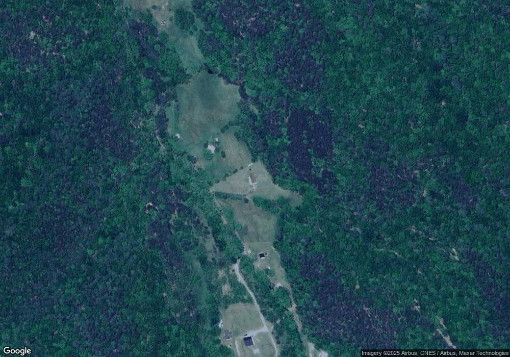
Map
Nearby Homes
- 418 R & R Ridge Rd
- Off Rt 33 Lot Unit WP001
- 12590 Blue Gray Trail
- 73 Mill Gap Rd
- 106 Pit Run Rd
- Lot #22 Country Acres Dr
- Lot #21 Country Acres Dr
- Lot #29 Country Acres Dr
- Lot #25 Country Acres Dr
- Lot #27 Country Acres Dr
- Lot #32 Country Acres Dr
- Lot #23 Country Acres Dr
- Lot #20 Country Acres Dr
- Lot #26 Country Acres Dr
- Lot #28 Whispering Pine Dr
- Lot #33 Whispering Pine Dr
- 8545 Sugar Grove Rd
- 0-8.87 ac Dry Run Rd
- 2817 Dry Run Rd
- 0 8.87 ACS Dry Run Rd
- 2929 Broad Run Rd
- 108 Gemstone Ln
- 3187 Broad Run Rd
- 166 R & R Ridge Rd
- 77 Bubs Ln
- 796 Hound Dog Hollow Ln
- 0 Broad Run
- 222 Brady Hollow B
- 222 Brady Hollow
- 222 B Whites Run
- 2169 Broad Run Rd
- 2131 Broad Run Rd
- 298 Hound Dog Hollow Ln
- 2059 Broad Run Rd
- 2059 Broad Run Rd
- 2057 Broad Run Rd
- 2031 Broad Run Rd
- 2181 Millers Run Rd
- 1650 Caplinger Ln
- 1975 Broad Run Rd
Your Personal Tour Guide
Ask me questions while you tour the home.