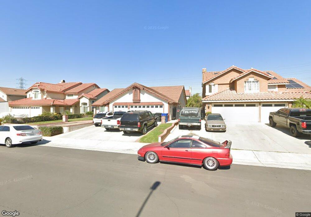
2965 E Big Range Rd Ontario, CA 91761
Ontario Ranch NeighborhoodEstimated Value: $760,160 - $876,000
4
Beds
2
Baths
2,092
Sq Ft
$391/Sq Ft
Est. Value
About This Home
This home is located at 2965 E Big Range Rd, Ontario, CA 91761 and is currently estimated at $818,540, approximately $391 per square foot. 2965 E Big Range Rd is a home located in San Bernardino County with nearby schools including Ranch View Elementary School, Grace Yokley Middle School, and Colony High.
Ownership History
Date
Name
Owned For
Owner Type
Purchase Details
Closed on
Feb 25, 2011
Sold by
Indaburu Jean M
Bought by
Indaburu Jean M and Indaburu Annette M
Current Estimated Value
Purchase Details
Closed on
Oct 10, 1996
Sold by
Federal Home Loan Mortgage Corporation
Bought by
Indaburu Jean M and Indaburu Annette M S
Purchase Details
Closed on
Aug 2, 1996
Sold by
Green Christopher and Green Christy
Bought by
Federal Home Loan Mortgage Corporation
Create a Home Valuation Report for This Property
The Home Valuation Report is an in-depth analysis detailing your home's value as well as a comparison with similar homes in the area
Home Values in the Area
Average Home Value in this Area
Purchase History
| Date | Buyer | Sale Price | Title Company |
|---|---|---|---|
| Indaburu Jean M | -- | None Available | |
| Indaburu Jean M | $165,000 | Fidelity National Title Ins | |
| Federal Home Loan Mortgage Corporation | $159,000 | Commonwealth Land Title |
Source: Public Records
Tax History
| Year | Tax Paid | Tax Assessment Tax Assessment Total Assessment is a certain percentage of the fair market value that is determined by local assessors to be the total taxable value of land and additions on the property. | Land | Improvement |
|---|---|---|---|---|
| 2025 | $2,938 | $268,727 | $67,262 | $201,465 |
| 2024 | $2,875 | $263,458 | $65,943 | $197,515 |
| 2023 | $2,788 | $258,292 | $64,650 | $193,642 |
| 2022 | $2,755 | $253,227 | $63,382 | $189,845 |
| 2021 | $2,736 | $248,262 | $62,139 | $186,123 |
| 2020 | $2,695 | $245,717 | $61,502 | $184,215 |
| 2019 | $2,680 | $240,899 | $60,296 | $180,603 |
| 2018 | $2,620 | $236,176 | $59,114 | $177,062 |
| 2017 | $2,539 | $231,545 | $57,955 | $173,590 |
| 2016 | $2,504 | $227,005 | $56,819 | $170,186 |
| 2015 | $2,501 | $223,596 | $55,966 | $167,630 |
| 2014 | $2,432 | $219,216 | $54,870 | $164,346 |
Source: Public Records
Map
Nearby Homes
- 3109 E Black Horse Dr
- 3069 E Hopkins St
- 3344 S North Shore Dr
- 2796 E Big Range Rd
- 3035 E Oak Knoll Loop
- 3322 S Primerose Dr
- 3382 E Aspen St
- 3410 E Foxglove Way
- 2972 E Calgary St
- 3873 E Cranbrook Paseo
- 3384 E Tree Blossom St
- 2716 Tumbleweed St
- 3421 E Orange Blossom Way
- 3246 S Agate Paseo
- 3242 S Agate Paseo
- 3230 S Agate Paseo
- 2983 E Halton Paseo
- 3849 Oakville Ave
- 3443 E Moonstone Dr
- 3503 S Tanager Dr
- 2973 E Big Range Rd
- 2957 E Big Range Rd
- 2981 E Big Range Rd
- 2949 E Big Range Rd
- 2972 E Black Horse Dr
- 2980 E Black Horse Dr
- 2961 E Black Horse Dr
- 2988 E Black Horse Dr
- 2956 E Black Horse Dr
- 2964 E Big Range Rd
- 2941 E Big Range Rd
- 2989 E Big Range Rd
- 2956 E Big Range Rd
- 2972 E Big Range Rd
- 2996 E Black Horse Dr
- 2948 E Black Horse Dr
- 2980 E Big Range Rd
- 2933 E Big Range Rd
- 2940 E Big Range Rd
- 2988 E Big Range Rd
Your Personal Tour Guide
Ask me questions while you tour the home.