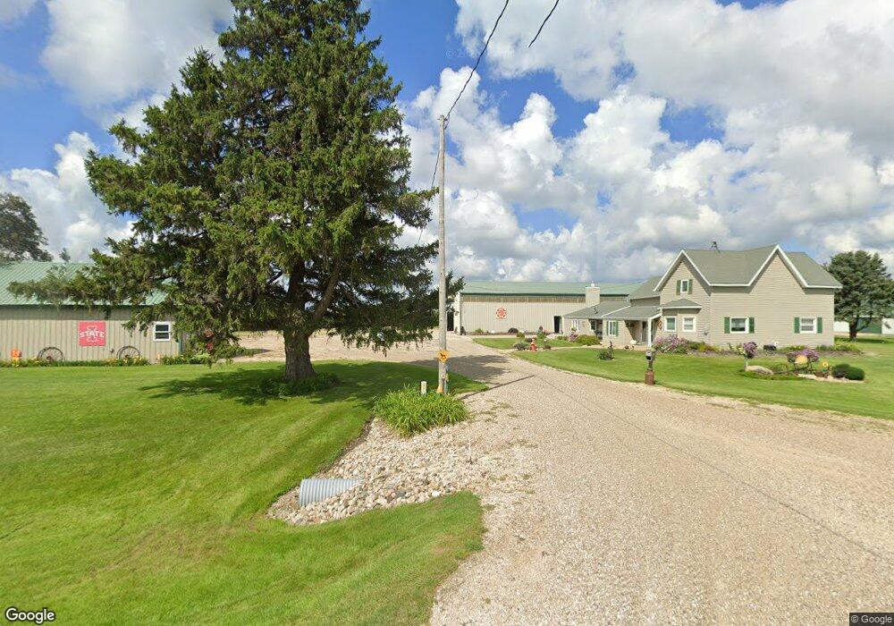
29657 Highway S75 Eldora, IA 50627
Estimated Value: $182,000 - $350,193
7
Beds
1
Bath
3,004
Sq Ft
$83/Sq Ft
Est. Value
About This Home
This home is located at 29657 Highway S75, Eldora, IA 50627 and is currently estimated at $250,398, approximately $83 per square foot. 29657 Highway S75 is a home with nearby schools including BCLUW Elementary School, BCLUW Middle School, and BCLUW High School.
Create a Home Valuation Report for This Property
The Home Valuation Report is an in-depth analysis detailing your home's value as well as a comparison with similar homes in the area
Tax History
| Year | Tax Paid | Tax Assessment Tax Assessment Total Assessment is a certain percentage of the fair market value that is determined by local assessors to be the total taxable value of land and additions on the property. | Land | Improvement |
|---|---|---|---|---|
| 2025 | $2,746 | $232,270 | $107,340 | $124,930 |
| 2024 | $2,746 | $188,550 | $79,430 | $109,120 |
| 2023 | $2,412 | $178,460 | $79,430 | $99,030 |
| 2022 | $2,094 | $133,150 | $65,680 | $67,470 |
| 2021 | $2,094 | $133,150 | $65,680 | $67,470 |
| 2020 | $1,978 | $126,440 | $60,710 | $65,730 |
| 2019 | $1,940 | $126,440 | $0 | $0 |
| 2018 | $1,940 | $155,950 | $0 | $0 |
| 2017 | $2,098 | $169,420 | $0 | $0 |
| 2016 | $2,018 | $169,420 | $0 | $0 |
| 2015 | $2,134 | $180,070 | $0 | $0 |
| 2014 | $1,368 | $119,330 | $0 | $0 |
Source: Public Records
Map
Nearby Homes
- 32031 Y Ave
- 101 2nd St
- 402 1st St
- 707 Commercial St
- 28444 County Highway S62
- 28444 County Highway S62
- 601 N Wilhelm St
- 614 N Main St
- 614 N Main St Unit 6
- 408 N Washington St
- 610 N Main St Unit 5
- 610 N Main St
- 606 N Main St Unit 4
- 606 N Main St
- 602 N Main St Unit 3
- 602 N Main St
- 613 N Vernon St Unit 7
- 609 N Vernon St Unit 8
- 514 N Main St
- 514 N Main St Unit 2
Your Personal Tour Guide
Ask me questions while you tour the home.