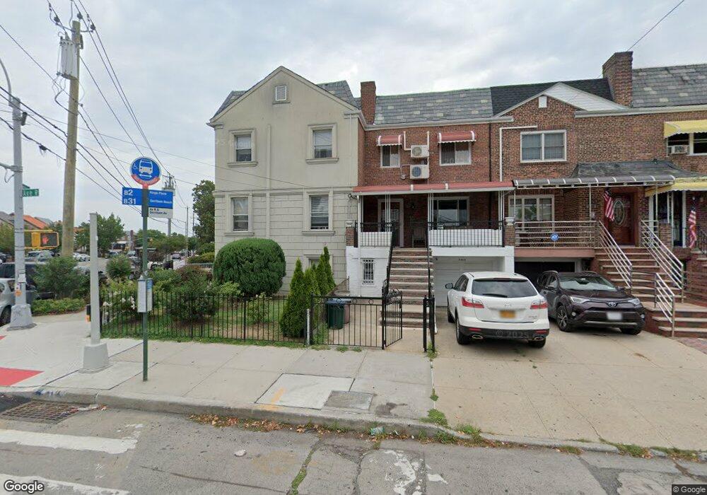
2966 Avenue R Brooklyn, NY 11229
Madison NeighborhoodEstimated Value: $916,226 - $1,294,000
2
Beds
1
Bath
850
Sq Ft
$1,234/Sq Ft
Est. Value
About This Home
This home is located at 2966 Avenue R, Brooklyn, NY 11229 and is currently estimated at $1,049,057, approximately $1,234 per square foot. 2966 Avenue R is a home located in Kings County with nearby schools including PS 222 Katherine R Snyder, J.H.S. 278 Marine Park, and James Madison High School.
Ownership History
Date
Name
Owned For
Owner Type
Purchase Details
Closed on
Nov 30, 2015
Sold by
Malvataj Vlash
Bought by
Chan Kahei and Chan Leung Choi
Current Estimated Value
Home Financials for this Owner
Home Financials are based on the most recent Mortgage that was taken out on this home.
Original Mortgage
$625,000
Outstanding Balance
$494,597
Interest Rate
3.89%
Estimated Equity
$554,460
Purchase Details
Closed on
Jan 21, 2009
Sold by
Skribka Dmitriy
Bought by
Malvataj Vlash
Purchase Details
Closed on
Jul 28, 1997
Sold by
Sutherland Doris
Bought by
Skribka Dmitry and Skribka Tatyana
Home Financials for this Owner
Home Financials are based on the most recent Mortgage that was taken out on this home.
Original Mortgage
$185,250
Interest Rate
7.47%
Create a Home Valuation Report for This Property
The Home Valuation Report is an in-depth analysis detailing your home's value as well as a comparison with similar homes in the area
Home Values in the Area
Average Home Value in this Area
Purchase History
| Date | Buyer | Sale Price | Title Company |
|---|---|---|---|
| Chan Kahei | $850,000 | -- | |
| Malvataj Vlash | $540,000 | -- | |
| Skribka Dmitry | $195,000 | Commonwealth Land Title Ins |
Source: Public Records
Mortgage History
| Date | Status | Borrower | Loan Amount |
|---|---|---|---|
| Open | Chan Kahei | $625,000 | |
| Previous Owner | Skribka Dmitry | $185,250 |
Source: Public Records
Tax History Compared to Growth
Tax History
| Year | Tax Paid | Tax Assessment Tax Assessment Total Assessment is a certain percentage of the fair market value that is determined by local assessors to be the total taxable value of land and additions on the property. | Land | Improvement |
|---|---|---|---|---|
| 2025 | $8,129 | $62,640 | $9,420 | $53,220 |
| 2024 | $8,129 | $73,680 | $9,420 | $64,260 |
| 2023 | $8,158 | $69,540 | $9,420 | $60,120 |
| 2022 | $7,565 | $64,620 | $9,420 | $55,200 |
| 2021 | $7,524 | $54,300 | $9,420 | $44,880 |
| 2020 | $3,529 | $50,820 | $9,420 | $41,400 |
| 2019 | $7,056 | $50,820 | $9,420 | $41,400 |
| 2018 | $6,824 | $33,475 | $5,585 | $27,890 |
| 2017 | $6,438 | $31,581 | $6,190 | $25,391 |
| 2016 | $5,956 | $29,794 | $6,425 | $23,369 |
| 2015 | $3,593 | $28,108 | $7,823 | $20,285 |
| 2014 | $3,593 | $28,108 | $7,608 | $20,500 |
Source: Public Records
Map
Nearby Homes
- 3165 Nostrand Ave Unit 1N
- 3165 Nostrand Ave Unit 2L
- 3165 Nostrand Ave Unit 4P
- 3165 Nostrand Ave Unit 4V
- 3165 Nostrand Ave Unit 1H
- 3165 Nostrand Ave Unit 1G
- 3165 Nostrand Ave Unit 1S
- 3165 Nostrand Ave Unit 1P
- 1848 Haring St
- 3178 Nostrand Ave Unit 1C
- 3178 Nostrand Ave Unit 1M
- 1746 Gerritsen Ave
- 3203 Nostrand Ave Unit 4H
- 3203 Nostrand Ave Unit LB
- 1908 Gerritsen Ave
- 2622 Fillmore Ave
- 1882 Batchelder St
- 2810 Avenue R
- 1837 Burnett St
- 1711 Gerritsen Ave
- 2964 Avenue R
- 2962 Avenue R
- 1850 Gerritsen Ave
- 2960 Avenue R
- 2958 Avenue R
- 1852 Gerritsen Ave
- 2956 Avenue R
- 1856 Gerritsen Ave
- 1815 Haring St
- 2954 Avenue R
- 1817 Haring St
- 1820 Brown St
- 1819 Haring St
- 1824 Brown St
- 1821 Haring St
- 1839 Gerritsen Ave
- 1843 Gerritsen Ave
- 1837 Gerritsen Ave
- 1823 Haring St
- 1845 Gerritsen Ave