Estimated Value: $186,000 - $245,000
3
Beds
2
Baths
1,148
Sq Ft
$176/Sq Ft
Est. Value
About This Home
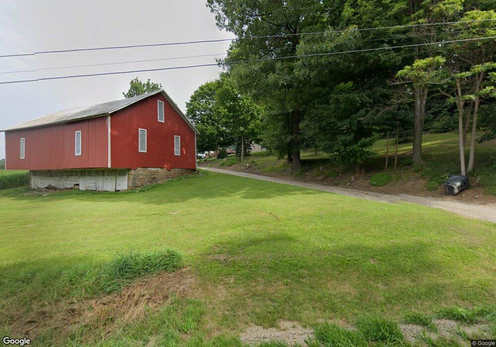
This home is located at 2967 State Route 39, Lucas, OH 44843 and is currently estimated at $202,536, approximately $176 per square foot. 2967 State Route 39 is a home located in Richland County with nearby schools including Lucas Elementary School, Lucas Heritage Middle School, and Lucas High School.
Ownership History
Date
Name
Owned For
Owner Type
Purchase Details
Closed on
Dec 7, 2009
Sold by
Boyce Gary L
Bought by
Boyce Gary L and Boyce Julie
Current Estimated Value
Home Financials for this Owner
Home Financials are based on the most recent Mortgage that was taken out on this home.
Original Mortgage
$156,313
Outstanding Balance
$101,327
Interest Rate
4.78%
Mortgage Type
FHA
Estimated Equity
$101,209
Purchase Details
Closed on
Oct 16, 1992
Sold by
Heinberger Michael L
Bought by
Boyce Gary L
Create a Home Valuation Report for This Property
The Home Valuation Report is an in-depth analysis detailing your home's value as well as a comparison with similar homes in the area
Home Values in the Area
Average Home Value in this Area
Purchase History
| Date | Buyer | Sale Price | Title Company |
|---|---|---|---|
| Boyce Gary L | -- | New England Title | |
| Boyce Gary L | $61,000 | -- |
Source: Public Records
Mortgage History
| Date | Status | Borrower | Loan Amount |
|---|---|---|---|
| Open | Boyce Gary L | $156,313 |
Source: Public Records
Tax History Compared to Growth
Tax History
| Year | Tax Paid | Tax Assessment Tax Assessment Total Assessment is a certain percentage of the fair market value that is determined by local assessors to be the total taxable value of land and additions on the property. | Land | Improvement |
|---|---|---|---|---|
| 2024 | $1,888 | $45,020 | $10,470 | $34,550 |
| 2023 | $1,888 | $45,020 | $10,470 | $34,550 |
| 2022 | $1,681 | $35,800 | $9,360 | $26,440 |
| 2021 | $1,685 | $35,800 | $9,360 | $26,440 |
| 2020 | $1,712 | $35,800 | $9,360 | $26,440 |
| 2019 | $1,544 | $30,350 | $7,930 | $22,420 |
| 2018 | $1,589 | $30,350 | $7,930 | $22,420 |
| 2017 | $1,614 | $30,350 | $7,930 | $22,420 |
| 2016 | $1,629 | $31,250 | $7,150 | $24,100 |
| 2015 | $1,629 | $31,250 | $7,150 | $24,100 |
| 2014 | $1,637 | $31,250 | $7,150 | $24,100 |
| 2012 | $806 | $31,250 | $7,150 | $24,100 |
Source: Public Records
Map
Nearby Homes
- 0 Moffett Rd
- 174 W Main St
- 0 Mount Zion Rd Unit 9069748
- 0 Applegate Rd
- 2428 Applegate Rd
- 2905 Tucker Rd
- 3261 Moffett Rd
- 1679 Pulver Rd
- 1307 Sweetbriar Dr
- 2221 Pleasant Valley Rd
- 0 Tucker Rd
- 0 Peterson Rd
- 0 State Route 39 & I-71 Northeast Quadrant
- 0 State Route 39 & I-71 Southeast Quadrant
- 1135 E Hanley Rd
- 2061 Washington North Rd
- 1875 Mansfield Lucas Rd
- 2750 Lutz Ave
- 929 Antionette Dr
- 3386 Trumpower Rd
- 3271 State Route 39
- 3035 State Route 39
- 2897 State Route 39
- 2897 State Route 39
- 3039 State Route 39
- 2904 State Route 39
- 2881 State Route 39
- 1843 Smart Rd
- 1863 Smart Rd
- 1895 Smart Rd
- 2785 State Route 39
- 2812 State Route 39
- 2759 State Route 39
- 3171 State Route 39
- 2735 State Route 39 Unit 2737
- 1995 State Route 39
- 1726 Smart Rd
- 2707 State Route 39
- 1714 Smart Rd
- 2736 State Route 39