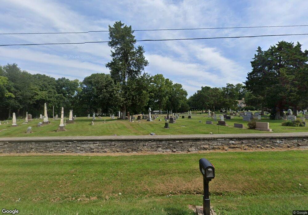
2967 W State Route 113 Unit A Kankakee, IL 60901
Estimated Value: $289,000 - $330,167
--
Bed
--
Bath
--
Sq Ft
0.6
Acres
About This Home
This home is located at 2967 W State Route 113 Unit A, Kankakee, IL 60901 and is currently estimated at $313,292. 2967 W State Route 113 Unit A is a home located in Kankakee County with nearby schools including Herscher High School, Kankakee Trinity Academy, and L W C Academy.
Ownership History
Date
Name
Owned For
Owner Type
Purchase Details
Closed on
May 22, 2024
Sold by
Cowen Ashley M and Moyer Collin Charles
Bought by
Lister Simon and Gialdini-Lister Marcie
Current Estimated Value
Purchase Details
Closed on
May 8, 2020
Sold by
Fronk Michael K and Fronk Lauren A
Bought by
Moyer Collin Charles and Cowen Ashley M
Home Financials for this Owner
Home Financials are based on the most recent Mortgage that was taken out on this home.
Original Mortgage
$218,500
Interest Rate
3.5%
Mortgage Type
New Conventional
Purchase Details
Closed on
Apr 10, 2017
Sold by
Jonathan Lafoy
Bought by
Fronk Michael K and Fronk Lauren A
Home Financials for this Owner
Home Financials are based on the most recent Mortgage that was taken out on this home.
Original Mortgage
$185,250
Interest Rate
4.1%
Mortgage Type
New Conventional
Create a Home Valuation Report for This Property
The Home Valuation Report is an in-depth analysis detailing your home's value as well as a comparison with similar homes in the area
Home Values in the Area
Average Home Value in this Area
Purchase History
| Date | Buyer | Sale Price | Title Company |
|---|---|---|---|
| Lister Simon | $280,000 | Kankakee County Title | |
| Moyer Collin Charles | $230,000 | Burnet Title | |
| Fronk Michael K | $195,000 | Title Resources Guaranty Co |
Source: Public Records
Mortgage History
| Date | Status | Borrower | Loan Amount |
|---|---|---|---|
| Previous Owner | Moyer Collin Charles | $218,500 | |
| Previous Owner | Fronk Michael K | $185,250 |
Source: Public Records
Tax History Compared to Growth
Tax History
| Year | Tax Paid | Tax Assessment Tax Assessment Total Assessment is a certain percentage of the fair market value that is determined by local assessors to be the total taxable value of land and additions on the property. | Land | Improvement |
|---|---|---|---|---|
| 2024 | $7,399 | $101,370 | $19,882 | $81,488 |
| 2023 | $6,105 | $87,508 | $18,240 | $69,268 |
| 2022 | $5,747 | $80,839 | $16,850 | $63,989 |
| 2021 | $5,620 | $77,173 | $16,086 | $61,087 |
| 2020 | $5,572 | $75,660 | $15,771 | $59,889 |
| 2019 | $5,124 | $69,740 | $15,042 | $54,698 |
| 2018 | $5,045 | $68,710 | $14,820 | $53,890 |
| 2017 | $4,922 | $66,685 | $14,315 | $52,370 |
| 2016 | $5,201 | $69,700 | $13,932 | $55,768 |
| 2015 | $3,936 | $56,218 | $13,592 | $42,626 |
| 2014 | $3,936 | $57,093 | $13,597 | $43,496 |
| 2013 | -- | $57,962 | $13,804 | $44,158 |
Source: Public Records
Map
Nearby Homes
- 2471 Girard Turn
- 2790 Stone Ridge Dr
- 2821 Stonefence Dr
- 2755 Stonefence Dr
- 3267 Edgewater Dr
- 2756 Stonefence Dr
- 2777 Stonefence Dr
- 2163 Flagstone Dr
- 2962 Stonefence Dr
- 2119 Flagstone Dr
- 2097 Flagstone Dr
- 2075 Flagstone Dr
- 2799 Stone Fence Dr
- 2062 Flagstone Dr
- 2757 Deer Run Dr
- 2754 Deer Run Dr
- 2089 Sunset View Ln
- 1019 Country Ln
- 1040 Country Ln
- 1037 Deer Trail
- 2967 W State Route 113 Unit B
- 2967 W State Route 113 Unit D
- 2967 W State Route 113
- 2967A Illinois 113
- 2967 A Rt 113
- 2987 W State Route 113
- 3003 W State Route 113
- 2881 W State Route 113
- 3015 W State Route 113
- 3025 W State Route 113
- 2491 Potters Turn
- 2954 W State Route 113
- 2942 W State Route 113
- 3018 W State Route 113
- 3049 W State Route 113
- 2483 Potters Turn
- 3026 W State Route 113
- 2478 N 2750w Rd
- 3051 W State Route 113
