Estimated Value: $802,215 - $981,000
4
Beds
3
Baths
3,442
Sq Ft
$264/Sq Ft
Est. Value
About This Home
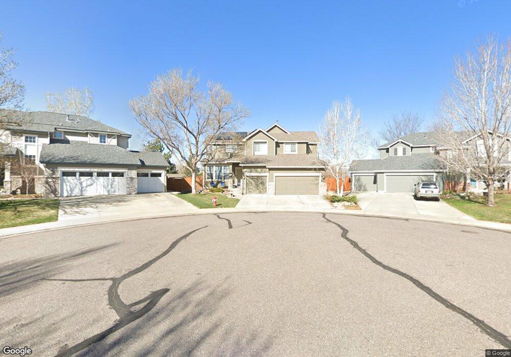
This home is located at 2968 Hunt Ct, Erie, CO 80516 and is currently estimated at $908,804, approximately $264 per square foot. 2968 Hunt Ct is a home located in Boulder County with nearby schools including Meadowlark School, Centaurus High School, and Aspen Ridge Preparatory School.
Ownership History
Date
Name
Owned For
Owner Type
Purchase Details
Closed on
Jun 30, 2011
Sold by
Leef Paul M
Bought by
Leff Paul M
Current Estimated Value
Home Financials for this Owner
Home Financials are based on the most recent Mortgage that was taken out on this home.
Original Mortgage
$361,107
Outstanding Balance
$245,360
Interest Rate
4.25%
Mortgage Type
FHA
Estimated Equity
$663,444
Purchase Details
Closed on
Feb 9, 1998
Sold by
Watt Residential Partners
Create a Home Valuation Report for This Property
The Home Valuation Report is an in-depth analysis detailing your home's value as well as a comparison with similar homes in the area
Home Values in the Area
Average Home Value in this Area
Purchase History
| Date | Buyer | Sale Price | Title Company |
|---|---|---|---|
| Leff Paul M | -- | Land Title Guarantee Company | |
| Leef Paul M | $370,500 | Land Title Guarantee Company | |
| -- | $224,242 | -- |
Source: Public Records
Mortgage History
| Date | Status | Borrower | Loan Amount |
|---|---|---|---|
| Open | Leef Paul M | $361,107 |
Source: Public Records
Tax History Compared to Growth
Tax History
| Year | Tax Paid | Tax Assessment Tax Assessment Total Assessment is a certain percentage of the fair market value that is determined by local assessors to be the total taxable value of land and additions on the property. | Land | Improvement |
|---|---|---|---|---|
| 2025 | $4,238 | $46,276 | $13,888 | $32,388 |
| 2024 | $4,238 | $46,276 | $13,888 | $32,388 |
| 2023 | $4,177 | $46,853 | $18,552 | $31,986 |
| 2022 | $4,151 | $37,377 | $11,718 | $25,659 |
| 2021 | $4,140 | $38,453 | $12,055 | $26,398 |
| 2020 | $3,983 | $36,651 | $7,722 | $28,929 |
| 2019 | $3,933 | $36,651 | $7,722 | $28,929 |
| 2018 | $3,797 | $34,740 | $11,160 | $23,580 |
| 2017 | $3,572 | $38,407 | $12,338 | $26,069 |
| 2016 | $3,474 | $32,723 | $15,840 | $16,883 |
| 2015 | $3,320 | $26,698 | $7,960 | $18,738 |
| 2014 | $2,768 | $26,698 | $7,960 | $18,738 |
Source: Public Records
Map
Nearby Homes
- 1381 Siltstone St
- 1842 Southard St
- 1321 Alexandria St
- 1305 Balmora St
- 1331 Fountain Ln
- 1195 Fox Hills Ct
- 309 Baron Ave
- 848 Sandstone Cir
- 304 W Beacon Hill Dr
- 2326 Carbonate Cir
- 1063 Sandstone Cir
- 972 Carbonate Ln
- 803 W Lucerne Dr
- 1041 Homestead Rd
- 1920 Marfell St
- 951 Vetch Cir
- 300 Lucerne Dr
- 908 Dinosaur Dr
- 825 Dakota Ln
- 772 Carbonate Ln