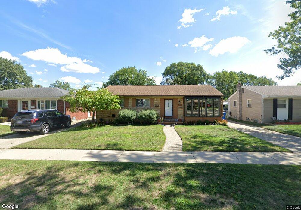
29680 Newport Dr Warren, MI 48088
Northeast Warren NeighborhoodEstimated Value: $230,000 - $262,000
3
Beds
2
Baths
1,168
Sq Ft
$212/Sq Ft
Est. Value
About This Home
This home is located at 29680 Newport Dr, Warren, MI 48088 and is currently estimated at $247,142, approximately $211 per square foot. 29680 Newport Dr is a home located in Macomb County with nearby schools including Warren Woods Tower High School, Frontier International Academy Elementary, and Warren Woods Christian School.
Ownership History
Date
Name
Owned For
Owner Type
Purchase Details
Closed on
Apr 30, 2018
Sold by
Ambro Laura and Krystopowicz Laura T
Bought by
Eckert Edward R and Eckert Ida W
Current Estimated Value
Home Financials for this Owner
Home Financials are based on the most recent Mortgage that was taken out on this home.
Interest Rate
4.58%
Purchase Details
Closed on
Nov 20, 1998
Sold by
James Gregory Meenahan J
Bought by
Krystopowicz Laura T
Create a Home Valuation Report for This Property
The Home Valuation Report is an in-depth analysis detailing your home's value as well as a comparison with similar homes in the area
Home Values in the Area
Average Home Value in this Area
Purchase History
| Date | Buyer | Sale Price | Title Company |
|---|---|---|---|
| Eckert Edward R | $105,000 | -- | |
| Krystopowicz Laura T | $125,000 | -- |
Source: Public Records
Mortgage History
| Date | Status | Borrower | Loan Amount |
|---|---|---|---|
| Closed | Eckert Edward R | -- |
Source: Public Records
Tax History Compared to Growth
Tax History
| Year | Tax Paid | Tax Assessment Tax Assessment Total Assessment is a certain percentage of the fair market value that is determined by local assessors to be the total taxable value of land and additions on the property. | Land | Improvement |
|---|---|---|---|---|
| 2025 | $4,146 | $107,280 | $0 | $0 |
| 2024 | $4,028 | $97,390 | $0 | $0 |
| 2023 | $3,806 | $90,560 | $0 | $0 |
| 2022 | $3,732 | $79,000 | $0 | $0 |
| 2021 | $3,662 | $72,510 | $0 | $0 |
| 2020 | $3,509 | $69,480 | $0 | $0 |
| 2019 | $3,353 | $65,580 | $0 | $0 |
| 2018 | $66 | $58,680 | $0 | $0 |
| 2017 | $2,874 | $52,650 | $9,660 | $42,990 |
| 2016 | $2,855 | $52,650 | $0 | $0 |
| 2015 | -- | $43,360 | $0 | $0 |
| 2013 | $2,763 | $39,890 | $0 | $0 |
Source: Public Records
Map
Nearby Homes
- 29667 Newport Dr
- 29379 Newport Dr
- 29365 Dover Ave
- 29820 Palomino Dr
- 30252 Newport Dr
- 29723 Roan Dr
- 30154 Pinto Dr
- 13325 Iowa Dr
- 30419 Iroquois Dr
- 13265 Geoffry Dr
- 29366 Wagner Dr
- 13264 Geoffry Dr
- 29266 Moulin Ave
- 30040 Schoenherr Rd
- 30052 Schoenherr Rd
- 29161 Schoenherr Rd
- 29819 Bonnie Dr
- 30806 Ridgefield Ave
- 29359 Yorkshire Ln
- 30834 Iroquois Dr
- 29710 Newport Dr
- 29668 Newport Dr
- 29656 Newport Dr
- 29722 Newport Dr
- 29639 Fairfield Dr
- 29651 Fairfield Dr
- 29627 Fairfield Dr
- 29644 Newport Dr
- 29615 Fairfield Dr
- 29663 Fairfield Dr
- 29734 Newport Dr
- 29603 Fairfield Dr
- 29675 Fairfield Dr
- 29647 Newport Dr
- 29632 Newport Dr
- 29725 Newport Dr
- 12908 Walter Ave
- 29591 Fairfield Dr
- 29635 Newport Dr
- 29620 Newport Dr