2969 Green Acres Rd Elberton, GA 30635
Estimated Value: $652,000
--
Bed
1
Bath
1,481
Sq Ft
$440/Sq Ft
Est. Value
About This Home
This home is located at 2969 Green Acres Rd, Elberton, GA 30635 and is currently priced at $652,000, approximately $440 per square foot. 2969 Green Acres Rd is a home located in Elbert County with nearby schools including Elbert County Primary School, Elbert County Elementary School, and Elbert County Middle School.
Ownership History
Date
Name
Owned For
Owner Type
Purchase Details
Closed on
May 26, 2022
Sold by
Edward & Illian Wysong Rev Liv Tr
Bought by
Mccannon Bobby
Current Estimated Value
Home Financials for this Owner
Home Financials are based on the most recent Mortgage that was taken out on this home.
Original Mortgage
$31,500
Interest Rate
5.1%
Mortgage Type
New Conventional
Purchase Details
Closed on
Mar 4, 2022
Sold by
Wysong Edward D
Bought by
Wysong Edward Dale and Wysong Lillian Newton
Purchase Details
Closed on
Dec 1, 1996
Purchase Details
Closed on
Nov 1, 1996
Purchase Details
Closed on
Jul 1, 1996
Purchase Details
Closed on
Aug 1, 1964
Create a Home Valuation Report for This Property
The Home Valuation Report is an in-depth analysis detailing your home's value as well as a comparison with similar homes in the area
Home Values in the Area
Average Home Value in this Area
Purchase History
| Date | Buyer | Sale Price | Title Company |
|---|---|---|---|
| Mccannon Bobby | $35,000 | -- | |
| Wysong Edward Dale | -- | -- | |
| -- | -- | -- | |
| -- | $274,500 | -- | |
| -- | -- | -- | |
| -- | $4,400 | -- |
Source: Public Records
Mortgage History
| Date | Status | Borrower | Loan Amount |
|---|---|---|---|
| Closed | Mccannon Bobby | $31,500 |
Source: Public Records
Tax History Compared to Growth
Tax History
| Year | Tax Paid | Tax Assessment Tax Assessment Total Assessment is a certain percentage of the fair market value that is determined by local assessors to be the total taxable value of land and additions on the property. | Land | Improvement |
|---|---|---|---|---|
| 2024 | $1,717 | $273,878 | $273,878 | $0 |
| 2023 | $1,668 | $273,878 | $273,878 | $0 |
| 2022 | $1,620 | $163,724 | $163,724 | $0 |
| 2021 | $2,587 | $209,239 | $172,756 | $36,483 |
| 2020 | $2,637 | $200,536 | $172,756 | $27,780 |
| 2019 | $2,695 | $200,536 | $172,756 | $27,780 |
| 2018 | $2,721 | $200,536 | $172,756 | $27,780 |
| 2017 | $2,653 | $164,468 | $143,910 | $20,558 |
| 2016 | $2,404 | $163,743 | $143,910 | $19,833 |
| 2015 | -- | $163,743 | $143,910 | $19,833 |
| 2014 | -- | $163,743 | $143,910 | $19,833 |
| 2013 | -- | $163,743 | $143,910 | $19,833 |
Source: Public Records
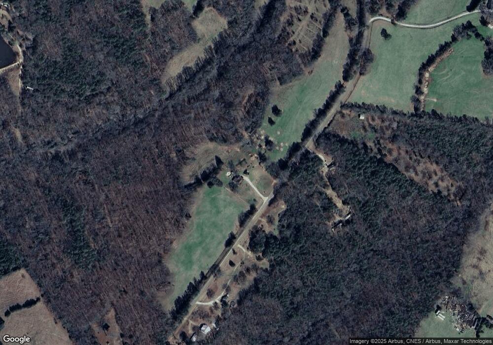
Map
Nearby Homes
- 2946 Rock Branch Rd
- 0 Gregg Shoals Dr Unit 10497348
- 0 Gregg Shoals Dr Unit CL342115
- 0 Gregg Shoals Dr Unit LotWP001 24031325
- 0 Jacks Hat Rd Unit 10614621
- 0 Jacks Hat Rd Unit 24288811
- 0 Jacks Hat Rd Unit 10597905
- 0 Jacks Hat Rd Unit 7657227
- 0 Moore Rd Unit 10552577
- 0 Hornets Bridge Rd Unit 10523059
- 0 Hornets Bridge Rd Unit 10523061
- 0 Hornets Bridge Rd Unit 10601215
- 0 Hornets Bridge Rd Unit 2 10295928
- 39B Omaha Dr
- Lot 26 Omaha Dr
- Lot 26 Omaha Dr Unit 26
- Lot 36 Omaha Dr
- 52B Omaha Dr
- 0 Omaha Dr Unit 7591330
- 0 Omaha Dr Unit 10536866
- 0 Green Acres Rd Unit 10313576
- 2934 Green Acres Rd
- 2934 Green Acres Rd
- 2932 Green Acres Rd
- 2920 Green Acres Rd
- 2915 Green Acres Rd
- 3050 Green Acres Rd
- 3024 Green Acres Rd
- 2885 Green Acres Rd
- 2886 Green Acres Rd
- 1855 Marion Rd
- 2872 Green Acres Rd
- 2848 Green Acres Rd
- 1773 Marion Rd
- 3363 Anderson Hwy
- 1341 Delia Dr
- 3375 Anderson Hwy
- 0 Craft Rd Unit 20098865
- 0 Craft Rd Unit 7013610
- 0 Craft Rd Unit 8041434