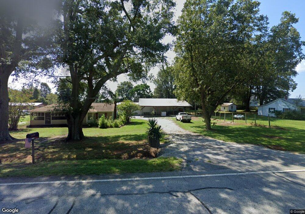
2969 Highway 59 Lavonia, GA 30553
Estimated Value: $132,000 - $287,000
3
Beds
2
Baths
1,281
Sq Ft
$163/Sq Ft
Est. Value
About This Home
This home is located at 2969 Highway 59, Lavonia, GA 30553 and is currently estimated at $208,995, approximately $163 per square foot. 2969 Highway 59 is a home located in Franklin County with nearby schools including Franklin County High School.
Ownership History
Date
Name
Owned For
Owner Type
Purchase Details
Closed on
Nov 20, 2007
Sold by
Briggs Forice W
Bought by
Neave Jeff
Current Estimated Value
Purchase Details
Closed on
Aug 4, 2006
Sold by
The Mtg Market Inc
Bought by
Briggs Forice W
Home Financials for this Owner
Home Financials are based on the most recent Mortgage that was taken out on this home.
Original Mortgage
$48,000
Interest Rate
6.71%
Mortgage Type
New Conventional
Purchase Details
Closed on
Jul 5, 2005
Sold by
Porter George L
Bought by
National City Bank Of Pennsylv
Purchase Details
Closed on
Apr 10, 2005
Sold by
National City Bank Of Penn
Bought by
The Mtg Market Inc
Purchase Details
Closed on
Apr 8, 2003
Sold by
Marsteller Mark
Bought by
Porter George L and Harris Myrtle E
Purchase Details
Closed on
Jun 10, 1999
Sold by
Childs Claude W
Bought by
Marsteller Mark
Purchase Details
Closed on
Jun 10, 1996
Bought by
Childs Claude W
Create a Home Valuation Report for This Property
The Home Valuation Report is an in-depth analysis detailing your home's value as well as a comparison with similar homes in the area
Home Values in the Area
Average Home Value in this Area
Purchase History
| Date | Buyer | Sale Price | Title Company |
|---|---|---|---|
| Neave Jeff | $60,000 | -- | |
| Briggs Forice W | $60,000 | -- | |
| National City Bank Of Pennsylv | -- | -- | |
| The Mtg Market Inc | $36,250 | -- | |
| Porter George L | $35,100 | -- | |
| Marsteller Mark | $22,000 | -- | |
| Childs Claude W | $12,500 | -- |
Source: Public Records
Mortgage History
| Date | Status | Borrower | Loan Amount |
|---|---|---|---|
| Previous Owner | Briggs Forice W | $48,000 |
Source: Public Records
Tax History Compared to Growth
Tax History
| Year | Tax Paid | Tax Assessment Tax Assessment Total Assessment is a certain percentage of the fair market value that is determined by local assessors to be the total taxable value of land and additions on the property. | Land | Improvement |
|---|---|---|---|---|
| 2024 | $1,022 | $42,950 | $2,674 | $40,276 |
| 2023 | $1,021 | $39,584 | $2,431 | $37,153 |
| 2022 | $934 | $36,208 | $1,882 | $34,326 |
| 2021 | $868 | $31,542 | $1,882 | $29,660 |
| 2020 | $814 | $29,267 | $1,882 | $27,385 |
| 2019 | $786 | $29,267 | $1,882 | $27,385 |
| 2018 | $688 | $25,599 | $2,411 | $23,188 |
| 2017 | $715 | $25,599 | $2,411 | $23,188 |
| 2016 | $676 | $23,157 | $2,411 | $20,746 |
| 2015 | -- | $22,620 | $2,411 | $20,210 |
| 2014 | -- | $22,621 | $2,411 | $20,210 |
| 2013 | -- | $22,620 | $2,411 | $20,209 |
Source: Public Records
Map
Nearby Homes
- 125 Charity Dr
- 56 Harriet Dr
- 68 Harriet Dr
- 181 Charity Dr
- 222 Charity Dr
- 3434 Highway 59
- 104 Powers Rd
- 148 Allen Dr
- 138 Victoria Ln
- 271 Harbor Light Marina Rd
- 0 Hwy 59 and Ross Place Unit 10499138
- 1320 Franklin Co Boat Ramp Rd
- 59 Wright St Unit 69
- 346 Park Place Dr Unit LOT 5
- 310 Park Place Dr Unit LOT 3
- 89 Huntington Dr
- 49 Wright St Unit 65
- 55 Wright St Unit 67
- 57 Wright St Unit 68
- 51 Wright St Unit 66
- 2969 Georgia 59
- 2999 Highway 59
- 2949 Highway 59
- 155 Ansley Dr
- 135 Ansley Dr
- 173 Ansley Dr Unit 14
- 173 Ansley Dr Unit LOT 12
- 173 Ansley Dr
- 117 Ansley Dr
- 0 Ansley Dr Unit 54 7161792
- 0 Ansley Dr Unit 53 7161747
- 0 Ansley Dr Unit 3145275
- 0 Ansley Dr Unit 3195902
- 0 Ansley Dr Unit 4330234
- 0 Ansley Dr Unit 54 07161792
- 0 Ansley Dr Unit 53 07161747
- 0 Ansley Dr Unit 7011995
- 0 Ansley Dr Unit 9062729
- 0 Ansley Dr Unit 9005740
- 0 Ansley Dr Unit 3256244