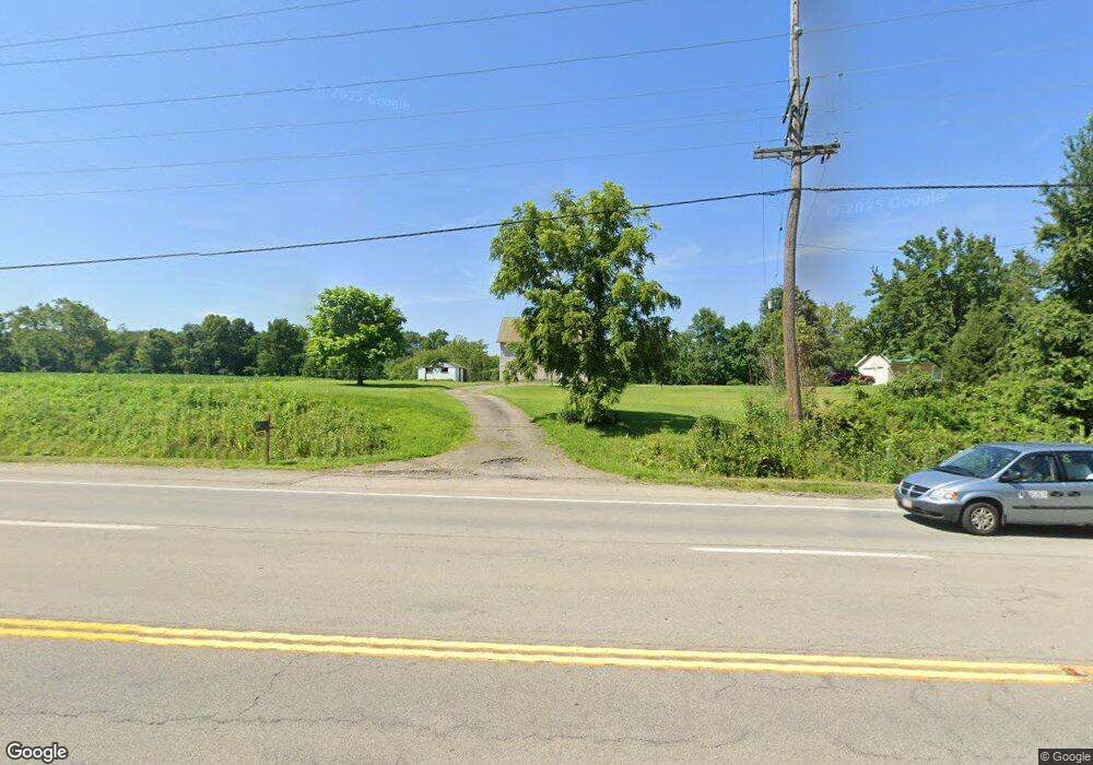
2969 State Route 125 Bethel, OH 45106
Estimated Value: $600,000
4
Beds
2
Baths
3,386
Sq Ft
$177/Sq Ft
Est. Value
About This Home
This home is located at 2969 State Route 125, Bethel, OH 45106 and is currently estimated at $600,000, approximately $177 per square foot. 2969 State Route 125 is a home located in Clermont County with nearby schools including Bick Primary Elementary School, Hill Intermediate Elementary School, and Bethel-Tate Middle School.
Ownership History
Date
Name
Owned For
Owner Type
Purchase Details
Closed on
Jun 29, 2018
Sold by
Sipple Jerry O and Sipple Eileen
Bought by
Campbell Amy L and Campbell Dale E
Current Estimated Value
Home Financials for this Owner
Home Financials are based on the most recent Mortgage that was taken out on this home.
Original Mortgage
$240,000
Outstanding Balance
$208,456
Interest Rate
4.6%
Mortgage Type
Balloon
Estimated Equity
$391,544
Purchase Details
Closed on
Aug 12, 2005
Sold by
Brown Rowena
Bought by
Brown Rowena
Purchase Details
Closed on
Feb 19, 2004
Sold by
Brown Rowena
Bought by
Brown Rowena
Create a Home Valuation Report for This Property
The Home Valuation Report is an in-depth analysis detailing your home's value as well as a comparison with similar homes in the area
Home Values in the Area
Average Home Value in this Area
Purchase History
| Date | Buyer | Sale Price | Title Company |
|---|---|---|---|
| Campbell Amy L | $317,700 | Stewart Title | |
| Brown Rowena | -- | -- | |
| Brown Rowena | -- | -- |
Source: Public Records
Mortgage History
| Date | Status | Borrower | Loan Amount |
|---|---|---|---|
| Open | Campbell Amy L | $240,000 |
Source: Public Records
Tax History Compared to Growth
Tax History
| Year | Tax Paid | Tax Assessment Tax Assessment Total Assessment is a certain percentage of the fair market value that is determined by local assessors to be the total taxable value of land and additions on the property. | Land | Improvement |
|---|---|---|---|---|
| 2024 | $2,216 | $57,720 | $13,650 | $44,070 |
| 2023 | $2,235 | $57,720 | $13,650 | $44,070 |
| 2022 | $2,513 | $57,720 | $13,650 | $44,070 |
| 2021 | $2,418 | $57,720 | $13,650 | $44,070 |
| 2020 | $2,306 | $57,720 | $13,650 | $44,070 |
| 2019 | $3,171 | $74,830 | $13,370 | $61,460 |
| 2018 | $3,256 | $74,830 | $13,370 | $61,460 |
| 2017 | $3,276 | $74,830 | $13,370 | $61,460 |
| 2016 | $3,143 | $65,520 | $11,620 | $53,900 |
| 2015 | $2,562 | $65,520 | $11,620 | $53,900 |
| 2014 | $2,562 | $68,110 | $14,210 | $53,900 |
| 2013 | $2,619 | $67,100 | $11,900 | $55,200 |
Source: Public Records
Map
Nearby Homes
- 720 W Plane St
- 2721 Ohio 232
- 314 Faith Way
- 215 N Union St
- 3143 Macedonia Rd
- 242 S Main St
- 2068 Ohio 133
- 250 N Charity St
- 340 N East St
- 236 N East St
- 2702 St Rt 125
- 140 Clark St
- 250 E Plane St
- 3141 Sugartree Rd
- 231 Rich St
- 0 Spring St Unit 1857345
- 127 Rich St
- 2688 Spring St
- 3526 Starling Rd
- 2572 Poplar Ridge Dr
- 2969 State Route 125
- B Ohio 125
- 2968 Ohio 125
- 2999 State Route 125
- 2990 State Route 125
- 2839 Burke Rd
- 3001 State Route 125
- 2849 Burke Rd
- 2860 Burke Rd
- 3011 State Route 125
- 3011 Ohio 125
- 2686 Swings Corner Point Isabel Rd
- 2869 Burke Rd
- 2686 Swngs Corner Pt Isab Rd
- 3017 St Rt 125
- 3017 Ohio 125
- 2935 State Route 125
- 2935 State Route 125
- 2874 Burke Rd
- 2903 St Rt 125